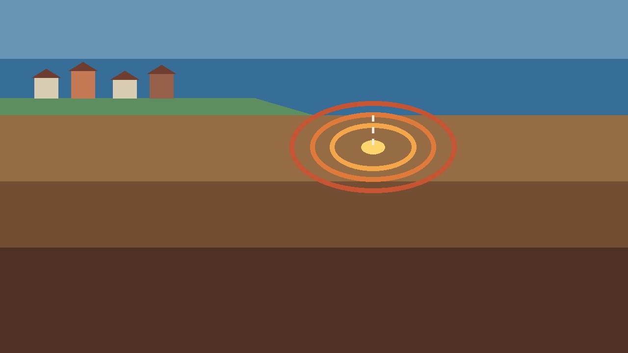
A magnitude 5.0 earthquake struck 115 km (about 71 miles) southeast of Bushehr, Iran, at 21:20 UTC on Saturday, October 31, the US Geological Survey (USGS) reported for event us7000tukm. The quake was shallow — its hypocentre was just 10.0 km below the surface — at coordinates 28.114°N, 51.508°E, and the USGS solution was reviewed by a seismologist, according to the USGS record. In local time that was 12:50 a.m. on Sunday in Tehran, and 5:20 p.m. on Saturday in Toronto.
Source: USGS event us7000tukm, via Terremoto snapshot of the USGS record, October 31, 2026
Independent trackers working from the same USGS telemetry recorded the same event with the same figures — magnitude 5.0, depth 10 km, 115 km southeast of Bushehr — and a wire summary of the quake was also carried on Saturday evening under the headline "5.0-magnitude quake shakes southern Iran," noting that it struck early on Sunday, local time. No tsunami was reported for the event.
Source: Earthquake Today, reporting USGS telemetry for event us7000tukm, October 31, 2026
No damage reported yet — and a second quake the same day
No felt reports had been received for the Bushehr event in the monitoring data available when this story was published, and no casualties or damage had been reported. That picture can change as Iranian authorities and local media assess the area around the epicentre, and seismologists may still revise the magnitude or depth as more station data is reviewed.
Source: QuakeWire, reporting USGS data for the Bushehr event, October 31, 2026
It was not southern Iran's only earthquake on Saturday. Earlier, at 17:16 UTC, a magnitude 4.3 earthquake struck 54 km west of Gerash, in Fars province, also at a depth of 10 km, according to USGS data. The two events were in different parts of the south and there is no indication in the agency data that they are directly linked.
Source: USGS event us7000tukm, via Terremoto snapshot of the USGS record, October 31, 2026
Southern Iran sits on the Zagros collision zone, where the Arabian plate pushes into the Eurasian plate — one of the world's most active earthquake belts, and one that has produced devastating quakes in the past. A shallow magnitude 5.0 is moderate: strong enough to be felt widely near the epicentre and to damage weak buildings, but far below the size of Iran's deadliest historical earthquakes.