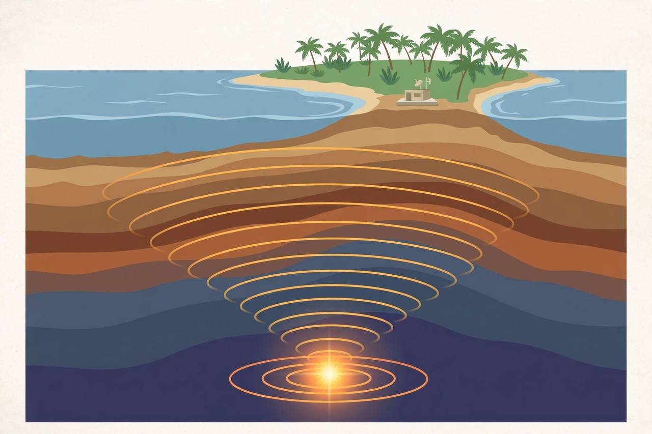
A magnitude 5.5 earthquake struck 283 km east of Levuka, Fiji, at a deep focal depth of 641.8 km on Monday, October 26, at 10:13 UTC, according to verified USGS telemetry reported by Earthquake Today. The epicentre was located at coordinates 18.283 degrees south, 178.011 degrees west, beneath the Fiji region in the Southwest Pacific, with Levuka on the island of Ovalau the nearest notable locality.
Source: USGS via Earthquake Today, Oct 26
There is no tsunami threat associated with this earthquake, based on its location and available data, Watchers reported, citing USGS data. The USGS issued a green alert for this event, indicating a low likelihood of casualties or damage. The maximum estimated intensity was I, and the significance index is 465 on a scale that runs through 1,000, based on magnitude, felt reports and estimated impact, Watchers reported. No felt reports had been received so far at the time of the early reports.
Source: Watchers, citing USGS, Oct 26
Why the depth matters
Deep-focus earthquakes rarely cause damage, because the energy dissipates over hundreds of kilometres before reaching the surface, though it can still be felt far from the epicentre. Fiji sits near the Tonga-Kermadec subduction zone, one of the most active seismic regions in the world, where the Pacific Plate is subducting beneath the Indo-Australian Plate, regularly generating deep-focus earthquakes, Watchers reported. A smaller magnitude 4.3 earthquake was also recorded in the same area at 10:30 UTC, 287 km east of Levuka at a depth of 636.6 km, according to USGS data reported by QuakeWire.
Source: Watchers, citing USGS, Oct 26