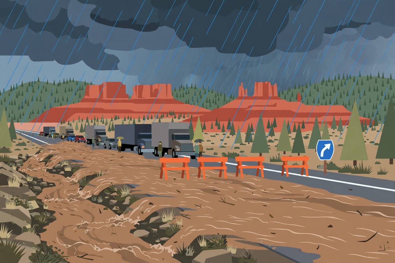
FLAGSTAFF / SEDONA, Arizona — Flooding closed Interstate 17 in both directions and shut State Route 89A between Sedona and Kachina Village on Sunday morning, November 1, with no estimated time to reopen, as the atmospheric river forecasters had warned about all weekend poured heavy rain onto ground already saturated by Friday's storms. The closures are the major new development in a storm sequence this site has followed from the first flood watches: the watches became Friday's Phoenix street floods, and on Sunday they became closed interstates in northern Arizona.
Source: Arizona Department of Transportation via FlagScanner (updated 10:17 a.m. Sun Nov 1)
The Arizona Department of Transportation's closure list on Sunday morning was short and stark: Interstate 17 northbound at State Route 179 — the Sedona turnoff — and Interstate 17 southbound at milepost 337 near the Flagstaff airport, plus the whole of State Route 89A from Sedona to Kachina Village, mileposts 375 to 397. Motorists were advised to expect delays and avoid travelling in these areas, and the department gave no estimated time to reopen the highways.
Warnings stacked through Sunday
The National Weather Service in Flagstaff issued a flash flood warning at 8:15 a.m. MST on Sunday for Coconino County in north-central Arizona and Yavapai County in west-central Arizona, running to 11:15 a.m. Doppler radar and automated rain gauges showed between 1.25 and 2.5 inches of rain had already fallen, and forecasters warned of life-threatening flash flooding of creeks, streams, normally dry washes, urban areas, highways, streets and underpasses. Places named in the warning included Sedona, Cornville, Page Springs, Red Rock State Park and Slide Rock State Park, and the highways listed were State Route 179 between mile markers 310 and 313 and State Route 89A between mile markers 373 and 384 and again between 386 and 390.
Source: National Weather Service Flagstaff via FlagScanner
A wider flood warning issued at 7:44 a.m. MST, running to 1:45 p.m., covered Coconino, Gila and Yavapai counties, where between 1 and 2 inches of rain had fallen on thunderstorms by early morning. It listed State Route 260 between mile markers 238 and 285, State Route 188 between mile markers 267 and 276 and State Route 87 between mile markers 230 and 292 among the highways in the warned area. Separately, the Weather Service in Phoenix kept a flood warning on the Verde River in Maricopa County until 8:00 a.m. MST on Monday, November 2, with flooding at low-water crossings, and a flood watch covered central and northern Arizona through Sunday evening.
Source: National Weather Service Flagstaff / Phoenix via FlagScanner and NWS alert records
An atmospheric river over ground that cannot take more water
The storm is an inland-penetrating atmospheric river: the Weather Service office in Phoenix said the moisture in the atmosphere would surge "in excess of climatological maxima for this time of year" from Saturday night into Sunday, and the Tucson office described the system as a level 3 atmospheric river on a 1-to-5 scale, with moisture levels approaching November records. The Weather Prediction Center put parts of the Four Corners region under a Moderate Risk — level 3 of 4 — of excessive rainfall for Sunday, expected widespread 3-inch totals north and east of Phoenix with localized higher amounts, and forecasters in Flagstaff warned of an additional 1 to 3 inches over northern and central Arizona, with 4 to more than 6 inches possible on slopes facing the incoming moisture.
Source: National Weather Service / Weather Prediction Center via WeatherBoy
Friday had already shown what this ground does with rain. Thunderstorms flooded streets and washes across the Phoenix area on Friday evening: parts of Paradise Valley received 2 to 3 inches of rain in the three hours from 5 p.m. to 8 p.m., much of north Scottsdale received 1 to 2 inches, and more than 5,000 Salt River Project and Arizona Public Service customers lost power at the height of the storms, with about 1,000 APS customers still out around 9 p.m., KTAR News reported. Scottsdale police closed Shea Boulevard between 64th and 70th streets over downed power lines and closed the intersection of Scottsdale and Deer Valley roads because of flooding.
Source: KTAR News via WeatherBoy
Interstate 17 is the only interstate between Phoenix and Flagstaff and a working freight corridor; with both directions closed and no reopening time, check Arizona Department of Transportation updates before setting out and expect long detours. The Weather Service's standing warning applies with full force on desert roads: never drive into flooded roads or washes — hazards can be submerged, a manhole can be moved, and a few inches of running water can sweep away a car. Turn around, don't drown.
What happens next
The Flagstaff flood watch runs through 5 a.m. Monday, the Verde River warning through 8 a.m. Monday, and rain is expected to continue through Sunday evening across central and northern Arizona, on top of the 0.75 to 1.75 inches forecasters expected around Phoenix itself. Highway crews cannot set a reopening time until the water drops and the road surfaces and washes are checked, so the I-17 and SR 89A closures should be treated as open-ended through Sunday. This story will be updated when the Department of Transportation lists a reopening.