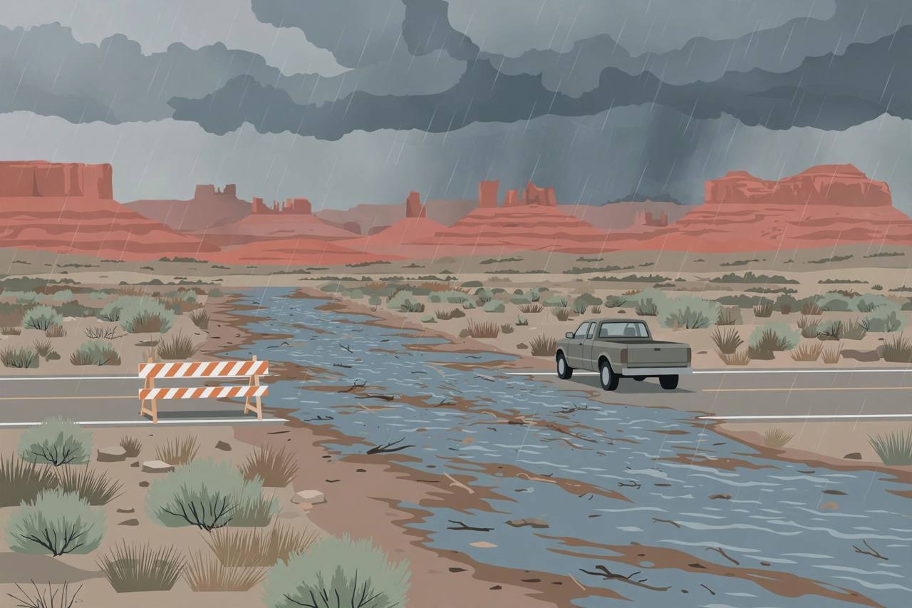
The National Weather Service in Flagstaff issued a Flash Flood Warning at 11:02 a.m. Mountain Standard Time on Wednesday, October 21, for the Moenkopi Wash in Coconino County, north-central Arizona, after a river gauge reported a rapid rise of around 8 feet from thunderstorms producing heavy rain. The warning, in effect until 3:00 p.m. MST, covers Moenkopi, Highway 160 between mile markers 318 and 321, U.S. Highway 89 between mile markers 476 and 478, and State Route 264 between mile markers 323 and 324, along with the Little Colorado River and the Begashibito, Fivemile, Moenkopi and Hamblin washes.
Source: NWS Flagstaff via Flagscanner — Flash Flood Warning for Moenkopi Wash (Oct. 21, 2026)
The Weather Service called it a "life-threatening situation," warning that heavy rainfall would cause extensive and severe flash flooding of creeks, streams and ditches in the Moenkopi Wash area, that severe debris flows could be anticipated across roads, and that roads and driveways may be washed away in places. "If you encounter flood waters, climb to safety," the alert said.
Source: NWS Flagstaff via Flagscanner — Flash Flood Warning for Moenkopi Wash (Oct. 21, 2026)
First tornado watch in 16 years
At 10:10 a.m., the Weather Service issued a Tornado Watch running until 6:00 p.m. for Coconino, Navajo and Yavapai counties. According to the FOX Forecast Center, it is the first Tornado Watch issued in Arizona in 16 years, Bazaar Daily News reported. The Weather Service had already issued several tornado warnings through the morning: one at 5:49 a.m. near Fort Valley, about 11 miles northwest of Flagstaff; another from 9:22 to 9:45 a.m. for downtown Flagstaff on radar-indicated rotation; and one at 11:32 a.m. for the Valle area south of Grand Canyon Village, which was cancelled at 11:44 a.m. after the storm weakened. No tornado has been confirmed on the ground, and no damage had been reported in the morning updates.
Source: Bazaar Daily News — Live Updates: Tornado Warnings Hit Northern Arizona (Oct. 21, 2026)
The NOAA Storm Prediction Center placed parts of central and northwestern Arizona under an Enhanced Risk of severe thunderstorms — level three of five, a designation the state rarely sees — with the strongest storms expected along the Mogollon Rim and capable of hailstones greater than two inches in diameter, Bazaar Daily News reported. Separately, flooding forced the closure of the Monument Valley Scenic Drive in the Monument Valley Navajo Tribal Park, with the Navajo Nation Division of Transportation citing visitor safety, and the Weather Service in Tucson issued a 1:18 p.m. Severe Thunderstorm Warning for parts of Cochise, Graham, Pima and Pinal counties.
Source: Bazaar Daily News — Live Updates: Tornado Warnings Hit Northern Arizona (Oct. 21, 2026)
Forecasters warned drivers never to drive through a flooded wash or a water-covered road — most Arizona flood deaths happen in vehicles — and to have more than one way to receive warnings. Yaani: this is a rare, genuinely dangerous October storm setup for Arizona, not a routine rain day; anyone driving through northern Arizona today should plan around the warnings, not around a clock.