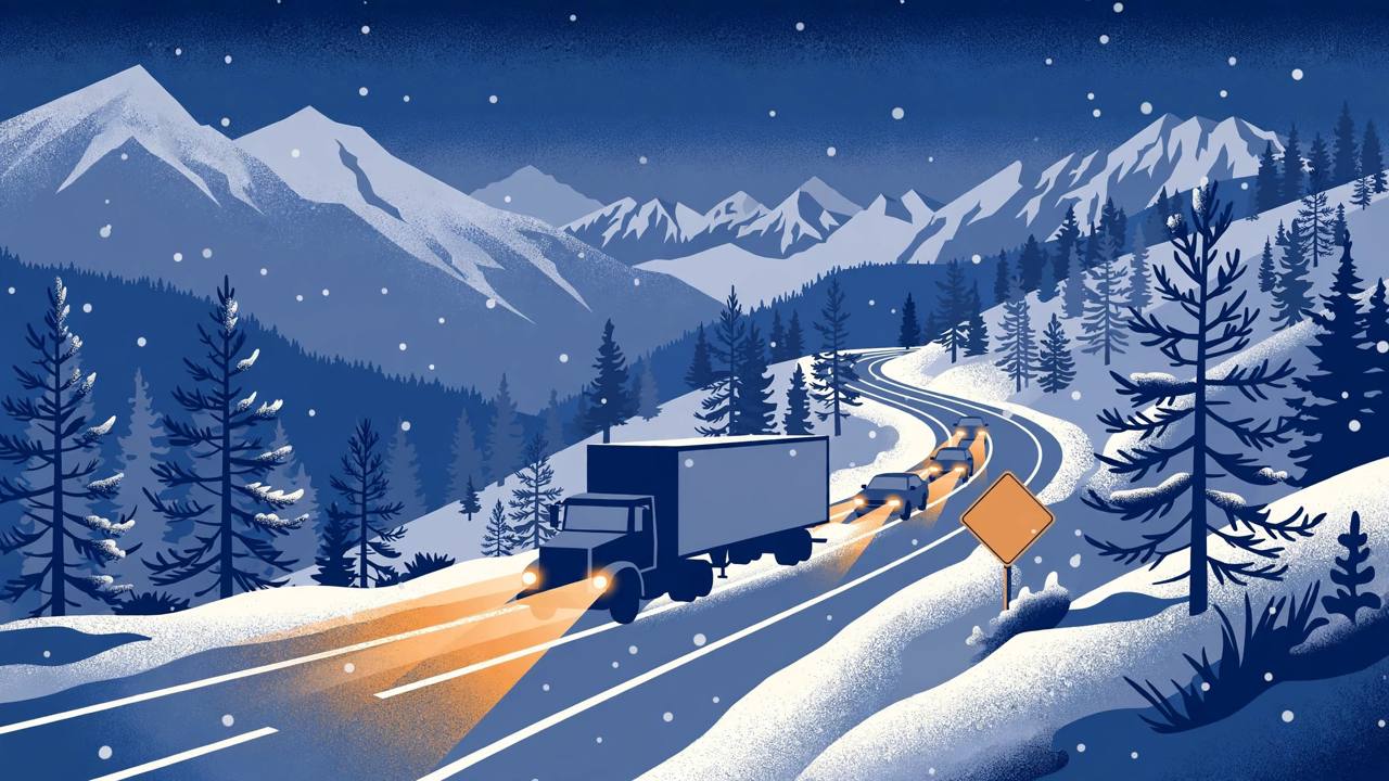
The Sierra Nevada is heading into its first big Halloween-weekend snow, and the National Weather Service has put the whole mountain chain under winter weather advisories from Saturday morning into Sunday morning — including the stretches of Interstate 80 and Highway 50 that carry traffic, and a large share of California's freight, between Sacramento, Lake Tahoe and Nevada.
Source: Men's Journal
Three National Weather Service offices — Sacramento, Reno and Hanford — issued the advisories on Thursday, October 29. All of them run from 8 a.m. Pacific Daylight Time on Saturday, October 31 to 7 a.m. Pacific Standard Time on Sunday, November 1. The end time is in standard time for a simple reason: daylight saving time ends at 2 a.m. on Sunday, in the middle of the storm, so clocks go back an hour while the snow is still falling.
Source: Men's Journal
What each forecast office is calling for
The Sacramento office's advisory covers the Sierra Nevada above 5,000 feet in Sierra, Nevada, Placer, El Dorado, Amador, Alpine, Calaveras and Tuolumne counties, including I-80 and Highway 50. Forecasters expect snow above 7,000 feet, with up to 8 inches in the advisory area and as much as 12 inches on the highest peaks. Up to 2 inches could fall as low as 6,000 feet.
In the Greater Lake Tahoe area, the Reno office is calling for 2 to 5 inches of snow above 7,000 feet, with up to 9 inches along the highest peaks and wind gusts that could reach 50 mph. Mono County, on the east side of the Sierra, could see 3 to 6 inches above 8,000 feet and up to 12 inches on the highest peaks, with gusts up to 45 mph — wind strong enough, the weather service said, to bring down tree branches. In both areas the heaviest snow is expected late on Saturday night.
Source: Men's Journal
Farther south, the Hanford office's advisory covers Yosemite National Park outside the valley floor, the Upper San Joaquin River, the Kaiser to Rodgers Ridge area, and Kings Canyon and Sequoia national parks. It forecasts 4 to 7 inches between 7,500 and 9,500 feet and up to 11 inches above 9,500 feet.
What the Reno forecast discussion adds
The Reno office's detailed forecast discussion, issued at 12:50 p.m. Pacific on Thursday, October 29, puts probabilities behind the headline numbers. For Donner Pass, the summit crossing on I-80, forecasters see a 50 percent chance of 3 or more inches of snow from this system, while elevations above 8,000 feet in Mono County carry a 30 to 45 percent chance of 6 or more inches and the highest Sierra elevations a 15 to 25 percent chance of 12 or more inches. Tahoe Basin snow levels are expected to drop to between 6,500 and 7,500 feet on Saturday evening and lower still, to about 5,750 to 6,250 feet, by Sunday morning. Temperatures on Sunday are expected to run 10 to 20 degrees below seasonal normals, with Sunday night lows around or below freezing in western Nevada and in the teens to low 20s in Sierra communities.
Source: National Weather Service, Reno
That is the identical warning in all three advisories. The heaviest snow is expected Saturday evening into Sunday, exactly when snow levels are falling. Anyone crossing the Sierra this weekend — for Halloween in Tahoe, for work, or on a freight run — should check Caltrans QuickMap for chain controls and closures and Nevada 511 before setting out, and be ready for the forecast to be updated.
Why this matters for drivers and truckers
Interstate 80 over Donner Pass is the main east-west freight corridor linking the Sacramento Valley and the Central Valley — home to a large share of California's Punjabi trucking community — with Reno and the routes east. Highway 50 over Echo Summit is the second Sierra crossing, to South Lake Tahoe. When snow levels fall toward 6,000 feet on a Saturday night, both passes sit squarely in the snow zone, and chain controls or slow, single-file traffic can turn a routine crossing into hours of delay. The timing adds a second trap: because the clocks change at 2 a.m. Sunday, a driver planning around a 7 a.m. advisory expiry is working in the new standard time, not the time on Saturday's clock.
This is the Sierra's second significant snow episode in ten days. On October 21, an earlier storm shut three high passes, with Tioga Road closing for the season's turn toward winter. As of Thursday afternoon, the weather service had no winter weather alerts in effect for neighbouring Utah or Colorado, which keeps the focus of this weekend's storm squarely on the California-Nevada Sierra — and on everyone whose weekend plans or delivery schedules cross it.
What happens next
The advisories expire at 7 a.m. Pacific Standard Time on Sunday, November 1, and the Reno discussion expects the system to taper off on Sunday afternoon and leave the region by Sunday night. Forecasters will update snowfall totals as the storm gets closer, and totals have already been revised upward once this week — a second Men's Journal report on Thursday evening noted increased Sierra totals and the Reno advisory for the Tahoe Basin above 7,000 feet and Mono County above 8,000 feet. Travellers should treat Saturday daytime, before the heaviest snow and the falling snow levels, as the safer crossing window.
Source: Men's Journal