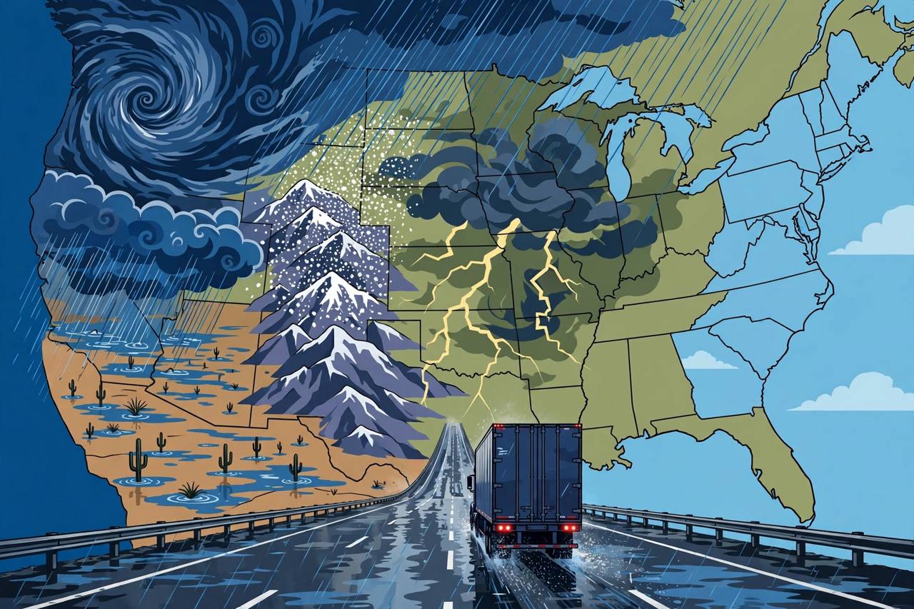
One storm system is about to take a week-long trip across the United States. A powerful Pacific storm driven by an El Niño pattern surges into California and the Southwest on Halloween, Saturday, October 31, and then develops into a cross-country system that will deliver heavy rain, flash flooding, severe thunderstorms and high-elevation snow across more than 35 states through next week, according to FOX Weather. On Election Day, Tuesday, November 3, the entire Central United States could see rain, with severe thunderstorms possible across parts of the South.
Source: FOX Weather
The first blow lands on the West Coast. Southern California will see moderate-to-heavy soaking rains by Saturday, likely disrupting Halloween plans in larger cities including Los Angeles and San Diego, the FOX Forecast Center said. A wet Halloween is rare in San Diego: the city has recorded only nine Halloweens with measurable rain since 1850, the most recent in 1987. Some rain fell in Arizona on Friday ahead of the main event, setting the stage for the heavier round arriving Saturday into Sunday.
Southwest flood threat: the danger peaks Sunday
The most dangerous part of the forecast is in the Southwest. The National Weather Service's Weather Prediction Center (WPC) has placed the Four Corners region under a Moderate Risk — Level 3 out of 4 — of excessive rainfall for Sunday, November 1, in an outlook updated early Friday, October 30, and valid from 12 UTC Sunday to 12 UTC Monday. The WPC calls this "a high-impact heavy rainfall event": moisture four to five standard deviations above normal will run into the 14,000-foot peaks of the San Juan Mountains in southwest Colorado, producing roughly 18 hours of steady heavy precipitation. Snow levels will rise above 11,000 feet, which means most middle elevations and valleys get rain, not snow. A broad Slight Risk covers all of Arizona and parts of each neighbouring state, and the WPC says parts of central Arizona could still be upgraded.
Source: NWS Weather Prediction Center
The rainfall numbers are large for desert country. FOX Weather reports widespread totals of 1 to 2 inches or more across portions of Arizona through Monday morning, with up to 5 inches possible from Phoenix to Flagstaff. Flagstaff has already recorded 5.69 inches of rain so far in October; if an additional 3 inches falls as forecast, significant flash flooding could occur, the FOX Forecast Center warned. Flood watches are in effect across parts of Arizona, New Mexico, Utah and Colorado through early November 2, including watches from the National Weather Service offices in Phoenix, Flagstaff and Grand Junction covering the Phoenix metropolitan area, Yavapai and northern Gila counties, and the Four Corners, Upper Dolores, Animas and San Juan river basins.
Source: The Watchers, summarising NWS watches
The background makes this storm more dangerous than the raw totals suggest: the ground is already saturated. A preview unfolded in Nevada on Friday, when heavy rain triggered dangerous flash flooding in the Las Vegas area. Just last week, flash flooding in the same region killed two people in New Mexico, rivers in the Four Corners reached their highest levels in 50 to 100 years, and Pagosa Springs, Colorado, declared a local emergency after flooding on October 23. Rivers that peaked last week could approach those levels again just one week later, FOX Weather reported, and moderate-to-major river flooding is possible from Sunday into early Monday around the Four Corners and Colorado's San Luis Valley.
Snow from the Sierra to the Rockies
While valleys flood, the high country turns white. As colder air becomes trapped in the higher elevations, snow is expected from California's Sierra Nevada to the Rocky Mountains. The southern Rockies will see the highest totals, between 12 and 18 inches in some locations, according to the FOX Forecast Center. For drivers, that means two different hazards from the same system within a few hundred miles: flash flooding on desert roads and winter conditions on mountain passes.
Plains and Midwest next — and an Election Day severe-weather risk
Later Monday, November 2, the storm moves into the Plains and Midwest. Nearly 40 million Americans sit under a large Level 1 out of 4 flash-flood threat stretching from Texas to Wisconsin on Monday. Ahead of the system, a new area of low pressure is expected to form over the Plains, pulling warm, moist air northward into an approaching cold front. Severe storms may develop along that front from Monday into Wednesday. "Right now, a limiting factor is how much instability or storm energy will set up in the region," the FOX Forecast Center said. "Still, the atmosphere is becoming primed and energized for severe storms to develop from Texas into parts of the Southeast." A Level 2 out of 5 risk of severe thunderstorms covers Kansas, Oklahoma and northern Texas, including Oklahoma City and Wichita, for Election Day.
The flood risk covers the I-17 corridor between Phoenix and Flagstaff and I-40 across northern Arizona on Sunday, with mountain snow in the southern Rockies and a Texas-to-Wisconsin flood threat on Monday. Weather-service guidance is consistent: never drive through flooded roads, allow extra time on mountain routes, and check updated National Weather Service watches before setting out — forecasts for late in the week can still change.
From Wednesday onward, the system pushes into the East, potentially bringing heavy rain Thursday and Friday to major cities on the I-95 corridor. Raleigh in North Carolina, Washington, D.C., New York City and Boston could all see rain for the first time in nearly two weeks. For Punjabi families and truckers spread across California, Arizona, Texas and the East Coast, the same system may mean a washed-out Halloween in the West, flooded desert highways over the weekend, and a wet trip to the polls on Tuesday.
What happens next: the Weather Prediction Center will update its excessive-rainfall outlooks daily as the Sunday Four Corners risk approaches, and local National Weather Service offices will convert watches into warnings if flooding develops. FOX Weather notes this storm could be a small preview of a dangerous, El Niño-driven wet pattern this winter, with a Super El Niño expected to be declared later this year. El Niño generally brings a stormy pattern to California and the Southern Tier of the United States by nudging the Pacific jet stream southward — the atmospheric conveyor belt that carries storms across the country.