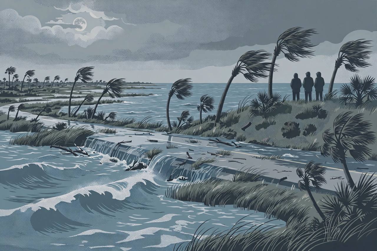
Northeast Florida and Southeast Georgia face moderate, locally major tidal flooding through the weekend and into early next week, as persistent northeast winds and the approaching full moon push water well above normal along the First Coast, Jacksonville Focal reported on October 23.
Source: Jacksonville Focal (Focal News)
A Coastal Flood Advisory runs until 2 a.m. Saturday for Jacksonville, followed by a Coastal Flood Watch from early Saturday through 8 p.m. Monday, according to the alert listing for the city. Forecasters say water levels could rise about 1.5 to 2.5 feet above normal — roughly half a metre to three-quarters of a metre — putting low-lying neighbourhoods, roads and properties near tidal creeks, rivers and the Intracoastal Waterway at risk, and the watch could be extended into Tuesday or Wednesday if conditions require it.
The National Weather Service office in Jacksonville, in its area forecast discussion issued early Thursday, likewise warned of increased marine and coastal hazards this weekend and early next week, strong northeasterly winds developing Friday night along the I-95 corridor, and moderate tidal and coastal flooding likely during the upcoming weekend, with gale conditions possible in the local Atlantic waters.
Source: National Weather Service, Jacksonville (Area Forecast Discussion)
Dangerous surf and rip currents at the beaches
Beach conditions are expected to worsen alongside the flooding. A high risk of rip currents is forecast through much of the weekend, surf could reach 7 to 10 feet by Sunday, and a High Surf Advisory may be issued, the Jacksonville report said. Gale-force northeast winds could develop offshore as early as Friday night and are more likely over the weekend and early next week.
Rain is expected, particularly on Saturday, but forecasters say it is not the main concern. Coastal areas could receive about a half-inch to an inch, while locations farther inland, from the I-95 to the I-75 corridor, are forecast to get roughly 0.01 to 0.50 inches, with repeated showers bringing locally heavier totals near the coast.
The flooding is tidal, so it can arrive at high tide even where little rain falls. Avoid driving through water-covered coastal roads, move vehicles from low-lying spots near creeks and the Intracoastal, and stay out of the surf while the rip-current risk is high. Check the latest NWS Jacksonville alert before travelling this weekend.
What is solid
- A Coastal Flood Watch is in effect for the Jacksonville / First Coast area from early Saturday through Monday at 8 p.m., after a Coastal Flood Advisory until 2 a.m. Saturday (alert listing for Jacksonville; Jacksonville Focal).
- Water levels could rise about 1.5 to 2.5 feet above normal, threatening low-lying areas near tidal creeks, rivers and the Intracoastal Waterway (Jacksonville Focal).
- NWS Jacksonville warned of strong northeasterly winds from Friday night along the I-95 corridor and moderate tidal and coastal flooding likely this weekend (NWS Jacksonville forecast discussion).
What is only claimed
- Whether the watch will be extended into Tuesday or Wednesday — forecasters said an extension is possible if conditions require it, not yet decided.
- How high the surf will get — 7 to 10 feet by Sunday is a forecast, and a High Surf Advisory had not yet been issued in the reports.