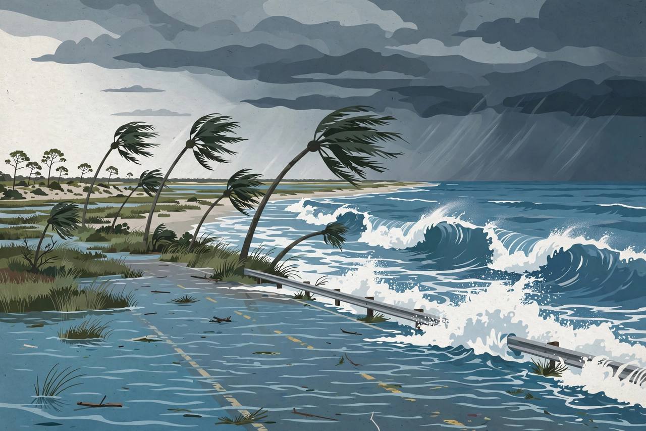
A coastal flood warning is in effect for Jacksonville and the Northeast Florida coast from Saturday, October 24, through 8 p.m. Monday, October 26, with the highest water expected near the Sunday and Monday morning high tides, the National Weather Service (NWS) said. The weather service issued the warning at 7:33 p.m. Friday, Jax Times reported, expecting significant coastal flooding and warning that “numerous roads may be closed” and that “low lying property including homes, businesses, and some critical infrastructure will be inundated.” The warning escalates the coastal flood watch that covered the First Coast on Friday.
Along the Atlantic coast and the Intracoastal Waterway, the city of Jacksonville says water could reach 2.5 to 3.5 feet above normal ground; along the St. Johns River and its tributaries, 2 to 3 feet is expected in flood-prone areas. “Flooding will be the worst around high tide, beginning Saturday evening, with the highest water levels expected near the Sunday and Monday morning high tides,” the city said. The warning covers coastal Duval, coastal Nassau, northeast and southeast coastal St. Johns and coastal Flagler counties in Florida, plus coastal Glynn and Camden counties in southeast Georgia, according to the reporting.
A high surf advisory runs from 8 a.m. Saturday to 8 p.m. Monday for coastal Duval, coastal Flagler, northeast and southeast coastal St. Johns and the southeast Georgia beaches, with large breaking waves of 7 to 11 feet, Jax Times reported, and a high rip current risk runs through 8 p.m. Monday. Offshore, a gale warning is in effect from Saturday noon to 8 p.m. Monday, with seas of 10 to 16 feet reported in the earlier watch, and a wind advisory covers Jacksonville from noon Saturday to 1 a.m. Sunday. The city listed San Marco, Riverside, Northbank, Hogans Creek and Ken Knight Drive among its flood-prone areas; in St. Johns County, officials expect moderate to locally major tidal flooding.
The flooding is driven by strong, persistent northeast winds — high pressure to the north and low pressure to the southeast — combined with high astronomical tides known as king tides, the city's Emergency Preparedness Division said. This is not a named storm, the city noted, but the National Weather Service Jacksonville advised that flooding and wind impacts could be similar to those of a tropical storm; the winds could also bring down trees and limbs and cause power outages. The NWS alert text adds that some shoreline erosion will occur and advises residents to protect flood-prone property, never drive around barricades or through water of unknown depth, and stay out of the water in the dangerous surf; anyone caught in a rip current should relax and float rather than swim against it.
The warning period runs through Monday evening, and officials stress that sunshine on Monday will not mean the water is gone: tidal flooding comes and goes with each tide cycle and worsens toward the Sunday and Monday morning peaks. Awaaz Punjab covered the earlier coastal flood watch for the First Coast on Friday; this story reports the escalation to a warning as the flooding period begins.