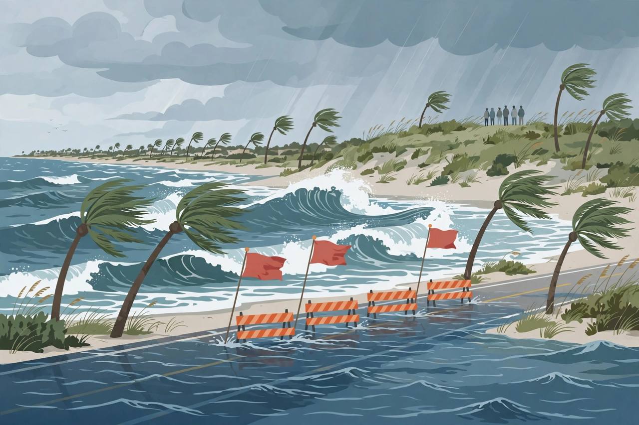
The National Weather Service (NWS) in Melbourne issued an updated Coastal Flood Warning at 2:20 a.m. EDT on Sunday, October 25, running until 2:00 a.m. EDT on Wednesday, October 28, for Coastal Volusia, Coastal Indian River, Coastal Saint Lucie, Coastal Martin, Mainland Northern Brevard, Northern Brevard Barrier Islands, Mainland Southern Brevard and Southern Brevard Barrier Islands counties. For the warning, the NWS expects significant coastal flooding; for the accompanying High Surf Advisory, large breaking waves of 7 to 12 feet in the surf zone; and a High Rip Current Risk through late Tuesday night.
Source: National Weather Service, Melbourne FL (warning text, Oct 25, 2026)
The update lengthens and widens an earlier NWS Melbourne warning issued on October 24, which covered the southern part of the same coast — Coastal Indian River, Coastal Saint Lucie, Coastal Martin and southern Brevard — with a Coastal Flood Warning from 2 a.m. Sunday to 8 p.m. Monday and breaking waves of 6 to 12 feet. Residents should follow the updated warning, which now runs into early Wednesday and includes Volusia and northern Brevard.
Source: National Weather Service, Melbourne FL (warning text, Oct 24, 2026, via GovOneStop)
What the NWS says to expect
In the warning text, the NWS says coastal roads may be closed and low-lying property including homes, businesses and some critical infrastructure will be inundated, with significant shoreline erosion. It says dangerous swimming and surfing conditions and localised beach erosion are expected, and that rip currents can sweep even the best swimmers away from shore into deeper water.
Source: National Weather Service, Melbourne FL (warning text, Oct 25, 2026)
The NWS advises coastal residents in the warned area to be alert for rising water and take action to protect life and property. If travel is required, do not drive around barricades or through water of unknown depth, it says. Swimmers should remain out of the water because of the large breaking waves and dangerous surf, heed lifeguards, beach patrol flags and signs, and if caught in a rip current, relax and float, do not swim against the current, and swim parallel to the shoreline if able.
Source: National Weather Service, Melbourne FL (warning text, Oct 25, 2026)
Further south, a separate flood alert for South Florida runs Sunday through Tuesday as rain and strong northeast onshore winds build on high tides, with the highest predicted tide expected Tuesday morning, according to a forecast issued Saturday and reported by the Miami Focal. That South Florida alert is a different area from the Melbourne warning, but both point to several days in which high tides, onshore wind and rain combine along Florida's Atlantic coast.