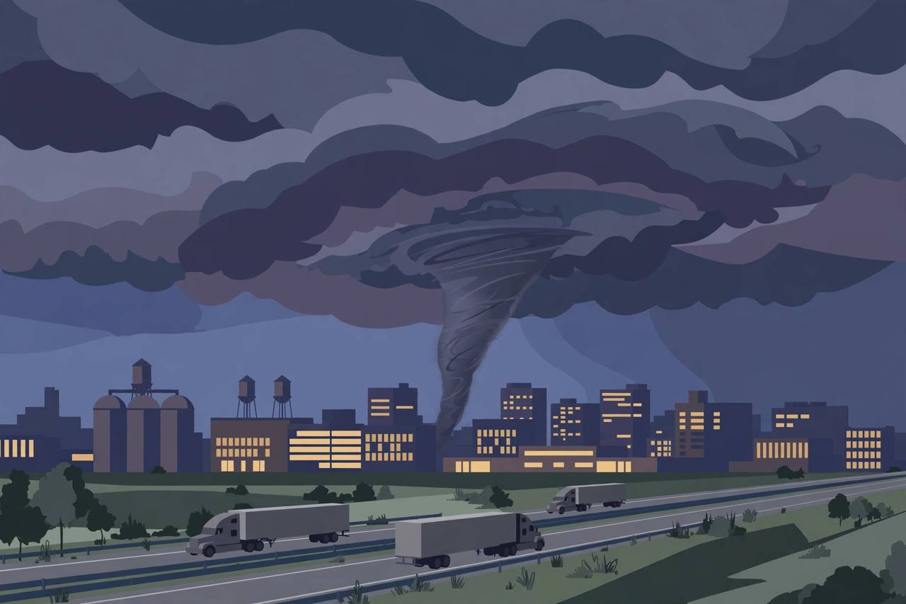
MINNEAPOLIS, Minnesota — The Twin Cities spent Wednesday evening, October 28, 2026, under one of the most serious severe-weather threats of the autumn: a Tornado Watch covering parts of Minnesota and Wisconsin until 9 p.m. Central Time, a Storm Prediction Center outlook that put Minneapolis and St. Paul in the bull's-eye for strong tornadoes, and at least one radar-indicated Tornado Warning south-east of the metro as a fast-moving storm cell tracked toward Cannon Falls and Red Wing.
Source: FOX Weather
NOAA's Storm Prediction Center (SPC) placed the Twin Cities metro area and parts of western Wisconsin under a Level 2 out of 5 risk of severe thunderstorms for Wednesday, with what forecasters described as a particular risk of tornadoes rated EF2 or stronger. FOX Weather, citing the SPC outlook and its own Forecast Center, reported that some of the strongest storms of the day were expected in the Minneapolis area, and that tornado formation would depend on whether enough humidity and daytime heating developed ahead of the storm system's arrival.
Source: FOX Weather
A live warning south-east of the metro
The threat was not theoretical. The National Weather Service office for the Twin Cities (MPX) issued a Tornado Warning at 22:05 UTC (5:05 p.m. CDT) on Wednesday covering Dakota County and Goodhue County in Minnesota and Pierce County in Wisconsin, in effect until 22:30 UTC (5:30 p.m. CDT). The warning was radar-indicated: the storm was located near latitude 44.55, longitude -92.95 and moving east-north-east at about 40 mph, on a track that put Cannon Falls and Red Wing in its path, according to the warning data and local coverage of the alert.
Source: National Weather Service via Vortex Intel
The Weather Channel's Wednesday coverage reached the same conclusion as FOX Weather: severe thunderstorms and tornadoes were possible across portions of Minnesota and Wisconsin, with the highest threat targeting the Twin Cities, and large hail and damaging winds in the mix alongside the tornado risk. Other cities inside the wider severe-weather envelope included Omaha, Nebraska, and Duluth, Minnesota.
Source: The Weather Channel
Why Wednesday's setup worried forecasters
The storm system moved out of the Rockies and into the Central Plains and Upper Midwest through the day. Forecasters tracked a pocket of strong, shifting winds in the atmosphere — the kind of wind profile that can organise thunderstorms into rotating supercells capable of producing tornadoes — provided enough humid air and daytime heating were in place ahead of the system's arrival. Outside the tornado risk, damaging wind gusts were expected to be the primary severe hazard, with large hail also possible.
Source: FOX Weather
A broader Level 1 severe-weather threat covered central and southern Minnesota, western Wisconsin and the far-western part of Michigan's Upper Peninsula, as well as a corridor across central Iowa to south-eastern Nebraska, including Omaha. FOX9 meteorologist Cody Matz walked Twin Cities viewers through the forecast as the strongest storms were expected to continue through the early evening and push on into Wisconsin.
Wednesday evening's warned area sits across the Twin Cities' main trucking corridors. Standard weather-safety guidance applies: never park under a highway overpass in a tornado, leave a vehicle for a sturdy building or a low-lying ditch if a warning is issued for your exact location, and expect sudden crosswinds, hail and blinding rain on exposed stretches until the watch expires at 9 p.m. CT.
What it means for the Twin Cities — and what happens next
For the large Punjabi and South Asian community in the Twin Cities suburbs — and for the long-haul truckers who cross Minnesota on I-35 and I-94 every evening — Wednesday's watch was the kind of alert that changes plans: school and evening activities in the warned counties faced disruption, and freight schedules through the metro ran into the early-evening storm window. A Tornado Watch means conditions are favourable for tornadoes in and close to the watch area; it is not the same as a warning, which means a tornado has been sighted or indicated by radar and shelter should be taken immediately.
What happens next is in the hands of the evening sky. The watch runs to 9 p.m. CT; further warnings can be issued with little lead time while storms continue into Wisconsin, and storm reports — hail sizes, wind damage and any confirmed tornadoes — are compiled by the National Weather Service after the event. Readers in Minnesota and western Wisconsin should keep weather alerts switched on until the watch expires and treat any new warning for their county as an instruction to shelter first and check details second.