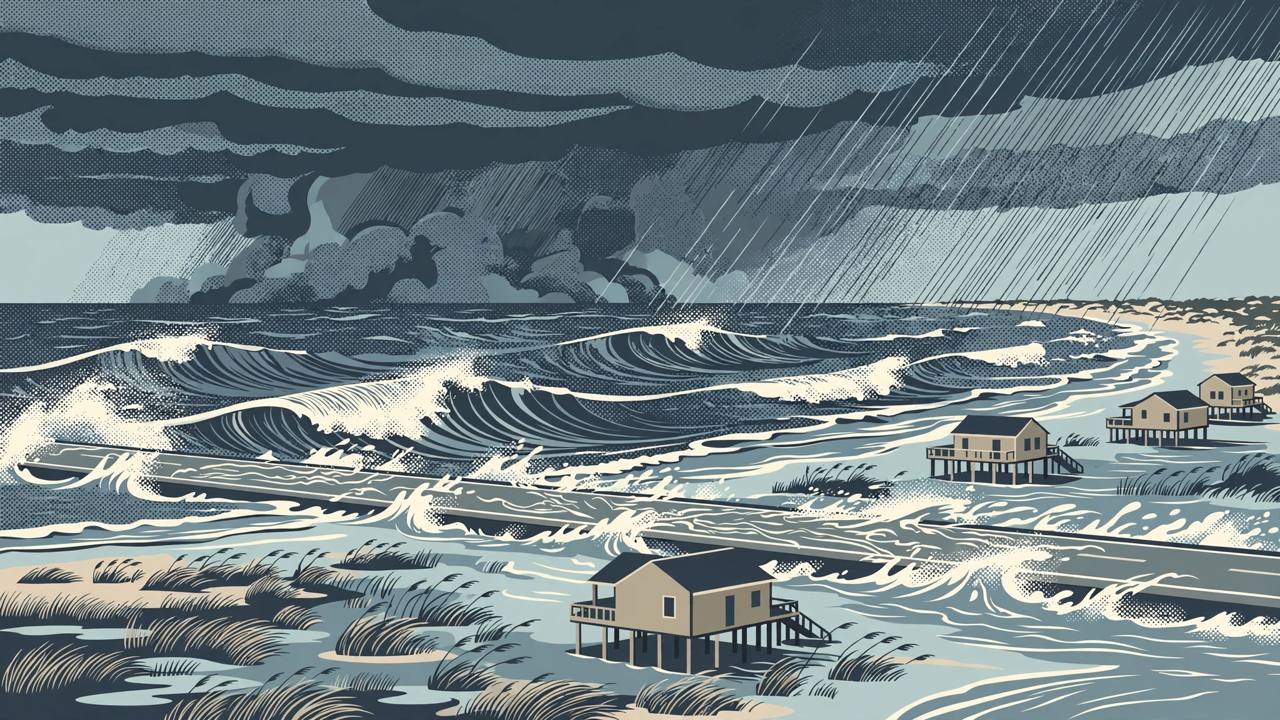
A powerful nor'easter spinning off the North Carolina coast is expected to bring coastal flooding, beach erosion, gusty winds, dangerous surf and rip currents to parts of the Mid-Atlantic and Southeast coasts through Thursday, FOX Weather reported on Tuesday, October 20, 2026. The National Hurricane Center (NHC) has tagged the storm Invest 93L, meaning it has the potential to take on subtropical or tropical characteristics, and the NHC is giving it medium odds of becoming Tropical Storm or Subtropical Storm Josephine, the next name on the Atlantic list. The system is currently forecast to remain offshore and begin to pull away from the coast by the end of the week.
The Weather Channel's weather.com, updated early on Wednesday, October 21, said the area most likely to be impacted the longest stretches from the Delmarva Peninsula to eastern North Carolina. Coastal flood alerts are in effect for parts of coastal North Carolina, where anywhere from 1 to 4 feet of inundation is possible, and high surf advisories cover the North Carolina coastline with waves potentially reaching up to 14 feet. Across parts of the Virginia, Maryland, Delaware and New Jersey coastlines, inundation of up to a foot and large waves to 10 feet are possible, river gauges from North Carolina to Maryland could rise to moderate flood stage, and high surf, coastal flooding and rip currents are expected from Florida's Atlantic beaches to New England, with significant beach erosion along the East Coast.
On the ground, a mandatory evacuation is in effect on Hatteras Island as conditions worsen, with the potential for significant ocean overwash, FOX Weather reported. Parts of North Carolina Highway 12, the primary route through the Outer Banks, are closed due to flooding. The FOX Forecast Center said prolonged wind gusts over 40 mph are the main concern for the Outer Banks, fuelling moderate coastal flooding and destructive waves, and that water levels from the Outer Banks into Chesapeake Bay and up through Ocean City, Maryland, could rise more than two feet above normal during high tide. The highest waves and greatest flooding risk come during afternoon and evening high tides, between about 3 and 7 p.m. depending on location, and the worst impacts are expected to last through late Wednesday evening and into Thursday. Few places are more exposed than Cape Hatteras, where 32 homes have collapsed into the ocean since 2020.
weather.com added that wind advisories for the Outer Banks call for gusts up to 40 mph, which could knock out power lines and delay travel, while most heavy rain is forecast to stay offshore. The low is expected to meander slowly northeast, sit off the Massachusetts coast by Thursday, and be picked up by a cold front on Friday and move quickly out to sea, with conditions improving into the weekend. Forecasters advise coastal residents — including Punjabi and other diaspora families along the East Coast trucking and travel corridors — to obey rip-current red flags, never drive through floodwater, and check local alerts before travelling, especially on low-lying coastal roads such as Highway 12. (Sources: FOX Weather, updated October 20, 2026; weather.com / The Weather Channel, updated October 21, 2026.)