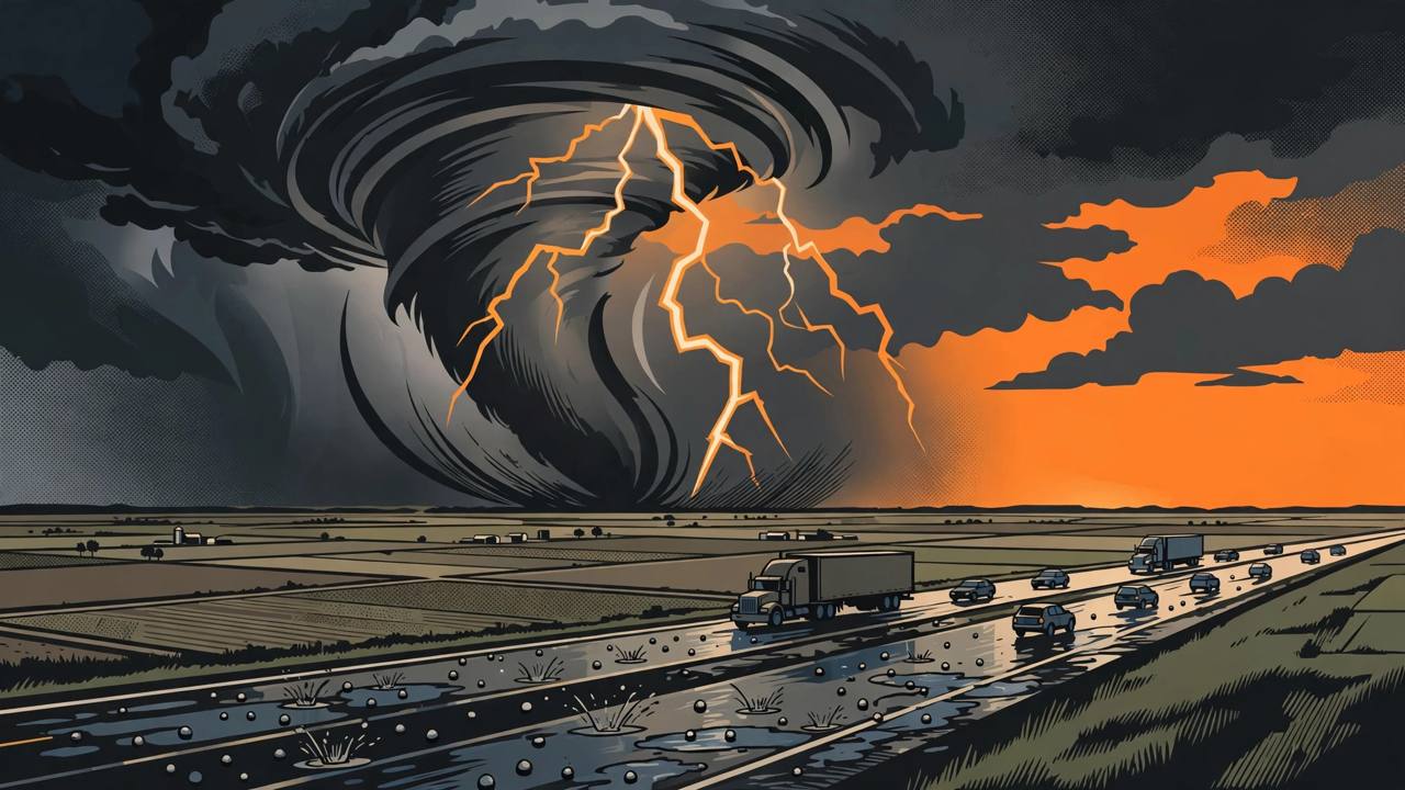
NORMAN, Oklahoma — Scattered severe thunderstorms are expected across parts of the central and southern Plains late Monday afternoon into the evening, with damaging wind gusts and a few tornadoes the main threats, the National Weather Service's Storm Prediction Center said in its Day 2 convective outlook, issued at 11:32 a.m. Central Time on Sunday from Norman, Oklahoma, and valid from 6 a.m. Monday to 6 a.m. Tuesday.
Source: NOAA Storm Prediction Center, Day 2 Convective Outlook
The Slight Risk — Level 2 on the Center's five-level scale — covers north Texas, Oklahoma and extends into Kansas and Missouri. It is the stormy edge of a cross-country system that Fox Weather says will affect more than 35 states with severe weather, heavy rain and strong winds as it crosses the continent during election week.
Source: Fox Weather
How Monday sets up
The ingredients, as the Center lays them out, are a textbook Plains severe setup. A deep upper trough over the Southwest amplifies through Monday, an 80-plus-knot subtropical jet streak races northeast from eastern New Mexico and Colorado toward the Missouri Valley, and strong ascent deepens a lee low below 1,000 millibars across Nebraska and South Dakota. A cold front trails south, while a dryline — the boundary between moist Gulf air and dry desert air — sets up roughly from central Kansas through western Oklahoma into west-central Texas. A 50–60 knot low-level jet pumps widespread surface dewpoints in the mid-60s Fahrenheit northward, and in a narrow corridor ahead of the dryline, from the Texas Panhandle into southwest Kansas and western Oklahoma, temperatures should warm into the mid-to-upper 70s after a round of morning storms passes.
Supercells first, then a dangerous line after dark
With storm energy of 1,000–1,500 joules per kilogram and 60–80 knot mid-level winds over the dryline, the Center expects a narrow zone of semi-discrete supercells late in the day — the rotating storms most capable of producing tornadoes and large hail. The most concerning signal sits farther north: ensemble guidance shows a secondary low deepening near the Kansas–Oklahoma border on Monday evening, where very strong low-level shear — 0–1 km storm-relative helicity of 300–500 m²/s² — could support, in the Center's words, "a few tornadoes (some possibly strong) and severe gusts" near the low's track into the evening and early overnight hours, even as the storms merge into a squall line with embedded circulations.
Farther north and east, across eastern Kansas and Missouri into Nebraska and Iowa, instability is more limited, but strong forcing ahead of the surging cold front should still favour a low-topped squall line capable of a few strong gusts and brief tornadoes into the overnight hours.
Timing: the Tulsa warning window
For eastern Oklahoma, the National Weather Service office in Tulsa has put the first storms as early as 1 p.m. Monday, with the most likely window from 7 p.m. to midnight and storms possibly lasting to 2 a.m. Tuesday; damaging gusts could reach about 70 mph with hail up to quarter size. Around Muskogee and far eastern Oklahoma the window runs later still, roughly 11 p.m. Monday to 4 a.m. Tuesday. The named highways in the risk area — I-44, I-40 and I-49 — are core freight routes, and the peak risk arrives after dark, when tornadoes are hardest to see and high-sided trucks are most exposed to sudden crosswind gusts.
Source: National Weather Service Tulsa timing, via Fox Weather and AccuWeather reporting
The storms fire on the last afternoon of campaigning before Tuesday's midterm elections. The same system then pushes into the Deep South on Election Day itself, bringing a damaging-wind threat to Louisiana, Mississippi, Arkansas and Alabama as polls open.
What this means for the region's drivers and diaspora readers
The I-35 corridor through Oklahoma and north Texas and the I-40 crossing at Oklahoma City carry heavy Punjabi trucker traffic between the Midwest, Texas and the West Coast. A squall line crossing those routes between 7 p.m. and 2 a.m. means drivers should plan to be parked before the line arrives rather than trying to outrun it: severe gusts arrive suddenly, hail can white-out a roadway in minutes, and the Storm Prediction Center stresses that an outlook is an area-wide risk — individual warnings, issued storm by storm, are what drivers should watch through the night.
What happens next
The Storm Prediction Center updates its outlook through Monday, and local National Weather Service offices — Norman, Tulsa, Wichita, Dodge City and Fort Worth among them — will issue severe thunderstorm and tornado warnings as individual storms form. The front then carries the severe threat into the Deep South on Tuesday and spreads heavy rain of one to two inches or more across the Midwest on Wednesday, with 40–50 mph gusts from Kansas and Nebraska to Iowa, Minnesota and Wisconsin. No widespread airport closures had been reported as of Monday morning.