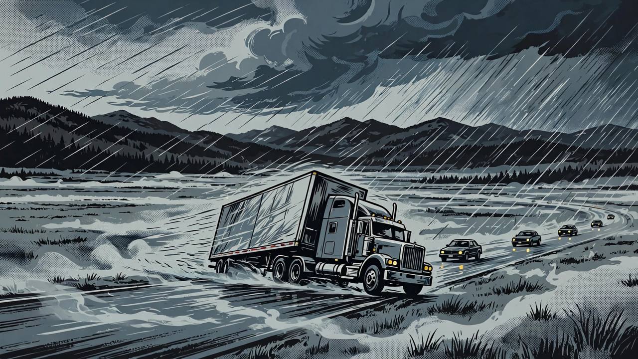
RAPID CITY, South Dakota — Western South Dakota is spending Monday under a National Weather Service high wind warning, in force from 9 a.m. Monday until 6 a.m. Tuesday, Mountain Time, with wind gusts of 60 mph or higher expected across the region and the strongest winds near and east of the Black Hills foothills, where gusts could reach about 65 mph.
Source: National Weather Service, via KOTA TV reporting
The warning zone covers a wide sweep of the west of the state: Rapid City, Spearfish, Belle Fourche, Newell, Nisland, Vale, Buffalo, Bison, Lemmon, Faith, Philip, Kadoka and Hot Springs, along with areas north of Pine Ridge toward Kyle and parts of Butte County. The Weather Channel's alert listing for Rapid City likewise showed a high wind warning running from Monday morning to early Tuesday.
Rain first, then fog on Interstate 90
The wind is only one part of the day. Rain was expected to begin as early as midnight, with heavier rainfall developing along and south of Interstate 90 as Monday got underway. Rapid City could receive more than an inch of rain, with some forecast guidance putting totals near two inches there, and more than two inches possible on the northern Black Hills slopes and parts of the western plains.
Source: KOTA Territory First Alert Weather
Before sunrise, dense fog was expected to cut visibility sharply along I-90 and other roads: forecast guidance pointed to visibility falling to about one-eighth of a mile near Wright, Wyoming, about half a mile near Philip, South Dakota, and near zero around Ekalaka, Montana, at around 4 a.m. — leaving commuters and freight traffic dealing with water on the road, crosswinds and very limited visibility at the same time.
Why truckers are the exposed group on this corridor
Interstate 90 is the main east–west freight artery across South Dakota, and sustained crosswinds with gusts above 60 mph are a recognised blow-over risk for high-profile vehicles, especially empty or lightly loaded trailers. Winds near 5,000 feet could reach about 70 mph on Monday evening before easing toward 6 a.m. Tuesday, so the most dangerous driving window runs through Monday night, not just the morning commute. Drivers crossing the state on Monday are being urged by forecasters to expect slower, less predictable travel and to check conditions before setting out.
The season's first snow, on the high ground
The same system is dragging colder air in behind the rain. In the Black Hills, the best chance of accumulating snow is at about 5,000 feet and higher, including the terrain above Deadwood, where an inch or two of snow was possible where temperatures fall far enough. Rain could mix with or change to snow in northeastern Wyoming, around Gillette, Wright, Sundance and Sheridan. AccuWeather senior meteorologist Bob Smerbeck said several inches of snow could fall over the Black Hills, with a slushy accumulation possible in Rapid City itself on Monday.
Source: AccuWeather winter storm forecast
KOTA Territory's First Alert Weather Team declared Monday, November 2 a First Alert Weather Day for western South Dakota — its label for a day when weather is expected to disrupt normal travel and routines across the region.
One storm, half a continent
This is not a local squall. The high winds are the northern edge of the same cross-country storm system whose deepening lee low over Nebraska and South Dakota is also driving Monday's severe-thunderstorm risk across Kansas, Oklahoma and north Texas. Across the northern Plains, strong pressure gradients behind the system are what drive the damaging downslope winds off the Black Hills foothills — a recurring pattern in the fall and early winter, but rarely this organised this early in November.
What happens next
The warning runs until 6 a.m. Tuesday, with winds easing through Tuesday morning and conditions improving for Election Day travel. Until then, residents are advised to secure loose outdoor objects, expect possible power interruptions from downed limbs and lines, and use caution if they must drive — particularly in high-profile vehicles on exposed stretches of I-90 and the western plains highways. The National Weather Service office in Rapid City will update the warning as the strongest band of wind moves through.