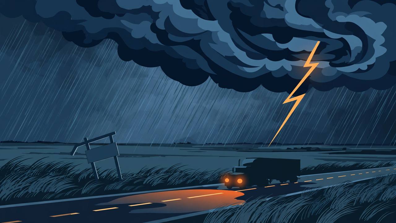
AMARILLO, Texas — The National Weather Service office in Amarillo issued Tornado Watch 700 at 8:20 p.m. CST on Sunday, November 1, putting 13 counties in the Texas Panhandle and 2 counties in the Oklahoma Panhandle under a tornado watch until 2 a.m. CST on Monday, November 2. A fast-moving squall line of severe thunderstorms that formed over eastern New Mexico is racing east-northeast into the Panhandles overnight, and the watch means conditions are favourable for brief tornadoes, damaging winds and large hail to develop with little warning.
Source: National Weather Service, Amarillo (watch text via KGNC News)
The timing is what makes this watch dangerous. Texas Storm Chasers, which is running live overnight coverage, puts the main storm window between about 10 p.m. and 4 a.m. Central: the western Panhandle and the New Mexico line first, roughly 10 p.m. to midnight, then Amarillo and the Interstate 40 corridor around midnight to 1 a.m., with the storms pushing into Oklahoma by sunrise. Amarillo was already reporting showers in the vicinity late Sunday night, with south winds gusting past 60 km/h (about 40 mph) ahead of the line.
In Texas, the watch covers Carson, Dallam, Deaf Smith, Hansford, Hartley, Hutchinson, Moore, Ochiltree, Oldham, Potter, Randall, Roberts and Sherman counties; in Oklahoma it covers Cimarron and Texas counties. The cities named in the watch include Amarillo, Canyon, Dalhart, Dumas, Borger, Hereford, Perryton, Stratford, Vega and White Deer in Texas, and Boise City and Guymon in Oklahoma. Potter and Randall counties — the Amarillo metro — sit near the centre of the watch box.
Why tonight is dangerous: the storms arrive while people sleep
The Amarillo weather service warned in its Sunday outlook of a risk of nocturnal severe weather: a squall line, possibly with a few supercells running ahead of it, carrying all three hazards — tornadoes, damaging winds and large hail. Texas Storm Chasers notes the tornado threat tonight is mainly brief spin-ups embedded inside the line of storms rather than long-track supercells. Those spin-ups are hard to see at night and are often wrapped in rain, which is why forecasters are urging people across the Panhandles to have a way of receiving warnings that will wake them up, and to move to an interior room on the lowest floor, away from windows, the moment a tornado warning is issued for their location.
The Storm Prediction Center's Sunday outlook placed parts of central and eastern New Mexico and the Texas and Oklahoma Panhandles under a slight risk of severe thunderstorms, with a 5 percent tornado probability and a 15 percent damaging-wind probability in the most exposed areas. Having this much moisture this far west in early November is unusual, Texas Storm Chasers notes — the setup is rare for the month, even though forecasters do not expect a repeat of the long-track tornado outbreak of November 16, 2015.
Texas Storm Chasers warns that gusts of 60 to 75 mph in the line can snap trees, bring down power lines and shove high-profile vehicles around on Interstate 40 and Interstate 27, and on US-87 and US-287 through the Panhandle. Drivers crossing the Panhandle overnight should follow National Weather Service Amarillo warnings closely, consider parking a high-profile rig until the line passes, and never stop under a highway overpass in a tornado warning — seek a sturdy building instead.
Part of a cross-country storm — and Monday brings a second round
Tonight's Panhandle storms are the leading edge of the large cross-country storm system Awaaz Punjab has been covering since the weekend — the same system that has flooded parts of Arizona, Utah and Colorado, forced evacuations around Sedona and Pagosa Springs, and closed highways in the Four Corners. As the system pushes east of the Rockies on Monday behind a strengthening low and an advancing cold front, FOX Weather reports the severe threat renews rather than ends.
For Monday afternoon and evening, the Storm Prediction Center has issued a Level 2 out of 5 severe storm risk across parts of south-central and eastern Kansas, western and central Oklahoma and north Texas, where a cold front and dryline will push through warm, humid air, according to FOX Weather. Those storms could produce large hail, damaging wind gusts and a few tornadoes before merging into a line that moves east across Oklahoma, Kansas and north Texas by Monday evening and into the overnight hours. Separately, Texas Storm Chasers expects scattered storms to fire after about 2 p.m. Monday in the Concho Valley, the Big Country, Northwest Texas and Texoma.
The rain risk is just as wide. The Weather Prediction Center puts almost 48 million people across parts of at least 17 states at a marginal to slight risk — levels one and two out of four — of excessive rainfall capable of causing flash flooding on Monday into early Tuesday, while the Storm Prediction Center puts more than 21 million people across parts of at least seven states at a marginal to slight severe-storm risk on Monday, with damaging winds and large hail the most likely hazards and a few tornadoes not ruled out.
What happens next: the watch itself expires at 2 a.m. CST, but individual tornado and severe thunderstorm warnings from the National Weather Service offices in Amarillo and Lubbock govern county by county overnight — a warning, unlike a watch, means a dangerous storm has been seen or indicated by radar and people in its path should shelter immediately. The storms are expected to move into Oklahoma by sunrise and quiet down, though strong west winds gusting near 45 mph will follow across the Panhandle and South Plains on Monday. As of this report, no confirmed tornado touchdown or storm damage in the Panhandle had been reported in the sources reviewed; the next verified update will come from the Amarillo weather service's storm reports on Monday morning.