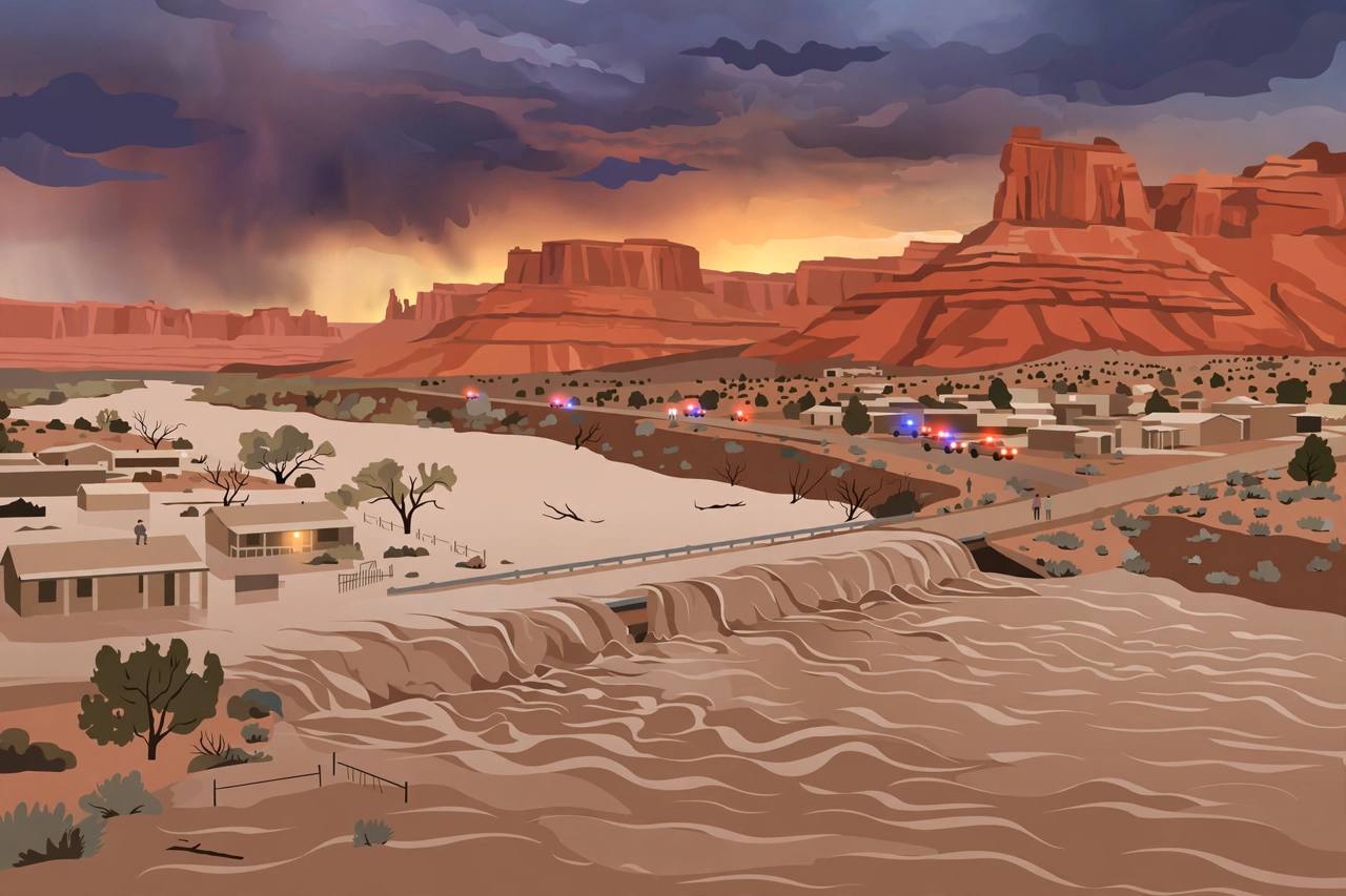
The San Juan River in southeastern Utah is forecast to crest at 29.5 feet near Bluff early on Monday morning, the National Weather Service in Grand Junction said in a flood statement issued at 2:07 p.m. MDT on Sunday, October 25. Flood stage at Bluff is 23 feet, and the river was already at 20 feet at 2:04 p.m. on Sunday.
Source: National Weather Service Grand Junction
The weather service described catastrophic flooding caused by excessive rainfall along the San Juan River between Four Corners and Mexican Hat as an emergency situation. Its flood warning for western Montezuma County in Colorado and southern San Juan County in Utah remains in effect until 6 a.m. MDT on Tuesday.
The crest is expected around Aneth, Montezuma Creek and Bluff on Sunday afternoon and evening, the Grand Junction office said. Places expected to experience flooding also include Mexican Hat, Tselakai Dezza and Halchita. The office noted that this crest compares with a previous crest of 32.0 feet on September 10, 1927, and said no additional rainfall is expected while flood impacts continue.
A separate flood statement from the National Weather Service in Salt Lake City, issued at 1:21 p.m. MDT on Sunday, said moderate flooding continues in southwestern San Juan County and eastern Kane County, low-water crossings will be inundated and may not be passable, and flooding will continue downstream from Bluff to Lake Powell through at least Tuesday morning.
Source: National Weather Service Salt Lake City
Bluff officials had already warned residents on Saturday to be ready to evacuate, especially in low-lying homes south of Highway 191, and to prepare 72-hour kits, according to a report of the town's preparedness call. The weather service urged people not to drive through flooded roads, saying most flood deaths occur in vehicles.