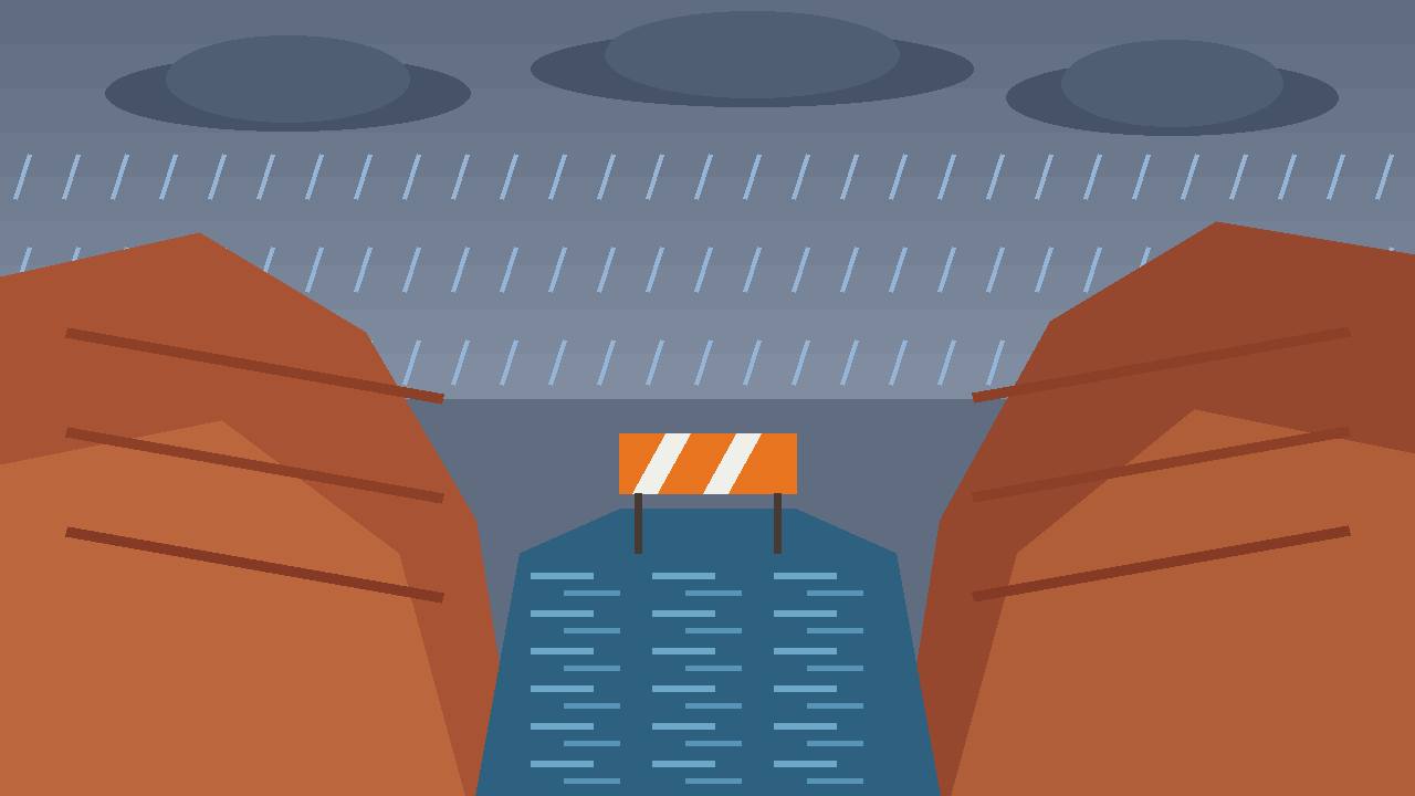
SPRINGDALE, Utah — There is no hiking The Narrows today. The National Park Service has closed The Narrows and every slot canyon in Zion National Park until further notice as a public safety closure, and on Sunday morning the National Weather Service turned the threat into a warning: flooding of slot canyons, dry washes and creeks around Zion is, in the service's words, imminent or occurring.
Source: National Park Service — Zion Current Conditions
The National Weather Service in Salt Lake City issued the flood warning at 4:23 a.m. MST on Sunday, November 1, running until 10:30 a.m. MST, for east central Washington County and west central Kane County in southern Utah, including Zion National Park and the gateway towns of Springdale and Rockville. The trigger was the river itself: the gauge on the North Fork of the Virgin River rose sharply to 700 cubic feet per second in 30 minutes, the warning summary reported.
Source: Storm Recovery Hub — NWS warning summary, Nov. 1, 2026
The park moved first: every canyon closed until further notice
The Park Service posted the closure on October 30, ahead of the storm, citing the forecasted hazardous weather about to impact the park. It is a blanket closure — The Narrows and all canyons in the park — and it has no end date: it stays in place until further notice, the NPS conditions page says.
Source: National Park Service — Zion Current Conditions
The closure follows the park's standing safety rule. The Narrows — the famous hike that follows the Virgin River upstream through a gorge with walls up to a thousand feet tall and, in places, only 20 to 30 feet of riverbed between them — closes whenever the river's flow rate passes 150 cubic feet per second, and whenever the National Weather Service issues a flash flood warning, the Park Service explains on the same page. Sunday morning's 700 cubic feet per second is more than four and a half times that threshold, and the service directs visitors to check the U.S. Geological Survey's real-time flow readings before planning any river hike.
A flood watch sits over the whole of southern Utah until tonight
Behind the morning warning sits a much wider flood watch, issued by the National Weather Service in Salt Lake City on October 31 at 2:11 p.m. MDT and running until 11 p.m. MST Sunday. It covers a large portion of Utah — Castle Country, the San Rafael Swell, Bryce Canyon Country, Capitol Reef National Park and vicinity, the Glen Canyon Recreation Area and Lake Powell, south central Utah, the Southern Mountains, Western Canyonlands, Lower Washington County and Zion National Park.
Source: National Park Service — Zion Current Conditions (NWS watch text)
In the watch, forecasters warn that excessive runoff may flood rivers, creeks, streams, dry washes, slot canyons and other low-lying and flood-prone places such as slickrock areas and recent burn scars, and that backcountry roads will likely become impassable. People living in flood-prone areas should be prepared to act if flooding develops, the service said.
Why this rain is so dangerous: saturated ground and a 'pineapple express'
This is not the first rain on dry ground. A moisture plume weather forecasters call a pineapple express — an atmospheric river drawing tropical moisture from near Hawaii — is soaking the Desert Southwest and Southern California over the Halloween weekend, just over a week after destructive flooding plagued parts of Arizona, Nevada, New Mexico and Utah, The Weather Channel reported on Sunday. The ground in southern Utah is still saturated from the 2 to 5 inches of rain that fell last week, so new rain runs off fast instead of soaking in.
Source: The Weather Channel, Nov. 1, 2026
That is exactly the setup that makes slot canyons lethal. Rain falling miles upstream — sometimes under skies that look clear at the canyon itself — can send a wall of water through a slot with no escape route. Forecasters expected rain through Sunday in the Zion area, with on the order of 20 millimetres (about four-fifths of an inch) through the day, before conditions ease on Monday.
Never walk, swim or drive through floodwater: Ready.gov warns that just six inches of moving water can knock a person down and one foot of moving water can sweep a vehicle away. Stay out of slot canyons and dry washes until the Park Service lifts the closure, stay off bridges over fast-moving water, and call 911 in an emergency.
What it means for Springdale, Rockville and park visitors
For the gateway town of Springdale, at the park's south entrance, and for Rockville, downstream on the Virgin River, Sunday is a day of watching the river rather than entering it. The Park Service directs anyone checking Utah roads beyond the park to the UDOT Traffic service or to call 866-511-8824. A separate standing alert on the park's conditions page also warns of toxic cyanobacteria in Zion's rivers, streams and pools: visitors should not submerge their heads in, or drink, stream water in the park.
Source: National Park Service — Zion Current Conditions
What happens next
The flood warning itself expires at 10:30 a.m. MST Sunday, but the flood watch continues until 11 p.m. MST Sunday evening, and the canyon closure has no expiry at all — The Narrows and the slot canyons reopen only when the Park Service lifts the closure, which depends on the Virgin River falling back and conditions being judged safe. Anyone with a Zion trip in the coming days should check the NPS conditions page and the real-time USGS river gauge before travelling, and should expect the closure to outlast the rain itself, because high water takes time to drain out of the canyon system.
What is solid
- The closure of The Narrows and all slot canyons until further notice is posted by the National Park Service on its Zion conditions page, dated October 30.
- The flood warning's timing (4:23 a.m. to 10:30 a.m. MST, Sunday), its area (including Zion, Springdale and Rockville) and the 700 cfs North Fork Virgin River reading are from the National Weather Service warning as summarised by Storm Recovery Hub, and the warning is independently listed on weather.com's Washington County alert feed.
- The 150 cfs automatic-closure rule for The Narrows is stated by the National Park Service itself.
What is only claimed
- No injuries, rescues or property damage in Zion from this storm had been reported in the sources checked at publication time — the closure is preventive, and the situation can change as Sunday's rain continues.