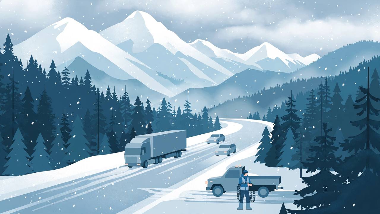
Winter has arrived early in the Cascade mountains. The National Weather Service in Portland has winter weather advisories in force through Wednesday night for the Cascades of Washington and Oregon, with snow showers continuing into the evening before tapering off overnight — and a second, stronger storm behind it is forecast to bring up to 14 inches of snow to favoured western resorts before Halloween.
Source: National Weather Service Portland via Autoblog
The northern advisory covers the North Oregon Cascades and the South Washington Cascades and runs until 2 a.m. Eastern on Thursday. It calls for 1 to 3 inches of snow above 4,500 feet, with 3 to 6 inches above 6,000 feet. Inside the zone are Government Camp, Bennett Pass, Timothy Lake, Lost Lake, Larch Mountain, Mount St. Helens and the Indian Heaven Wilderness.
Source: National Weather Service Portland via Autoblog
Farther south, the Cascades of Marion, Linn and Lane counties in Oregon are under a shorter advisory ending at 8 p.m. Eastern on Wednesday, with a trace to 3 inches expected above 4,500 feet and the most snow in the Marion and Linn County Cascades. That zone covers Santiam Pass, Santiam Junction, McKenzie Pass, Willamette Pass, Tombstone Summit, Breitenbush Springs and Waldo Lake. In both zones, forecasters warn that roads — and especially bridges and overpasses — will likely become slick and hazardous.
Source: National Weather Service Portland via Autoblog
A stronger, slower-moving second storm
This is the second winter storm of the week for the western mountains, and forecasters describe it as the stronger one. According to OpenSnow meteorologist Alan Smith, the stronger storm arrived Tuesday night, October 27, bringing heavy mountain snow and colder temperatures that could push the snow line down to several ski resort bases. Smith describes the system as “stronger and slower-moving,” with “heavy snow developing across British Columbia and the Washington Cascades on Tuesday night.”
Source: Men's Journal / OpenSnow
Over five days, the forecast calls for 6 to 14 inches across favoured ski resorts in the Cascades, British Columbia and the Northern Rockies — not across entire states. OpenSnow specifically identifies Schweitzer Mountain in Idaho and Whitefish Mountain Resort in Montana among the areas positioned for accumulating snow, as the storm moves through Washington's Cascades and northern Oregon on Wednesday, October 28, and heavier snowfall develops farther inland.
Source: Men's Journal / OpenSnow
The important distinction is elevation. Mountain resorts and high passes could receive substantial accumulation while nearby lower-elevation communities — including the Seattle, Tacoma and Portland metro areas at the foot of the range — experience rain or considerably less snow. Drivers crossing the range, however, climb straight into the advisory zone, which is why a rainy valley departure can end in a chain-up area an hour later.
Source: Men's Journal / OpenSnow
Oregon's chain rules — and the $800 fine
On the Oregon passes inside the advisories, the state's chain and traction-tire rules apply, and Oregon posts its requirements on signs at the snow zones where the wording matters. According to the Oregon Department of Transportation, a “Carry chains or traction tires” sign means the equipment has to be in the vehicle, while “Chains required, traction tires allowed on vehicles under 10,000 GVW” means passenger cars may keep going on traction tires instead of chains, as long as they are not towing. When chains do go on a car or light truck, ODOT requires them on one tire on each side of the primary drive axle.
Source: National Weather Service Portland via Autoblog
Ignoring a sign that only requires carrying the equipment is a Class C traffic violation in Oregon. Failing to use chains or traction tires when the sign requires them can bring a specific fine of $800. A tire qualifies as a traction tire when it carries the three-peaked mountain and snowflake symbol on the sidewall, and studded tires count as well — but studs stay illegal in Oregon until November 1, so for this storm a tire has to earn its rating without them.
Source: National Weather Service Portland via Autoblog
All-wheel-drive and four-wheel-drive vehicles get an exemption from chain requirements in most winter conditions, but ODOT attaches conditions: the vehicle must power both axles, weigh no more than 6,500 pounds unloaded, wear mud and snow, all-weather radial or traction tires on all four wheels, not be towing, and still carry chains. A crossover on summer tires with no chains in the cargo area does not meet the exemption. During a conditional road closure, ODOT can extend chain requirements to AWD and 4WD vehicles as well.
Source: National Weather Service Portland via Autoblog
Portland's advisories send drivers to TripCheck or 511 for current Oregon road conditions and chain restrictions, and to the Washington State Department of Transportation real-time map for the Washington side of the zone. Check conditions before leaving the valley — not at the chain-up area.
What this means for truckers and pass traffic
The Cascades are the freight spine between the Pacific Northwest ports and the interior, and early-season snow is the most dangerous kind for drivers who are still on summer routines: no chains carried, no winter tires fitted, and dispatch schedules built for dry roads. The advisories cover exactly the passes those schedules run over — Santiam, McKenzie and Willamette in Oregon, and the South Washington Cascades routes — and the slick-bridge warning applies even where snow totals stay light.
What happens next
Snow showers are expected to taper off overnight Wednesday into Thursday in the advisory zones. The break may be short: OpenSnow expects the storm track to shift toward California and the Southwest beginning Friday, October 30, with another system potentially bringing mountain snow to the Sierra Nevada and the Southern and Central Rockies, and the extended outlook highlights above-average precipitation, colder temperatures and mountain snowfall from Halloween into early November. Central and Eastern North America, by contrast, are expected to remain comparatively warmer and drier. Travellers heading into mountain passes should keep monitoring local forecasts as temperatures fall and precipitation changes from rain to snow.