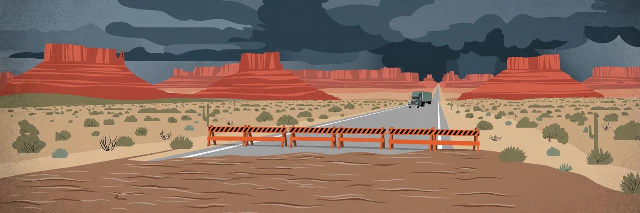
MOAB, Utah — Flooding has shut down about 49 miles of U.S. Highway 191 between Moab and Monticello in southeastern Utah, after the Utah Department of Transportation (UDOT) confirmed on Sunday evening, November 1, that the highway is closed in both directions between mileposts 72 and 121 because floodwater is over and around the roadway.
UDOT's closure notice, updated at 5:22 p.m. Mountain Standard Time on Sunday, directs motorists to delay travel or use alternate routes, and the closure was still listed on the department's public alert system on Sunday evening. Grand County had earlier issued an emergency notification identifying the same closure, between the Old Spanish Trail Arena south of Moab and Monticello. Local reporting also documented flooding and debris near milepost 77, close to Monticello's airport.
A 'particularly dangerous situation' warning
The shutdown came as the National Weather Service office in Grand Junction issued a major flood warning at 4:08 p.m. on Sunday for southern San Juan County in Utah and several counties in southwestern Colorado, and explicitly described the conditions as a 'PARTICULARLY DANGEROUS SITUATION.' The weather service reported that some roads in the warned area had already washed out or collapsed, and that multiple roads were impassable.
The warning covers southern San Juan County in Utah along with Archuleta, Dolores, La Plata, Montezuma and San Miguel counties in Colorado. Meteorologists said between 1.5 and 3 inches of rain had fallen across portions of the warned area by about 4 p.m. on Sunday, significant flooding was already occurring when the warning was issued, and additional rainfall was expected to continue into Monday. The warning remains in effect until 4:15 p.m. Mountain Standard Time on Monday, November 2.
Why the ground could not take more rain
The November 1 flooding follows an exceptionally wet October in southeastern Utah, which left the ground saturated before this storm arrived. Local reporting based on weather observation records put Monticello's October precipitation at about 8.69 inches, above previous October totals recorded at the community's historical weather stations, with 4.6 inches recorded at Arches National Park headquarters and 5.02 inches at Bluff. Saturated ground cannot absorb new rain as readily, so water runs off quickly into normally dry washes, creeks and low-lying roadways — a particular danger in canyon country, where drainage channels can fill very fast and debris can block storm drains and roadside ditches.
A second closure near Bluff
U.S. 191 is not the only road cut. UDOT also lists State Route 162 near Bluff as closed in both directions between mileposts 0 and 2, at its junction with U.S. 191, because of flooding. That restriction was first reported on October 31 and was still on the department's public alert list on Sunday evening, further complicating travel through the southern part of San Juan County.
What this means for truckers and travellers
U.S. Highway 191 is the main north-south route through southeastern Utah, connecting Moab, Monticello, Blanding and Bluff, and it carries commercial freight, local deliveries, agricultural traffic and passenger vehicles through country where alternate paved highways can add substantial travel time. UDOT has given no confirmed reopening time. Drivers are warned not to assume that a navigation app showing U.S. 191 as a through route means the highway is passable, and commercial operators are advised to check that any alternate route is open and suitable for their vehicle's weight and dimensions before setting out. No verified count of stranded trucks or delayed freight was available on Sunday evening, and officials have not published an estimate of the disruption's cost.
The National Weather Service warns motorists to turn around when they meet flooded roads and to take extra care after dark, when washed-out pavement and fast-moving water are hard to see. Moving water can undermine a road and hide structural damage beneath the surface, and a heavy truck's weight does not protect it if the pavement or shoulder has been compromised.
The same storm system is flooding communities beyond Utah. The Associated Press reported on Sunday that flooding had prompted mandatory evacuations in communities across Arizona and Colorado, including around Pagosa Springs, where officials warned of potentially catastrophic flooding as the San Juan River kept rising, with further flooding reported around Sedona and Flagstaff in Arizona.
Awaaz Punjab is covering the Colorado side of this storm separately, where the San Juan River at Pagosa Springs was forecast to crest above its 1911 record. Read the Pagosa Springs flood report
What happens next
The flood warning runs until 4:15 p.m. Mountain Standard Time on Monday, and reopening U.S. 191 will depend on inspections, debris removal and any repairs once the water recedes — not simply on the rain stopping, because the precise extent of damage along the closed stretch has not yet been established. UDOT's official traveller information service remains the authoritative source for the closure, and anyone driving through Utah, Arizona, Colorado or New Mexico on Monday should check current conditions with the relevant state transportation agency before travelling.