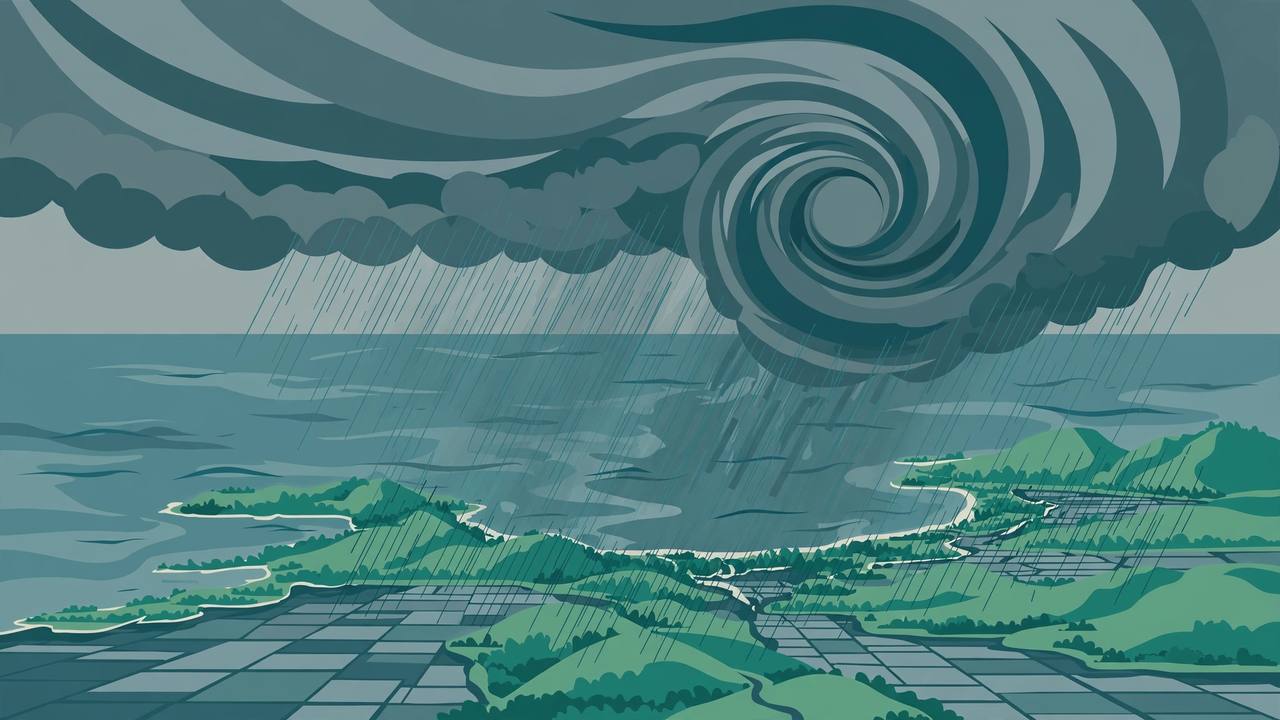
MANILA — Typhoon Cempaka entered the Philippine Area of Responsibility (PAR) on Monday morning, November 9, where it takes the local name Samuel, the Philippine Atmospheric, Geophysical and Astronomical Services Administration (PAGASA) said. It is the country's 19th tropical cyclone of the year — and, on the current forecast, one that will brush past without touching land.
Source: PAGASA via BusinessWorld, Nov 9 2026
In its 5:00 a.m. briefing on Monday, PAGASA put Cempaka 1,440 kilometres east-northeast of extreme northern Luzon, carrying maximum sustained winds of 120 kilometres per hour and gusts of up to 150 kph, moving west-northwestward. “This typhoon is not expected to affect or make landfall in any part of the country,” PAGASA weather specialist Aldczar D. Aurelio said.
Source: PAGASA via BusinessWorld, Nov 9 2026
By 10:00 a.m., PAGASA's Tropical Cyclone Bulletin No. 1 placed the centre about 1,370 kilometres east-northeast of extreme northern Luzon. No Tropical Cyclone Wind Signal was in effect anywhere in the Philippines. The typhoon is forecast to turn north-northeastward and exit PAR through its northeastern boundary between Monday night and early Tuesday, weakening to a severe tropical storm far out over the Philippine Sea by Wednesday evening.
Source: PAGASA Bulletin No. 1 via Kuryente News, Nov 9 2026
The real weather risk this week is the monsoon, not the typhoon
While Cempaka stays offshore, the northeast monsoon is bringing the week's actual rain to Luzon. PAGASA said monsoon rains are expected over Cagayan, Isabela, Quirino, Apayao, Kalinga, Mountain Province, Ifugao, Aurora and Quezon, and warned of possible flooding and landslides in those areas from moderate to occasionally heavy rain. Isolated light rains from the monsoon are also expected over Metro Manila, the Ilocos Region, the rest of the Cordillera and Cagayan Valley, Central Luzon and CALABARZON.
Source: PAGASA via BusinessWorld, Nov 9 2026
PAGASA's earlier advisories on Sunday had already charted Cempaka's brief pass: entry on Monday morning, a short stay inside the monitoring area, then a curve away to the north-northeast — remaining entirely over the open Philippine Sea, far from any inhabited area, with no wind signals raised. For a country that measures its year in storms, a typhoon-strength system passing at a distance is the good outcome; the flood watch now sits with the monsoon-soaked provinces of northern and central Luzon, where saturated ground raises the landslide risk even without a landfall.
Source: PAGASA advisories, Nov 8 2026
What is solid
- PAGASA: Cempaka entered PAR on Monday morning and takes the local name Samuel; at 5 a.m. it was 1,440 km east-northeast of extreme northern Luzon with 120 kph sustained winds and 150 kph gusts.
- PAGASA: the typhoon is not expected to make landfall or directly affect any part of the Philippines; no wind signal was raised anywhere, and it is forecast to exit PAR by Monday night or early Tuesday.
- PAGASA: the northeast monsoon will bring rain over nine named Luzon provinces, with possible flooding and landslides from moderate to occasionally heavy rain.
What is only claimed
- Forecast tracks can still shift: PAGASA's no-landfall assessment is a forecast, not a guarantee, and the agency continues to issue bulletins while the system is inside PAR.
PAGASA will keep issuing bulletins until Samuel leaves the Philippine monitoring area, expected between Monday night and early Tuesday. The practical watch is the monsoon: residents in Cagayan, Isabela, Quirino, Apayao, Kalinga, Mountain Province, Ifugao, Aurora and Quezon should follow local flood and landslide advisories through the week.