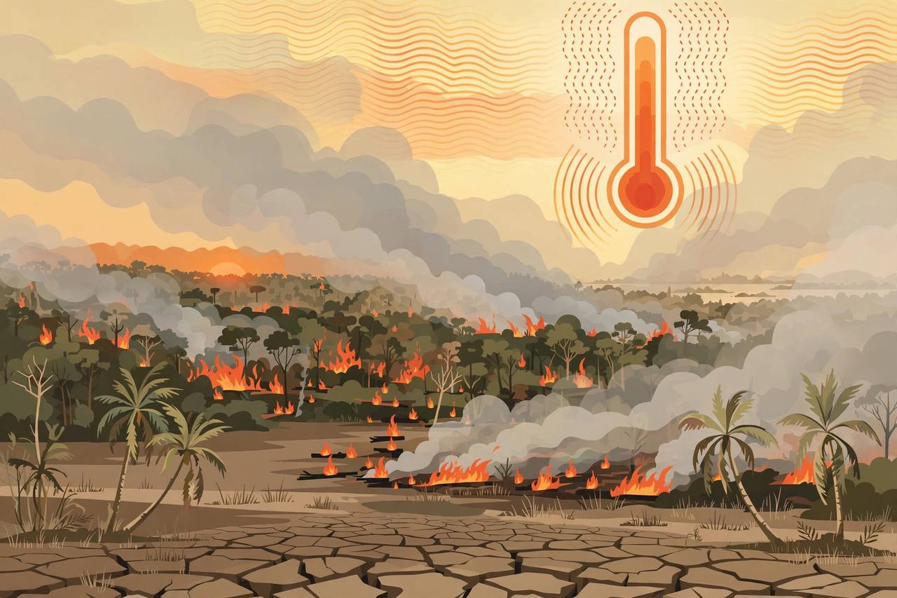
Wildfires that hit large parts of Indonesia from August to October and plunged much of Southeast Asia into hazardous smoke were made much worse by record-breaking heat caused by human-induced climate change, scientists said on Friday, November 13, in a report by the climate research group World Weather Attribution.
Source: Reuters, Nov 12, 2026
A very strong El Niño was the dominant factor behind the extremely low rainfall across Indonesia from July, reducing seasonal rainfall by about half, Agence France-Presse reported from the same study. But the researchers found that seasonal temperatures from August to October were dominated by climate change, primarily from the burning of fossil fuels, which made the seasonal heat about 1.6 degrees Celsius hotter, and that human-induced warming made the fire-prone atmospheric conditions about three times more likely as well as more intense.
Source: AFP, Nov 12, 2026
Heat that would not have happened without climate change
"The conditions that we saw this year would simply just not have happened in a world without the human contribution to climate change, even with the very strong El Niño that we're seeing," said Theodore Keeping, a researcher into wildfires and extreme weather at Imperial College London who contributed to the report, Reuters reported. "You have multiple different drivers changing in different ways, but what we can say with very high confidence is that the driving weather conditions of these fires are getting more severe," he told a briefing.
Pramudhian Firdaus, a wildfire researcher at Melbourne University, said September 2026 was Indonesia's fifth-driest September since 1991, with rainfall below normal levels across 84 percent of the country, Reuters reported.
Nearly a million more hectares burned in October alone
According to data released on Thursday by the independent geo-monitoring platform Nusantara Atlas, almost 2.88 million hectares of Indonesian territory was affected by fire from January to October 2026, rising nearly 1 million hectares in October alone, Reuters reported. AFP, citing the same monitor, put the burned area at 2.88 million hectares, or 7.1 million acres — 18 times the size of London. The amount of fire-damaged land in the first three quarters of this year was 35 percent higher than in the same period of 2019, the last year Indonesia faced strong super-El Niño conditions, Nusantara Atlas said.
Decades of land-use change also compounded this year's outbreaks. Extensive deforestation and the draining of flammable peatland to make way for industry and agriculture, mining and logging have transformed the landscape, both wires reported. "Indonesian landscapes have changed dramatically over the last 30 years, with extensive peatland drainage and deforestation creating a landscape that is extremely vulnerable to ignition," Firdaus said.
The human cost reached well beyond the burn zone. Smoke from the wildfires made hundreds of thousands of people ill in Indonesia from breathing toxic haze and exposed many more in neighbouring countries to dangerously high air pollution levels, AFP reported — the latest episode in the cross-border haze crises that have repeatedly strained relations across Southeast Asia in severe fire years.
The Indonesian government has not confirmed or rejected the Nusantara Atlas figure and has not released its own estimate of the area burnt since July, AFP reported. Indonesia experiences fires every dry season, but researchers said this year's blazes were particularly severe — and that both emissions reductions and sustained forest and peatland protection are important to reducing future risk.
What is solid
- A World Weather Attribution study released Friday found a very strong El Niño was the dominant factor in Indonesia's extremely low rainfall from July, while human-induced climate change added about 1.6°C of heat in August-October and made fire-prone conditions about three times more likely (Reuters; AFP).
- September 2026 was Indonesia's fifth-driest September since 1991, with below-normal rainfall across 84 percent of the country (researcher Pramudhian Firdaus, via Reuters).
- Nusantara Atlas data released Thursday put the area affected by fire from January to October 2026 at almost 2.88 million hectares, rising nearly 1 million hectares in October alone (Reuters; AFP).
What is only claimed
- The 2.88-million-hectare total is Nusantara Atlas's figure: the Indonesian government has not confirmed or rejected it and has released no official estimate of area burnt since July (AFP).