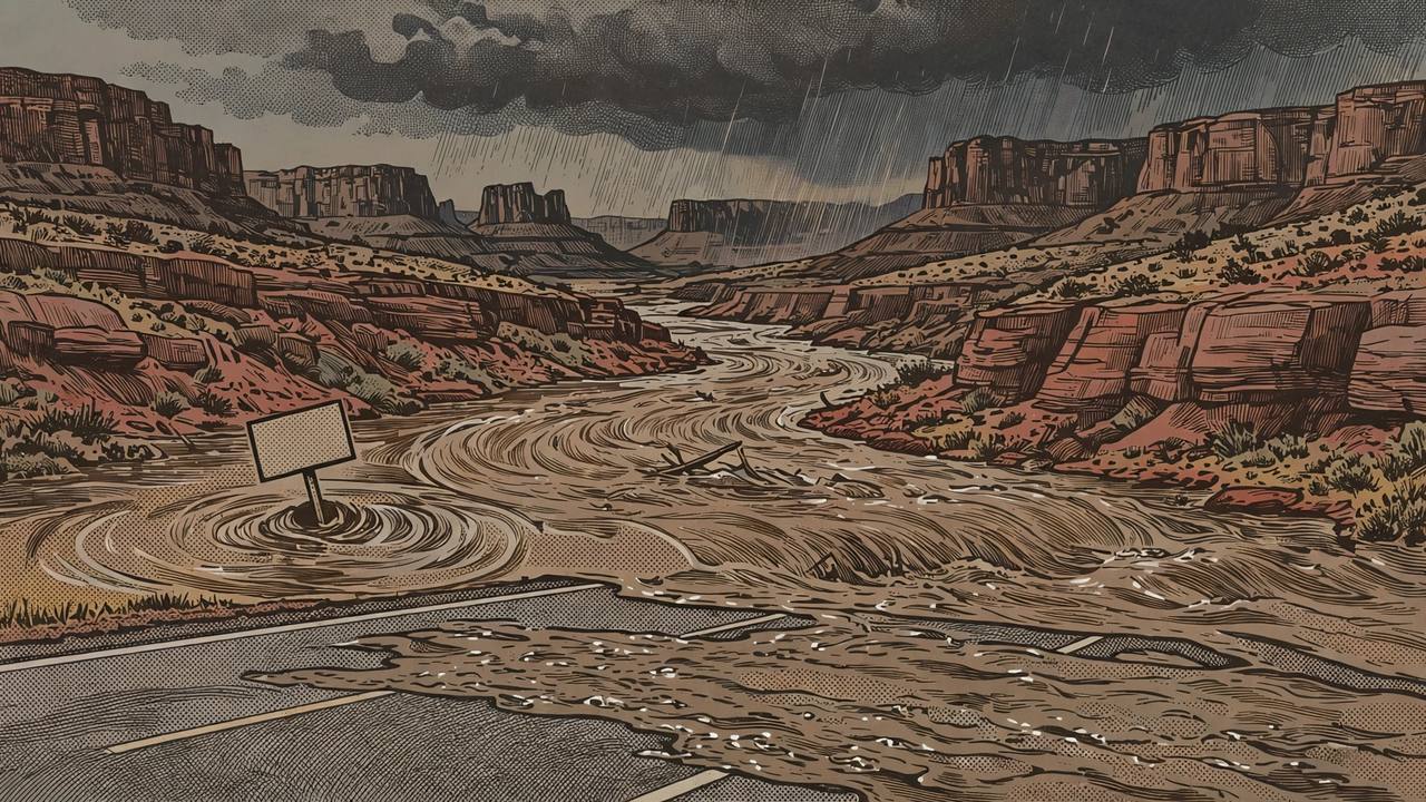
A new round of flooding is threatening northern Arizona tonight, in the same saturated country where a week of storms has already torn up a canyon highway and forced evacuations. The National Weather Service in Flagstaff issued a Flash Flood Warning at 5:22 p.m. MST on Friday, November 6, for Coconino County in north central Arizona and Yavapai County in west central Arizona, in force until 11:15 p.m. MST. At the time the warning was issued, NWS Flagstaff Doppler radar indicated heavy rainfall in the West Clear Creek drainage from earlier thunderstorms, and the service said flash flooding was ongoing or expected to begin shortly. The hazard is rated life-threatening.
Source: National Weather Service, Flagstaff (via Flagscanner official alert feed)
The warning names the places in the water's path: Verde Lakes, Hanging Garden, Indian Maiden Falls and the West Clear Creek Wilderness. It covers the Clear Creek Group Campgrounds, and the swimming holes at Bull Pen Day Use Area, West Clear Creek near the campground and Indian Maiden Falls — spots that are busy with hikers and campers in normal weather and dangerous in a flood, because a desert creek can rise in minutes from water that fell miles upstream. The creeks, washes and rivers listed are West Clear Creek itself and the Verde River near its confluence with West Clear Creek. Weather.com's alert listing for Coconino County carried the same severe warning, in force from 5:22 p.m. to 11:15 p.m. MST.
Drivers are inside this warning too. It includes State Route 260 between mile markers 225 and 229, the highway that runs through the Verde Valley toward Camp Verde. The Weather Service warns that flooding of washes and creeks will occur, some dirt roads will become muddy and impassable, and paved roads and underpasses could flood as well. Its standing advice in flash flood warnings applies with full force tonight: never drive through flooded roads or around barricades, and move immediately to higher ground if water rises near a creek or wash.
Issued: 5:22 p.m. MST, Friday November 6, by NWS Flagstaff. Expires: 11:15 p.m. MST unless extended. Counties: Coconino (north central Arizona) and Yavapai (west central Arizona). Waterways: West Clear Creek and the Verde River near their confluence. Road included: State Route 260, mile markers 225–229. Source of the report: radar-indicated heavy rain from earlier thunderstorms.
Ground that has not dried out since October 31
Tonight's warning does not land on dry desert. Flooding that began on October 31 has soaked the region for a week: the Coconino County Board of Supervisors has declared a State of Emergency over the flooding, and the cities of Flagstaff and Sedona and the State of Arizona have declared emergencies as well, according to Coconino County reporting carried by AmigosNAZ. Excessive rain on already-saturated ground damaged roads, vehicles, homes and businesses, and earlier in the event three zones along Oak Creek Canyon were evacuated, with food and supplies being delivered to homes whose access to SR 89A is blocked by debris and damaged bridges.
The region's main canyon road is still closed. The Arizona Department of Transportation said on November 5 that its crews have begun repairing flood-damaged sections of State Route 89A in Oak Creek Canyon, where the highway was closed on Sunday, November 1 after Oak Creek rose above flood stage, undermining portions of the roadway, exposing guardrail supports and causing other infrastructure damage. Crews are clearing boulders, rocks, mud and fallen trees and making the repairs needed to make the highway safe, but ADOT gives no estimated time for completion. SR 89A remains closed between the Owenby Way roundabout in Sedona and Flagstaff — the Sedona Chamber's November 5 status lists the closure as mileposts 375 to 397, open to canyon residents only — and through traffic between Sedona and Flagstaff is restricted to State Route 179 and Interstate 17. ADOT said all other state highways affected by the recent flooding have reopened.
Source: Arizona Department of Transportation (via Signals AZ)
This is also not the first warning for these creeks in this event. Local live reporting of Weather Service bulletins through the week described repeated flood warnings covering West Clear Creek, the Verde River and neighbouring creeks as round after round of storms crossed northern Arizona — which is why a radar-indicated burst of heavy rain this evening matters more than the same rain would in a dry week: the washes are already running, the soil is saturated, and runoff goes straight into the creeks.
For people on the ground, the practical picture tonight is narrow and specific. Campers at the Clear Creek campgrounds and anyone at Bull Pen or Indian Maiden Falls should be away from the creek banks and on high ground before dark, not waiting to see the water rise. Verde Lakes residents and drivers on SR 260 near mile markers 225 to 229 should expect water over low crossings without much warning. Flagstaff residents whose homes flooded earlier in this event can still submit damage reports to the city through its online storm-damage reporting page, and Coconino County's emergency declaration keeps county emergency funds and state assistance requests in motion while the rain continues.
What happens next: the warning runs to 11:15 p.m. MST tonight, and the Weather Service in Flagstaff will extend, cancel or replace it based on radar and gauge readings — anyone in Coconino or Yavapai County should treat weather.gov's Flagstaff page and local alerts as the live source for the rest of the night. On the roads, ADOT's Arizona Traveler Information site at az511.gov, the AZ511 app and the 511 phone line carry the current status of SR 260 and of the SR 89A closure, which remains in force with no reopening date while repairs continue in Oak Creek Canyon.