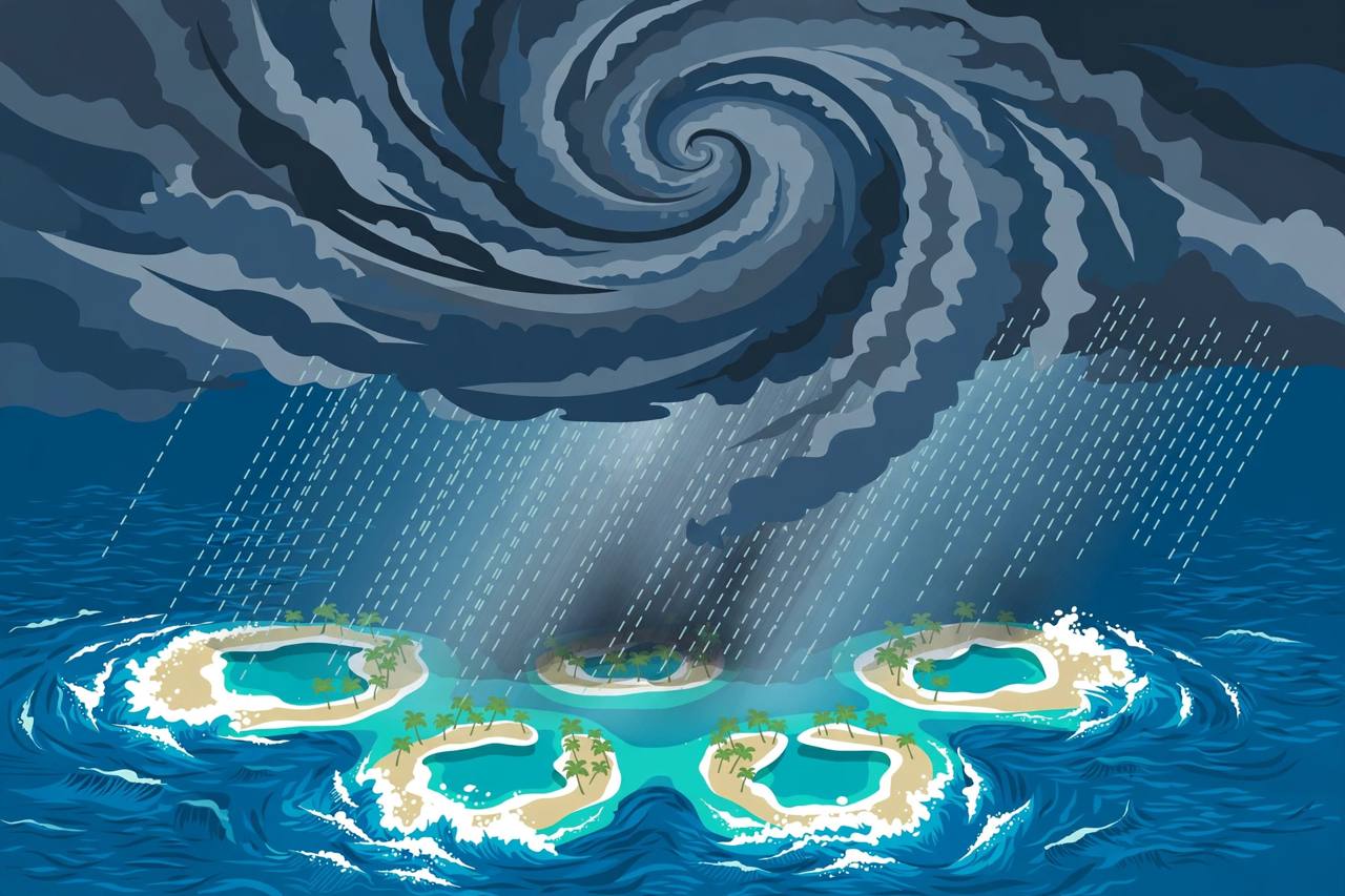
Severe Tropical Cyclone Xavier has intensified into a Category 5 storm over the northern Cook Islands, the Fiji Meteorological Service's Regional Specialized Meteorological Centre (RSMC) in Nadi said in Special Weather Bulletin Number Twenty, issued at 11:23 UTC on Tuesday, November 17. The bulletin placed Xavier near 9.4 degrees south, 163.4 degrees west — about 280 kilometres west-northwest of Manihiki — at 09:00 UTC, with a central pressure of 915 hPa, maximum sustained winds of about 215 kilometres per hour close to the centre and gusts up to 295 kilometres per hour. The centre said Xavier was gradually moving west-southwest at about 8 km/h and was still intensifying.
Source: Fiji Meteorological Service / RSMC Nadi
A gale warning remains in force for Pukapuka and Nassau, where the bulletin forecasts damaging gale-force winds averaging up to 85 km/h with momentary gusts up to 120 km/h, high seas, periods of heavy rain and squally thunderstorms, and damaging heavy swells with a risk of coastal inundation during high tides. A gale alert remains in force for Suwarrow on the same terms. For Manihiki and Rakahanga, a strong wind warning is in force: winds of up to 55 km/h gusting to 80 km/h, periods of rain heavy at times, rough to very rough seas and moderate swells, again with a risk of coastal inundation at high tide. Penrhyn was expected to see only moderate to fresh northeasterly winds.
For mariners, the bulletin warns of hurricane-force winds up to 115 knots within 35 nautical miles of the centre, storm-force winds up to 63 knots out to about 70 nautical miles, and gale-force winds up to 47 knots out to about 130 nautical miles, with phenomenal seas near the centre. On the forecast track, Xavier is expected to be about 270 km west-northwest of Manihiki by 18:00 UTC on Tuesday and about 310 km north of Suwarrow by 06:00 UTC on Wednesday. The next special weather bulletin is due at or before 15:00 UTC.
How Xavier Exploded in Strength
The escalation has been rapid. Xavier was named by Nadi on Sunday night, November 15, after forming from Tropical Depression TD02F over the Northern Cook Islands, and reached Category 1 that night. By Monday morning RSMC Nadi classed it as Category 2 with a central pressure of 985 hPa and sustained winds of about 95 km/h, and by early Tuesday it had reached Category 3 with gusts up to 170 km/h, according to Fiji Meteorological Service bulletins reported by RNZ Pacific and The Watchers. New Zealand's MetService had expected the storm to stay around Category 2 and move slowly away; instead, the centre's pressure fell to 915 hPa by Tuesday morning. The U.S. Joint Typhoon Warning Center, which tracks the system as 04P, had forecast a peak of 95 knots (about 175 km/h) on its one-minute wind scale by Tuesday evening.
Source: The Watchers
Manihiki and Rakahanga are low-lying coral atolls about 1,300 km north of Rarotonga, the Cook Islands' main island; Manihiki is known for the black pearl farms in its lagoon. Because the cyclone's centre is passing west of the atolls, the strongest winds are staying offshore for now, which is why Manihiki and Rakahanga are under a strong wind warning rather than a gale warning in the latest bulletin. No reports of damage or casualties in the Cook Islands had been published as of the Tuesday bulletin.
Why These Atolls Fear a Big Cyclone
The South Pacific cyclone season runs from November 1 to April 30, and this season carries a strong El Niño, which tends to shift cyclone activity east toward the Cook Islands and French Polynesia. The Watchers noted that NOAA's Relative Oceanic Niño Index reached +2.0°C for August to October, close to the 1997-98 event — and in that season Cyclone Martin struck Pukapuka, Manihiki and Rakahanga, its storm surge destroying almost every building on Manihiki and killing 19 people in the Cook Islands. That history is why a Category 5 system anywhere near these atolls is treated with the utmost seriousness, even when its centre stays offshore.
Earlier in the storm's approach, the Cook Islands Meteorological Service advised residents to secure loose items around their homes and fishermen to stay off the water if conditions were unsafe, and the U.S. Embassy in New Zealand said the cyclone was expected to remain in the area until Thursday, November 19, advising against unnecessary sea travel. What happens next depends on the track: RSMC Nadi expects Xavier to keep drifting west-southwest, slowly away from Manihiki, but gale conditions for Pukapuka, Nassau and Suwarrow and the coastal inundation risk at high tides continue into Wednesday.