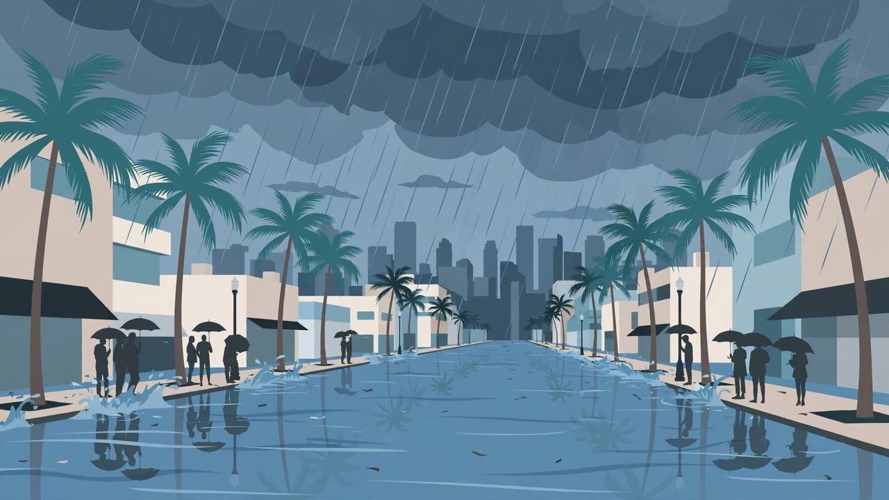
MIAMI, Florida — The National Weather Service in Miami expanded its flood watch for southeast Florida in the first minutes of Tuesday, issuing a new watch at 12:13 a.m. Eastern Time on November 17 that now covers Miami-Dade, Broward and Palm Beach counties from Tuesday afternoon through Thursday evening, November 19. An earlier Miami watch had covered only metro and coastal Palm Beach County; the new issuance — marked as an area expansion in the Weather Service product — adds the whole of the Miami and Fort Lauderdale urban corridor, where forecasters say several rounds of storms could drop 2 to 4 inches of rain through Friday, with higher totals of 6 to 8 inches and isolated amounts up to 10 inches possible.
Source: National Weather Service, Miami — Flood Watch, 12:13 a.m. EST, Nov 17, 2026
Exactly where the watch applies
The watch covers eight named areas: Inland Palm Beach County, Inland Broward County, Metro Broward County, Inland Miami-Dade County, Metropolitan Miami Dade, Coastal Broward County, Coastal Miami Dade County and Far South Miami-Dade County. The city list in the watch runs from Miami, Hialeah, Kendall, Carol City and Florida City in Miami-Dade, through Fort Lauderdale, Hollywood, Pompano Beach, Deerfield Beach, Miramar, Pembroke Pines, Sunrise, Davie and Coral Springs in Broward, to Wellington, Royal Palm Beach and Belle Glade in Palm Beach County, and includes the Miccosukee Indian Reservation. Miami Beach and the barrier-island towns are inside the coastal zones.
What forecasters expect
The Weather Service says flash flooding caused by excessive rainfall continues to be possible, driven by several rounds of storms rather than a single downpour. Heavy rainfall rates of 1 to 2 inches per hour may be observed with some of these storms, the watch says — the kind of rate that overwhelms street drainage in flat, paved urban areas even when storm totals stay near the low end of the forecast. The federal Weather Prediction Center separately placed east-southeast parts of the Florida peninsula under a Slight Risk — Level 2 of 4 — of excessive rainfall for Tuesday into Wednesday morning, according to USA TODAY Network-Florida reporting.
The impacts the watch warns about
Excessive runoff may result in flooding of rivers, creeks, streams and other low-lying and flood-prone locations, and flooding may occur in poor-drainage and urban areas, the watch states. In practice for the Miami–Fort Lauderdale corridor that means standing water on city streets and underpasses, swollen canals, and flooded yards in the low neighbourhoods that drain slowly — a familiar pattern in a region where much of the urban area sits only a few feet above sea level and where this month has already brought historic flooding further up the coast.
Flood Watch: Tuesday afternoon, Nov. 17, through Thursday evening, Nov. 19 (in effect 5 p.m. Tuesday to 7 p.m. Thursday). Rain rounds continue through Friday. High rip-current risk on the coast through Thursday evening.
The beaches are hazardous too
In a companion product issued at 12:18 a.m. Tuesday, the Weather Service put a high rip-current risk in effect for Coastal Miami-Dade County through Thursday evening, warning that rip currents can sweep even the best swimmers away from shore. The same coastal hazard message covers Coastal Palm Beach County and Coastal Broward County. Officials' standing advice applies on both hazards at once this week: swim near a lifeguard, and never drive through flooded roads.
A region still recovering from this month's flooding
The new rain arrives while parts of southeast Florida are still in recovery mode. The City of West Palm Beach has extended its local state of emergency through Sunday, November 22, to support response and recovery in neighbourhoods hit by this month's historic flooding, with city staff monitoring affected areas and clearing city-maintained storm drains. Flood recovery assistance is available through the Multi-Agency Resource Center at the Wells Recreation Center, 2409 Avenue H West in Riviera Beach, open 7 a.m. to 7 p.m., the city said. Further north, the same broad weather system is feeding the east-central Florida flood watch and the St. Johns River flooding covered in earlier Awaaz Punjab reporting — separate watches from a separate Weather Service office, for a different set of counties.
Watch versus warning — and what happens next
A flood watch means flooding is possible, not that it is occurring: residents should monitor later forecasts and be prepared to take action should flash flood warnings be issued, the Weather Service says. The watch window runs through Thursday evening, and forecasters will refine where the heaviest bands set up as the storms develop; any street-level flooding that becomes imminent would be covered by a flash flood warning for the specific area. For Punjabi and other South Asian families across Miami-Dade, Broward and Palm Beach — including truckers running Interstate 95 and Florida's Turnpike through the corridor — the practical steps are the standard ones: clear drains around the home, keep phones charged for alerts, and allow extra time and alternate routes if roads go under water during the evening commutes.