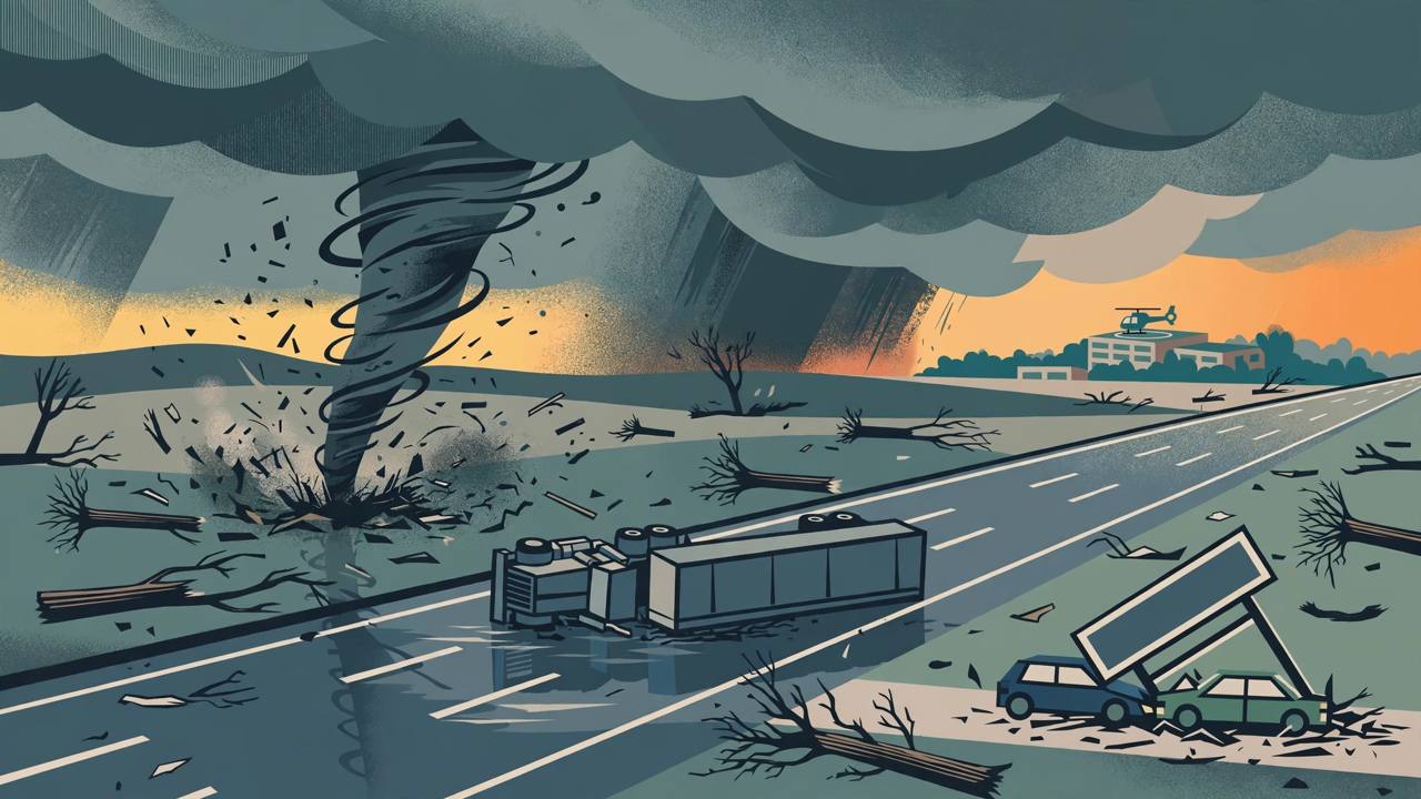
Two tornadoes were confirmed in the Mid-Atlantic on Thursday afternoon, November 12, 2026, as a line of severe thunderstorms swept the Interstate 95 corridor from Delaware through New Jersey to New York City. The National Weather Service confirmed a tornado in New Castle County, Delaware, and a second touchdown in Burlington County, New Jersey, NBC10 Philadelphia, FOX 29 and Delaware Online reported. The storms also brought a tornado warning over Queens, damaging hail, flash flooding and a tornado watch covering 11 New Jersey counties.
Source: NBC10 Philadelphia via The Orbit Post
The Delaware tornado did the heaviest reported damage. It crossed Interstate 95, where it overturned a tractor-trailer, then reached Christiana Hospital in Newark, where a medical helicopter was damaged and one of its rotor blades snapped, The Philadelphia Focal reported on November 13. Homes, vehicles and businesses were damaged across parts of New Castle County. The New Castle County Emergency Management Agency said no injuries were reported.
Hotel sign down on two cars in Newark
In Newark, the winds toppled the Sonesta ES Suites sign on Chapman Road onto two parked cars, leaving both totaled. Theresa Badley, who was inside the hotel, said she had been about to leave on an errand and decided to wait. "Something just said, 'Don't leave yet.' So I waited," she said. "Then I looked out the window. I was like, 'Oh my gosh, it's coming down.'" She watched the sign sway and fall onto her car, shattering her windshield, deploying the airbag and blowing her bumper down the street. "I was minutes from being inside of the car. Minutes," she said.
Across the street in the Chapman Woods neighborhood, a Tesla's camera captured garbage cans flying in the wind, homes were damaged and trees were uprooted. Resident Kushal Patel said neighbors turned to helping one another as cleanup began Thursday evening. "Everyone's safe, which is the most important thing," Patel said. "And I think now everyone's just cleaning up, helping each other out."
Burlington County: wall cloud over Westampton, warnings for the Turnpike and I-295
In New Jersey, the National Weather Service office in Mount Holly issued a tornado warning at 3:40 p.m. for north central Burlington County, running until 4:15 p.m. At 3:38 p.m. a severe thunderstorm capable of producing a tornado was located over Burlington, about 10 miles south of Trenton, moving northeast at 15 miles per hour, and a rotating wall cloud was observed near Westampton Township. The warning named Burlington, Bordentown, Columbus, Georgetown, Florence-Roebling and Fieldsboro, put the New Jersey Turnpike between exits 6 and 7A and Interstate 295 between mile markers 48 and 57 in the path, and listed the hazards as a tornado and quarter-size hail up to 1.00 inch.
Source: National Weather Service Mount Holly
A tornado was confirmed near Bordentown in Burlington County at about 4:20 p.m., according to the National Weather Service as reported in South Jersey coverage, and FOX Weather tracked a confirmed tornado near the interstate corridor in the county on Thursday afternoon. A warning for Mercer County ran until 4:30 p.m. As of Thursday evening, no rating for the Burlington County tornado, and no report of injuries or damage from it, had been released. Later, at 6:22 p.m., a tornado-producing storm was located over Mullica Hill, about 11 miles southwest of Gloucester City, moving northeast at 40 miles per hour; the Maple Shade Township Police Department relayed a National Weather Service warning, in effect until 6:45 p.m. for northwestern Camden County, north central Gloucester County, west central Burlington County and south central Philadelphia County, stating that a tornado had been radar-confirmed.
Queens warned, 11 Jersey counties under a watch
The same system put New York City under a tornado warning early in the afternoon. At 1:13 p.m. a severe thunderstorm capable of producing a tornado was located over Rockaway Beach, moving northeast at 15 miles per hour, and the warning ran until 2 p.m. for southern Queens, including the area around John F. Kennedy International Airport, and southwestern Nassau County, USA Today and The Journal News reported. New York City Emergency Management urged people in the warned areas to take shelter immediately; no tornado was spotted in Queens. The Storm Prediction Center had issued a tornado watch at 12:50 p.m. for Burlington, Camden, Gloucester, Hunterdon, Mercer, Middlesex, Monmouth, Ocean, Salem, Somerset and Warren counties in New Jersey, in effect through 7 p.m., with parts of Pennsylvania and Delaware also covered, NorthJersey.com reported. Forecasters had placed a small part of eastern Pennsylvania and central New Jersey under a slight risk, saying a surface low over northern Virginia would deepen and track eastward across New Jersey, and The Weather Network noted that organized severe thunderstorms are unusual in the Northeast this late in the year, with most occurring between April and September.
Flooding followed the wind. A flash flood warning covered Queens from 2:10 p.m. to 5:15 p.m., and flash flood warnings were also in effect into Thursday evening, between 6:30 and 6:45 p.m., for Philadelphia and Delaware counties in Pennsylvania, Camden, Gloucester and Salem counties in New Jersey, and New Castle County in Delaware, including Chester, Drexel Hill and Gloucester City. Severe thunderstorm warnings for Camden and Gloucester counties in New Jersey and Delaware and Philadelphia counties in Pennsylvania ran until 3:15 p.m. with hail up to 1.25 inches observed and gusts to 60 miles per hour, while a warning for Bucks and Montgomery counties in Pennsylvania ran until 3:30 p.m. with hail up to 1 inch and gusts to 50 miles per hour. The Delaware River at Marcus Hook read 7.8 feet at 2:24 p.m., a tenth of a foot above flood stage and rising.
A November tornado is rare in Delaware. Delaware Online's tornado tracker, which uses federal storm data, counts only one November tornado in the state since 1954: an EF1 that touched down in Wilmington on November 16, 1989. Thursday's New Castle County tornado is the region's second confirmed touchdown of the day, after which a survey team will set its rating.
What happens next
A National Weather Service survey team travels to New Castle County on Friday, November 13, to inspect the damage and determine the tornado's path, width and rating, and the Burlington County tornado likewise awaits a rating. Cleanup continued in Newark and across New Castle County on Thursday evening. Behind the storm system, the weather service expects a sharp cold turn, from highs in the lower 60s on Thursday to lows in the upper 30s on Friday night, with gusts up to 30 miles per hour at times. For the large Punjabi and South Asian communities across New Jersey, the Philadelphia suburbs and the New York metro — and for truckers who run the New Jersey Turnpike and I-295 through Burlington County and I-95 through Delaware — the Friday surveys will decide how strong these tornadoes were, while residents are urged to stay off flooded roads and to move to a basement or an interior room on the lowest floor if another warning is issued.