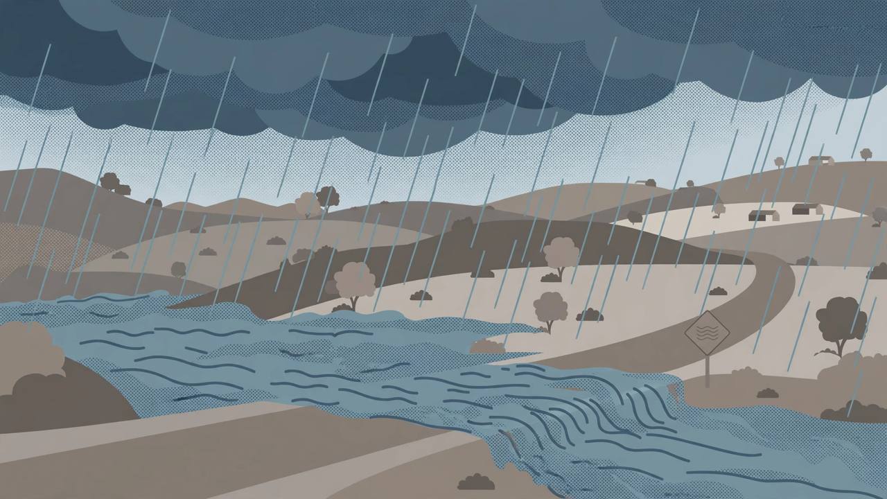
The National Weather Service office in Austin/San Antonio issued a flash flood warning on Sunday afternoon, November 8, for western Bandera County, Edwards County and northwestern Kerr County in south central Texas, after thunderstorms dropped between 3 and 5 inches of rain across the warned area. The warning, issued after radar indicated heavy rain at 1:23 p.m. CST, runs until 8:00 p.m. CST Sunday and describes the hazard in the strongest terms the service uses for this kind of event: life-threatening flash flooding of creeks and streams, and flooding along highways where low-water crossings exist.
Source: National Weather Service Austin/San Antonio via Kerrville Breaking News
This is an escalation from the flood watch this site reported on Saturday, November 7, for the Laredo and Corpus Christi areas. A watch means flooding is possible; a warning means flooding is occurring or is expected to begin shortly. Forecasters said up to 2 more inches of rain could fall in the warned area before the warning expires, on ground already saturated by days of rain.
Where the warning applies
The warning covers the South Fork and North Fork country of the Guadalupe River and names Medina, Rocksprings, Leakey, Loma Alta, Vanderpool, Camp Wood, Vance, Barksdale, Montell, Tuff, Reagan Wells, Rio Frio, Concan, Utopia and the Kerr Wildlife Management Area, along with Garner State Park, Lost Maples State Natural Area, Devil's Sinkhole State Natural Area and Kickapoo Cavern State Park. Weather alert listings for the same system also showed flash flood warnings in force for Bandera, Edwards, Kerr, Kinney, Real, Uvalde and Val Verde counties on Sunday afternoon.
A wider South Texas flood watch through Monday morning
Beyond the Hill Country warning, a flood watch remains in effect through Monday morning for a broad stretch of South Texas, including Corpus Christi, Laredo, San Antonio, Brownsville and Kerrville, according to ABC News reporting. Widespread rainfall of 2 to 5 inches is likely across the watch area, with isolated totals of 7 to 9 inches possible, and a Level 2 out of 4 flash flood threat in place for the rest of Sunday. The National Weather Service office in Corpus Christi had earlier issued a Sunday morning flash flood warning for southwestern Duval County and southeastern Webb County, covering U.S. Highway 59 between mile markers 790 and 816, the highway east from Laredo toward Freer.
Source: ABC News via KTBB
Why the Hill Country worries forecasters
The Texas Hill Country is one of the most flash-flood-prone regions in the United States: thin soil over limestone sheds water quickly into creeks and low-water crossings, and the Guadalupe River basin has a long record of sudden rises. The region is still marked by the July 4, 2025 floods, when the Guadalupe River rose to record levels and 135 people were killed. That history is why a warning naming the Guadalupe forks draws an immediate response from emergency managers, camp operators and riverside communities.
Never drive through flooded roads or low-water crossings — most flood deaths in Texas happen in vehicles. Move to higher ground if water rises near creeks, and check the National Weather Service Austin/San Antonio and Corpus Christi offices for updated warnings before travelling on U.S. Highway 59 or Hill Country routes.
State response and what happens next
On Friday, Texas Governor Greg Abbott directed the Texas Division of Emergency Management (TDEM) to bolster the state's emergency response to the ongoing flooding threat, ABC News reported. Rain is expected to taper Monday night across South Texas, with lower rain chances Tuesday and Wednesday near the coast. The flash flood warning expires at 8:00 p.m. CST Sunday, but the flood watch runs through Monday morning, and forecasters will be watching whether a second, heavier round of storms on Sunday night extends warnings further south and east.
For Punjabi truckers running U.S. Highway 59 and Interstate corridors through South Texas, the practical risk on Sunday night is low-water crossings and flooded frontage roads rather than the interstates themselves — check conditions before dispatch, and never rely on a dry-looking crossing after dark.