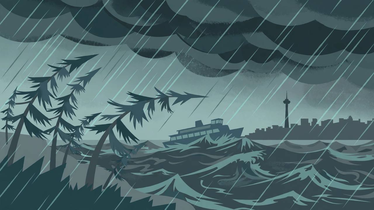
Western Washington is heading into its windiest night of the fall so far. The National Weather Service (NWS) in Seattle has a Wind Advisory in effect from 6 p.m. Saturday, November 7 to 4 a.m. Sunday for the Puget Sound lowlands — including Seattle, Tacoma, Everett and Bellingham along the I-5 corridor — a High Wind Warning for the Washington coast with gusts up to 60 mph, and a Gale Warning for Puget Sound and Hood Canal waters until 7 a.m. Sunday.
Source: National Weather Service Seattle — Area Forecast Discussion, 3:28 a.m. PST Nov. 7, 2026
The advisory, updated by NWS Seattle early Saturday, expects south winds of 15 to 25 mph with gusts up to 45 mph — and 45 to 50 mph in the updated wording carried by local outlets — across Island County, San Juan County, the City of Seattle, the Eastside, downtown Everett and Marysville, the lowlands of Pierce and southern King counties, the western Skagit and Whatcom lowlands, the Port Townsend area and the Shoreline–Lynnwood–south Everett area.
Source: NWS Seattle wind advisory via Beach Drive Blog
The coast takes the hardest hit, and it starts earlier
Forecasters upgraded the coastal High Wind Watch to a High Wind Warning beginning late Saturday afternoon, with southerly gusts as high as 60 mph on the beaches and headlands. KIRO 7 News Seattle reported that the winds with this front could be the strongest of the fall so far for some areas, and that the strongest burst along the I-5 corridor is likely mainly after 9 p.m. Saturday. Emerald City Weather reported the coast warning runs 4 p.m. Saturday through 4 a.m. Sunday, in the second storm of a series rolling in off the Pacific — the previous one already produced a 58 mph gust at Hoquiam and 48 mph at Everett.
Source: KIRO 7 News Seattle
Timing matters for anyone travelling tonight. The NWS forecast discussion says the strongest winds arrive with the frontal passage this evening along the coast and around midnight for the interior. Rain comes with the front: Seattle's zone forecast calls for a quarter to a half inch of rain late this evening and early Sunday morning, with lows in the lower 50s, before a breezy, showery Sunday with highs in the mid to upper 50s.
Gusts of 45–50 mph are enough to bring down tree limbs and cause scattered power outages — KIRO 7 warned outages will be possible across the region Saturday night — and to make high-profile vehicles hard to handle on exposed stretches of I-5, I-90 and I-405. On the water, the Gale Warning means rough seas on Puget Sound and Hood Canal from 4 p.m. Saturday to 7 a.m. Sunday; boaters and ferry passengers should expect a rough crossing window overnight.
One storm in a wet, active pattern
This is not a one-night system in isolation. FOX Weather describes a series of Pacific storms and an atmospheric-river pattern aimed at the Northwest through the weekend and into next week, with the heaviest rain across the Olympic Mountains — up to 5 inches possible in the broader wave of wet weather — and further rounds of wind and lowland rain next week, a pattern the NWS discussion also flags as staying active.
Source: FOX Weather
For the region's large Punjabi community — families across Seattle, Tacoma, Everett, Marysville and Bellingham, and the many truck drivers who run I-5 between the Canadian border and the ports — the practical advice from the forecast is simple: expect the roughest driving between about 9 p.m. and 4 a.m., secure anything outdoors that can blow away before the front arrives this evening, and be ready for possible outages overnight, especially near the coast and in the north Sound, where gusts will run highest.
What happens next
The Wind Advisory expires at 4 a.m. Sunday and the Gale Warning at 7 a.m. Sunday, with winds easing through Sunday morning. Forecasters expect the active pattern to continue next week with additional Pacific storms, so Saturday night is best read as the strongest gust window in a longer unsettled stretch — not the end of it. Awaaz Punjab will update this story if the NWS extends the warnings or if significant outages are reported overnight.