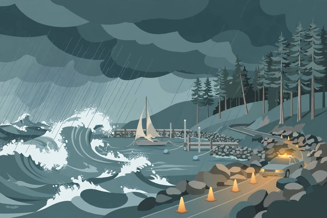
The first major storm of the season has pounded Del Norte County on California's far northern coast, bringing breaking waves of 30 to 40 feet, wind gusts that peaked at 53 mph and between 1.8 and nearly 3 inches of rain in a 12-hour period late Saturday night and into early Sunday morning, according to the National Weather Service and local officials.
Source: Redwood Voice
The storm's most disruptive blow on land came on Monday morning, when a rockslide came down on U.S. Highway 199 at Monument Drive, north of Hiouchi, prompting the California Highway Patrol to shut the highway down at about 9:50 a.m. U.S. 199 is the main inland route linking Crescent City and the U.S. 101 coast with Grants Pass, Oregon, and Interstate 5, so a closure in both directions cuts the region's principal connection between Southern Oregon and the Northern California coast.
By about 12:31 p.m., CHP officers were relieving congestion by letting northbound and southbound traffic through in turn before closing the highway again, and the closure was expected to end at 3:01 p.m., according to a CHP post on Facebook reported by Redwood Voice. A second report on the closure, carried by Oregon Corner, likewise said U.S. 199 was closed in both directions on Monday after the rockslide covered portions of the roadway north of Hiouchi.
Source: Oregon Corner
The storm in numbers
National Weather Service meteorologist Jacob Boomsma said an open-ocean swell that peaked at about 34 feet between Friday evening and early Saturday morning produced the 30-to-40-foot breaking waves, and some waves reached 50 feet or higher early on Saturday. “By daylight, Saturday, the swells had come down, but we were still experiencing breaking waves of up to 30 feet for most of the day,” Boomsma said. The 53 mph peak gust was recorded at the Del Norte County Regional Airport at about 11:40 p.m. Saturday, he said.
At Crescent City Harbor, the heavy surf swept rock and woody debris into the harbour, displaced navigational markers and loosened the mooring lines on a sailboat as well as a California Department of Fish and Wildlife modular dock, Harbormaster Mike Rademaker told Redwood Voice on Monday. There were, however, no major failures of Crescent City Harbor District structures, including its breakwaters, Rademaker said — in his assessment, things were not as bad as they could have been.
In Crescent City itself, the storm brought erosion to the bluff along Pebble Beach Drive, north of 9th Street and south of 7th Street, City Manager Eric Wier said. The erosion is outside the stretch of bluff that slid during a storm in January 2024 and was repaired and reopened in April 2025. “It's nothing that creates an immediate emergency, but it's certainly something we will document and keep a close eye on,” Wier said, adding that it underlines the importance of phase 2 of that project, and that dry ground absorbed most of the rain that fell on the city.
More weather is already on the way
The storm was not a one-off. A high surf advisory remained in effect for coastal Del Norte, Humboldt and Mendocino counties through 7 p.m. Monday, with a large westerly swell forecast to create 22-to-25-foot breaking waves on northwest-facing beaches, the Weather Service said. Anyone heading for the coast should treat those beaches as hazardous while the advisory runs.
Another storm is expected to pass through the area Tuesday night into Wednesday, Boomsma said, bringing strong south winds that could peak at around 45 to 50 mph at the airport and another 1 to 2 inches of rain. For drivers — including truckers who use U.S. 199 to move between the coast and Interstate 5 — that means the rockslide risk and difficult driving conditions do not end with Monday's cleanup; checking the current CHP and Caltrans status before setting out is the prudent step.
Harbormaster Rademaker said he is bracing for a king tide event forecast between Nov. 23 and Nov. 26. The Weather Service's 10-day High Tide Outlook puts peak tides at about 11:09 a.m. on Nov. 25, with a “most likely” water level of 10.05 to 10.55 feet around Humboldt Bay — a 1.2-to-2-foot storm surge on top of the high tide — and a “worst case” of 11.05 to 11.55 feet, with a 2.5-to-3-foot surge. “I think we could be setting up for something worse around Thanksgiving,” Rademaker said.
What happens next: crews and officers will keep watching U.S. 199 and the Pebble Beach Drive bluff as the Tuesday-night storm arrives, harbour staff are preparing for the late-November king tide, and forecasters will update the surf and wind advisories as the next system moves in. No injuries from the rockslide or the storm were reported in the accounts published by Monday evening.