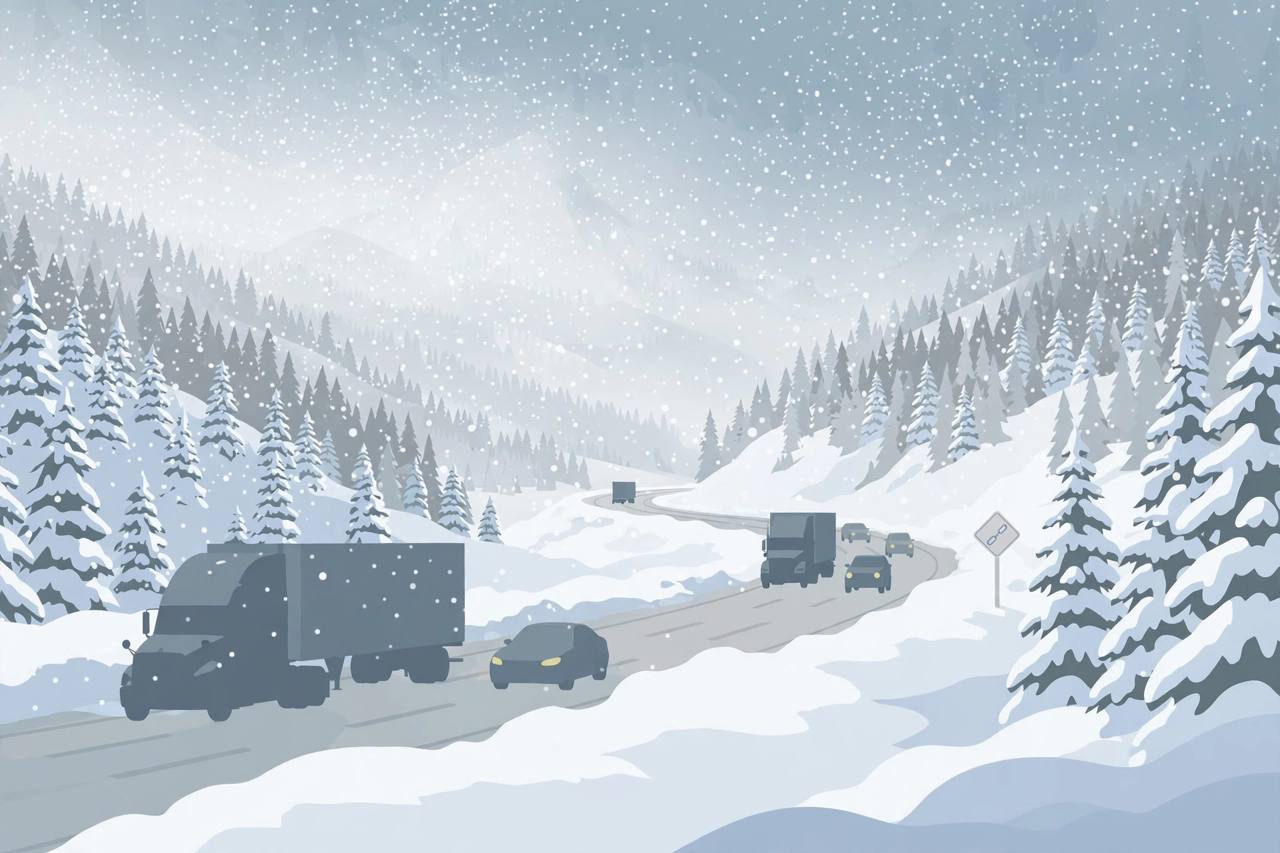
The National Weather Service has upgraded the Sierra storm first covered by this site as a winter storm watch on November 15 into full winter storm warnings, in effect from Tuesday evening and Wednesday morning through early Friday, November 20, across the Sierra Nevada in California and Nevada. Six Weather Service offices — Reno, Sacramento, Hanford, Medford, Eureka and Las Vegas — have warnings up for different parts of the range, and all of them warn that travel could become very difficult to impossible.
Source: National Weather Service warnings, compiled by Storm Recovery Hub
For the Greater Lake Tahoe area, the Weather Service in Reno forecasts 2 to 4 feet of snow above 7,000 feet and 1 to 2 feet around lake level between Wednesday morning and Friday morning, with the same 2 to 4 feet west of U.S. 395 in Mono County, ridgetop gusts as high as 100 mph and waves of 2 to 5 feet on Lake Tahoe itself. Strong winds of that strength can bring down tree branches and damage power lines, the warnings say.
On the western slope, the Sacramento office forecasts 1 to 3 feet of snow above 5,000 feet in the northern Sierra — including Interstate 80, Highway 50 and State Routes 4 and 108 — with up to 4 feet on the highest peaks and snow falling at 1 to 2 inches an hour on Wednesday. I-80 over Donner Pass is the main freight route between California and Nevada, and snowfall rates like that are exactly the conditions that bring chain controls, spin-outs and long closures for trucks.
Source: Autoblog, reporting National Weather Service warnings
Eastern slopes and the I-5 corridor in the north
The Las Vegas office has upgraded the eastern Sierra slopes of Inyo County to a winter storm warning from 4 a.m. Wednesday to 4 a.m. Friday, with 18 to 36 inches of snow expected between 8,000 and 9,500 feet, 10 to 18 inches between 5,000 and 8,000 feet and gusts to 55 mph. That office warns whiteout conditions will make travel treacherous and potentially life-threatening. Further north, the Medford office forecasts 10 to 18 inches above 4,000 feet in Siskiyou County, with a winter weather advisory for the I-5 corridor between Black Butte Summit and Weed — the route many California–Oregon trucks use.
What it means for truckers and valley drivers
For Punjabi and other truck drivers who run I-80, U.S. 50, U.S. 395 and I-5 for a living, this is a plan-around-it storm, not a push-through-it one: the heaviest snow lands Wednesday, chain controls and closures can change by the hour, and a stalled rig in whiteout conditions is a survival situation, not just a delay. The California Highway Patrol advises keeping the fuel tank full, because drivers may need to change routes, turn back or sit in a long delay, and says anyone whose vehicle stalls should stay with it, conserve fuel while keeping warm, and watch for exhaust and carbon-monoxide problems. Bridge decks and shaded stretches ice over before the rest of the road, the CHP notes, and a speed that is safe on dry pavement may not be safe in snow.
Check Caltrans QuickMap or 511 in California and NVroads in Nevada for chain controls and closures before starting over the Sierra, and carry chains, fuel, food and warm clothing. Warnings run through early Friday — conditions change fast, and the last official update is the one that counts.
What happens next
The warnings phase in from Tuesday evening and Wednesday morning and run as late as 4 a.m. Friday, November 20. Snow levels are expected around 2,500 feet in the Cascades passes to the north, and forecasters expect the system to move through before a drier ridge builds late in the week. Drivers with Wednesday or Thursday Sierra crossings should expect the worst of it mid-storm and check conditions again before travelling — this report will be updated if the Weather Service extends the warnings or Caltrans closes I-80 or U.S. 50.