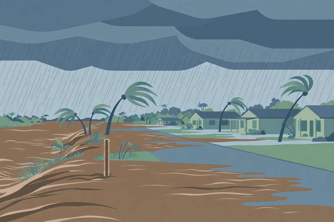
MELBOURNE, Florida — The National Weather Service in Melbourne issued a flood watch at 3:18 p.m. Eastern Time on Monday, November 16, covering nine east-central Florida counties from Tuesday afternoon through Friday evening, as forecasters warned that repeated showers and storms could drop 3 to 6 inches of rain across the region — with localized totals of 8 to 12 inches possible, heaviest in the coastal counties. The watch takes effect at 5 p.m. Tuesday, November 17, and runs through 7 p.m. Friday, November 20.
Source: National Weather Service, Melbourne (flood watch, Nov 16, 2026)
The nine counties under the Melbourne watch are Volusia, Seminole, Orange, Osceola, Okeechobee, Brevard, Indian River, St. Lucie and Martin — a stretch that includes Daytona Beach, the Orlando metro's eastern half and the Space Coast. A separate watch from the weather service office in Miami covers metro and coastal Palm Beach County. Volusia County's own notice, published Monday, described a forecast of 4 to 6 inches of rain through Friday, with locally higher amounts possible.
The river is already flooding before the new rain arrives
What makes this watch more serious than a routine rain forecast is the water already in place. Separate river flood warnings were already in effect on Monday for the St. Johns River, Florida's longest river. Near Cocoa, in Brevard County, the river measured 17.0 feet at 9:15 a.m. Monday — a full foot above its 16.0-foot flood stage — with major flooding occurring and forecast to continue. Above Lake Harney, on the Seminole-Volusia line, the river stood at 9.0 feet at 8:30 a.m. Monday, a foot above its flood stage. Near Astor, at the Volusia-Lake county boundary, the river was at 2.6 feet on Monday against a flood stage of 2.3 feet, with minor flooding occurring; the weather service reissued the Astor warning at 8:24 p.m. Monday, in effect until further notice, forecasting minor to moderate flooding and warning that persistent northerly winds later in the week could push the river back into moderate flood stage.
Cassie Wishard, a meteorologist with the National Weather Service in Melbourne, said flooding along the St. Johns River in Volusia County is being closely monitored and that, at this time, the Astor flooding is not threatening homes or property. She said a minor flood-stage warning is in effect, with the possibility of moderate-stage flooding by the weekend. The river warnings remain in effect until further notice and are separate from the new rainfall watch: the warnings describe flooding that is already happening, while the watch covers flooding that the coming rain may cause.
Watch versus warning — what the words mean
A flood watch means flooding is possible and residents should be prepared; a flood warning means flooding is occurring or imminent and people in the affected area should act. The St. Johns is especially prone to this kind of slow, lingering flooding: it flows north, drops very little in elevation along its length, and drains slowly, so heavy rain and persistent onshore winds can keep it above flood stage for days after the rain itself has stopped. That is why forecasters are concerned about new rain falling on a river that has not yet receded.
Flood watch: 5 p.m. Tuesday, Nov. 17, to 7 p.m. Friday, Nov. 20 (Eastern). St. Johns River flood warnings near Cocoa, above Lake Harney and near Astor: already in effect, until further notice.
Who is affected
The watch text says runoff from the expected rain may flood rivers, creeks, streams and low-lying and poor-drainage areas across the nine counties. Along the St. Johns near Astor, the warning lists roads, yards and low-lying homes as vulnerable as water levels rise. The affected region includes heavily travelled corridors such as Interstate 95 and U.S. 1 along the Space Coast and the Orlando area's eastern suburbs, where standing water on roads is a common problem in multi-day rain events. Officials routinely warn drivers never to drive through flooded roads, because the depth and the condition of the road underneath cannot be judged from the surface.
What happens next
The watch begins Tuesday at 5 p.m., and the National Weather Service in Melbourne has said the placement of the heaviest rain bands still carries uncertainty, so totals in any one county could land above or below the forecast range. Because the river forecasts issued Monday morning were made before the watch, the expected river crests may change once the new rain is factored in, and the weather service will update its river statements as the week goes on. Residents in the watch area — especially those living along the St. Johns River near Cocoa, Lake Harney and Astor — should monitor updated watches, warnings and river forecasts at weather.gov, keep drainage paths around their homes clear, and be ready for road flooding through Friday evening.