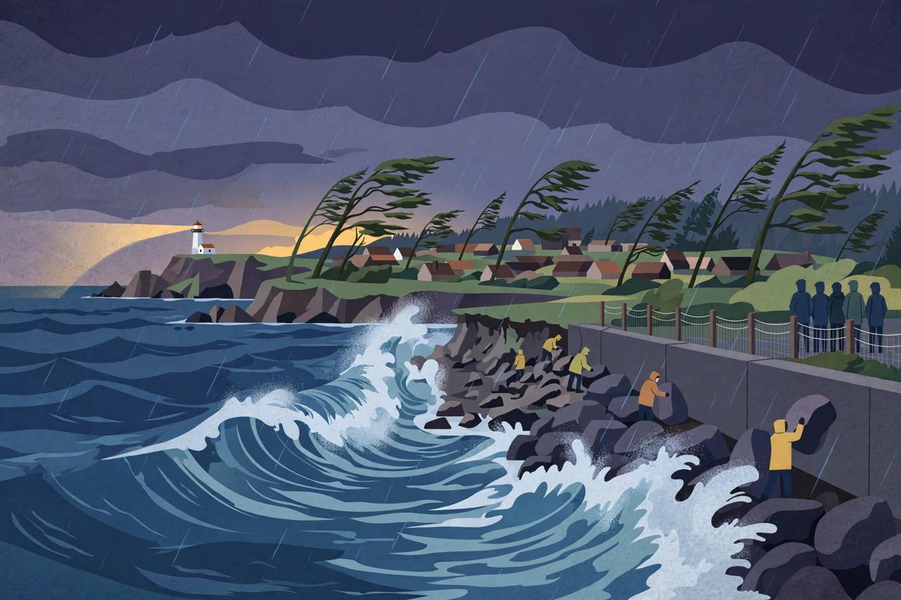
A new and stronger Pacific storm is hitting the Washington and Oregon coast on Saturday afternoon and Saturday night, November 14, and the National Weather Service has put the region's coastal waters under Storm Warnings that run into the early hours of Sunday. The warnings cover 18 marine zones from Cape Flattery, Washington, to Point St. George, California, including the Columbia River Bar, one of the most dangerous bar crossings on the West Coast.
For Washington, the National Weather Service office in Seattle issued a Storm Warning for waters from Cape Flattery to Cape Shoalwater, starting at 1 p.m. Saturday for the outer waters 10 to 60 nautical miles offshore and at 2 p.m. for the near-shore waters, running until 1 a.m. Pacific time on Sunday. Winds in the outer waters are forecast at 35 to 45 knots, with seas of 16 to 20 feet, and a Small Craft Advisory was in effect until 1 p.m. before the storm warning took over.
Source: National Weather Service Seattle, via storm warning summary, Nov 14, 2026
What the warnings say, zone by zone
Further south, the National Weather Service in Portland has a Storm Warning for its outer waters from 1 p.m. Saturday to 4 a.m. Sunday, with south winds of 35 to 45 knots gusting to 55 knots and seas of 17 to 22 feet. Its inner waters and the Columbia River Bar are under a Storm Warning from 4 p.m. Saturday to 4 a.m. Sunday, with winds of 30 to 40 knots gusting to 50 knots. A Hazardous Seas Warning, with seas of 23 to 28 feet, remained in effect until Saturday afternoon.
Off southern Oregon and northern California, the National Weather Service in Medford has a Storm Warning from 1 p.m. Saturday to 1 a.m. Sunday for waters from Florence, Oregon, to Point St. George, California, with south winds of 35 to 45 knots gusting to 60 knots and seas of 19 to 24 feet. The Ocean Prediction Center also has a Storm Warning for waters 60 to 150 nautical miles offshore from Cape Lookout to Florence, Oregon, with winds of 35 to 50 knots and seas of 19 to 23 feet.
Beaches are the most dangerous place this weekend
High Surf Warnings and Advisories are in place along the Oregon and southwest Washington coast through Saturday, with large waves and dangerous surf and breakers of up to 30 to 35 feet, the National Weather Service in Portland warned. High surf will produce rip currents and sneaker waves — waves that run far further up a beach than the ones before them — and the service's message was direct: stay off the beach. Weather.com reported that through early Sunday the most potent system could bring waves as high as 30 feet in nearshore waters, potentially breaking to 50 feet at favoured spots from northern California to the Oregon coast, and that the risk of drowning in coastal waters is very high this weekend.
Source: Weather.com, Nov 14, 2026
Fox Weather reported that a broader, much stronger system in the northeast Pacific is sweeping a front onshore through Saturday, that widespread rain will keep soaking already-saturated ground with totals likely to exceed 6 inches in some places along the coasts, and that winds between 60 and 80 mph will be a problem along the coast, with gusts around 40 mph along the Interstate 5 corridor. Beach erosion will threaten more than 500 miles of coastline from Washington to Southern California, the FOX Forecast Center said.
Source: Fox Weather, Nov 14, 2026
The city of Ocean Shores, Washington, declared a citywide emergency earlier in this same storm series after an earlier storm tore away more than 800 feet of the cobble berm that protects homes and the city's shoreline, and crews have been stacking boulders along the eroding shore. A Flood Watch is also in effect for Mason County, Washington, where the Skokomish River is being watched for flooding. Tonight's storm arrives on ground and shorelines that have not recovered from the last one.
Rain, rivers and the roads
Rainfall totals are expected to range from 3 to 6 inches in southern Oregon, far northern California, in the northern Sierra Nevada foothills and on Washington's Olympic Peninsula, with more than an inch likely from the Bay Area to western Washington and Oregon, weather.com reported. High tides combined with elevated water levels from El Niño could create multiple feet of coastal flooding during each of these storms, and coastal debris, including logs, can become projectiles in cresting waves, the National Weather Service in Portland warned.
For drivers, including the many Punjabi truckers who run the Interstate 5 corridor between Seattle, Portland and California, the practical risks this weekend are coastal and valley wind gusts, flooded low-lying roads, and dangerous conditions on coastal highways. For mariners, the advice is stronger still: remain in port or take shelter until winds and waves subside, and treat bar crossings — above all the Columbia River Bar — as especially dangerous. Boating is ill-advised this weekend, weather.com said, quoting the National Weather Service in Medford urging mariners to remain in port during this period of extremely dangerous weather.
Background: a week of storms, and more coming
The Pacific Northwest has faced a week of storms that brought near tropical storm-force winds, rounds of heavy rain, massive waves and mountain snow, and the pattern is not ending on Sunday. Another round of very high westerly swell is expected Sunday into Monday, peaking at 20 to 25 feet, the National Weather Service in Medford said. On Sunday, heavy rain and high-elevation snow will hit parts of Washington, Oregon and northern California and spread from the Bay Area to western Montana by the evening; on Monday the system shifts to the Intermountain West, and on Tuesday another storm approaches the coast, when soils softened by the earlier rounds will raise the flooding risk further, weather.com reported. Storms will continue in the Pacific Northwest through mid-week.
What happens next: the Storm Warnings expire between 1 a.m. and 4 a.m. Pacific time on Sunday, but high surf continues into Monday, and residents in coastal Washington and Oregon — including families in Ocean Shores and along Grays Harbor — should follow National Weather Service Seattle, Portland and Medford updates, stay well back from the surf and off jetties and rocks, and check road conditions before travelling. No deaths from this weekend's storm had been reported in the sources available at publication.