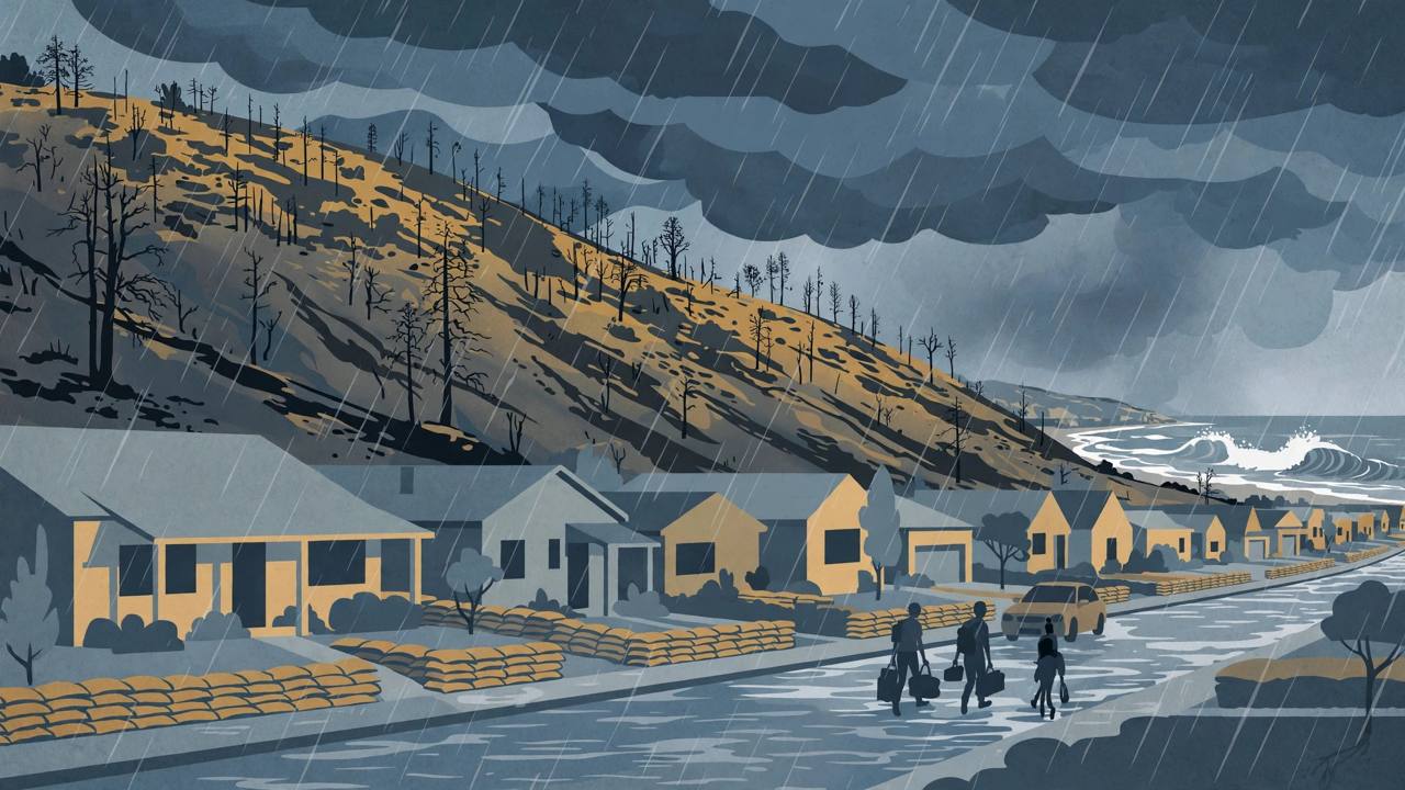
LOS ANGELES — An unusually strong storm system known as an atmospheric river was dousing Southern California on Saturday, prompting flood warnings in areas of coastal Los Angeles County that were recently ravaged by wildfire, the Associated Press reported. The National Weather Service office for Los Angeles and Oxnard reported heavy rainfall on Saturday at rates as heavy as an inch (2.5 centimetres) per hour in coastal areas that are prone to flash flooding.
Source: Associated Press via Air1
Evacuation orders — which are mandatory — were issued for specific high-risk properties in the Palisades and Eaton fire burn areas, in effect from Friday evening to Sunday morning. Los Angeles Mayor Karen Bass said in a social-media post on X on Saturday morning: “Due to the potential for debris flows, an Evacuation Warning remains in effect within and around all recent burn scar areas, and select vulnerable properties remain under Evacuation Orders.”
Warnings run from the Ventura coast through Malibu into Los Angeles
Flood warnings extended from the Ventura County coast, through Malibu and into the City of Los Angeles, the AP reported. On Friday, more than four inches of rain fell over coastal Santa Barbara County as the storm approached Los Angeles, and the National Weather Service urged people to stay indoors amid heavy winds. The long plume of tropical moisture that formed over the Pacific Ocean began drenching the San Francisco Bay Area on Wednesday and unleashed widespread rain over Southern California on Friday and Saturday.
Inside the city, the Los Angeles Fire Department's evacuation warning for possible post-fire debris flows in the Palisades Fire area took effect starting Saturday at 10 a.m., according to an alert from the City of Los Angeles Emergency Management Department. Houses in the warning area judged to be at high risk were to be visited by Los Angeles Police Department officers with protective information, and residents can check maps of the warning area on the fire department's alert page.
Source: City of Los Angeles Emergency Management Department via Nixle
On the Eaton Fire side, Los Angeles County Public Works issued a Phase 1 debris and mudflow potential forecast for the burn scar that ran from 6 p.m. Thursday, November 13, to 8 p.m. Friday, November 14, with a Phase 2 alert following from Friday at 8 p.m., according to the Sierra Madre Police Department. Phase 1 indicates a moderate-to-heavy risk of debris flow or flash flooding; under Phase 2, debris and mudflows may occur at more widespread locations, and the existing evacuation warning was expected to transition to an evacuation order. In Sierra Madre, evacuation warnings remain in place for properties in the canyon areas and for all properties north of East Grand View Avenue and West Grand View Avenue.
Source: Sierra Madre Police Department via Nixle
Dangerous surf adds a second threat along the coast
The same storm is driving hazardous surf. A High Surf Advisory remains in effect through 3 p.m. Pacific time on Tuesday for the Malibu coast and Los Angeles County beaches, with breaking waves expected to reach 8 to 12 feet on Saturday at west- to northwest-facing beaches, the National Weather Service said. For Ventura County beaches, the advisory put surf at 8 to 14 feet, peaking Saturday and possibly reaching 15 feet near Ventura Harbor. A Coastal Flood Advisory was in effect from 4 a.m. to 4 p.m. Saturday, with moderate flooding possible in vulnerable low-lying coastal areas around high tide, and the Weather Service warned of moderate-to-significant beach erosion and shallow flooding over beach walkways, parking lots and roads.
Source: National Weather Service advisories via MyNewsLA
Why burn scars turn heavy rain into a debris-flow emergency
The Palisades and Eaton fires devastated these coastal and foothill communities, and recovery work is still under way — which is exactly why a rainstorm is dangerous there now. Ground stripped of vegetation by wildfire sheds water instead of absorbing it, so intense rain can rush downhill carrying mud, ash and debris into streets and homes below the scar. That is why officials order out only the specific properties judged most vulnerable, while the wider burn-scar area stays under a warning to be ready to leave, and why county public-works crews issue phased debris-flow forecasts for each scar as the rain arrives.
For drivers, the storm has already shown what saturated roads can do in California this week: heavy rain flooded Bay Area freeways on Friday, and officials across the state are urging motorists never to drive through flooded roadways. FOX Weather reported the wider storm pattern will keep soaking the Pacific Northwest through mid-week, with rain totals likely to exceed six inches in some coastal places and beach erosion threatening more than 500 miles of coastline from Washington to Southern California — a reminder for Punjabi truckers running the I-5 and coastal corridors to check conditions before rolling.
Source: FOX Weather
The mandatory evacuation orders at high-risk Palisades and Eaton properties run through Sunday morning. The High Surf Advisory for the Malibu coast and Los Angeles County beaches lasts until 3 p.m. Pacific on Tuesday, and Los Angeles County's ocean water-quality rain advisory — urging beachgoers to avoid water near storm drains, creeks and rivers — remains in effect through at least 8 a.m. Monday. Drier weather was expected from Saturday afternoon through at least Sunday afternoon, with highs in the mid-60s to low 70s, but officials will reassess the burn-scar warnings as the rain eases.
No casualties had been reported in the official updates cited in this report as of Saturday morning, Pacific time. Residents inside a warning area should keep phones charged, watch city and county alerts, and check the Los Angeles Fire Department's alert maps before travelling through the burn areas.