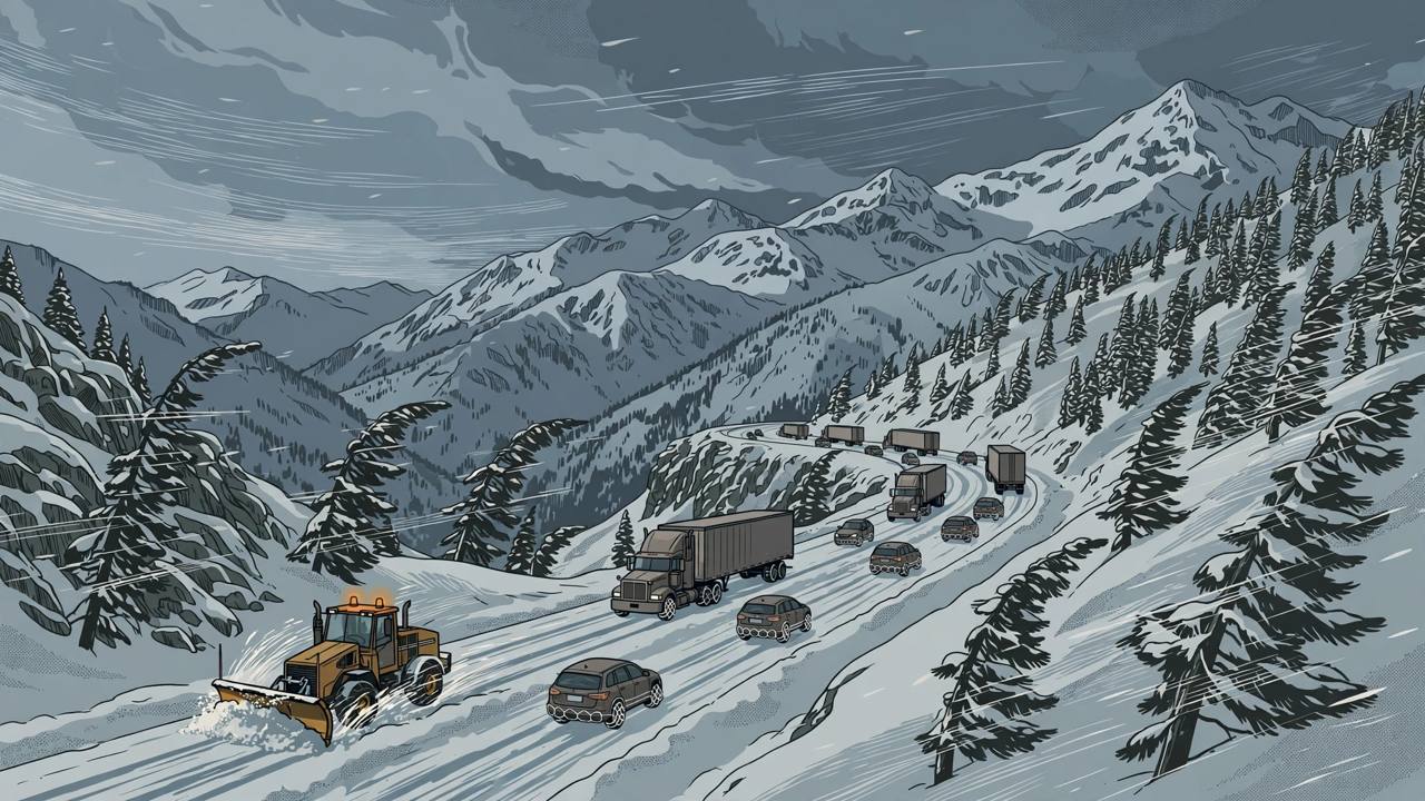
SACRAMENTO, California — Up to two feet of snow on the highest Sierra Nevada peaks, gusts of up to 80 mph over the ridges and heavy, wet “Sierra cement” on Interstate 80 and Highway 50 are expected from Friday through the weekend and into Monday, under winter storm watches issued by four National Weather Service (NWS) offices. The watches, first issued on Tuesday, November 10 and updated on Wednesday, November 11, cover the main California–Nevada mountain corridors at the start of the winter driving season — including I-80 over Donner Pass, the route thousands of trucks use every day between California and the rest of the United States.
Source: Autoblog, Nov. 11
This is a forecast story, not a storm that has already happened: no closures were in effect when the watches were issued. What the Weather Service is warning is that travel could become very difficult to impossible at times from Friday afternoon onward, with chain controls, whiteout bursts and downed branches all possible, and with a second round arriving in time for the Monday morning drive.
Source: National Weather Service Sacramento, forecast discussion Nov. 11
The watches, area by area
For the northern Sierra and Lassen Volcanic National Park, the NWS Sacramento watch runs from Friday morning through Monday afternoon: up to 12 inches of snow above 6,000 feet and up to 24 inches at the highest peaks, gusts to 60 mph, and minor accumulations of about an inch possible down to 5,000 feet. The watch covers Interstate 80, Highway 50, State Route 4 and State Route 108, including Carson Pass, Kingvale, Blue Canyon, Twain Harte and Arnold.
Source: National Weather Service Sacramento, forecast discussion Nov. 11
Around Lake Tahoe, the NWS Reno watches run from Friday morning into Saturday: about 12 inches above 7,000 to 7,500 feet, up to six inches lower down and up to 20 inches along the crest west of Lake Tahoe in the updated forecast, with gusts of 60 to 80 mph over the ridges and 35 to 45 mph reaching Truckee, South Lake Tahoe, Tahoe City, Incline Village and Stateline. A burst of heavy snow is likely late Friday afternoon into Friday evening, forecasters say — in time for the Friday evening commute.
Source: Autoblog, Nov. 11
In Mono County, along US Highway 395, the Reno office expects about 12 inches above 7,000 to 7,500 feet and little or nothing below 6,000 feet, with gusts of 40 to 55 mph. On the eastern Sierra slopes, the Las Vegas office expects five to 10 inches above 7,000 feet and up to a foot near the Sierra Crest. Farther south, the Hanford office's watch for Yosemite, Kings Canyon and Sequoia runs from Friday evening to early Tuesday, with six to 12 inches above 6,000 feet and gusts to 50 mph.
Source: Autoblog, Nov. 11
Timing: snow levels fall through the weekend
Snow levels in the Sacramento forecast area start at 7,000 to 8,000 feet on Friday, drop to about 6,500 feet on Saturday and reach about 5,000 feet by Monday morning. The NWS Sacramento forecast discussion on Wednesday afternoon put snow levels at 6,500 to 7,500 feet on Friday, falling to 5,500 to 6,500 feet by Saturday morning, with snow heavy at times and strong winds creating potential whiteout conditions. Forecasters expect the heaviest snow Friday night into Saturday morning, a possible break during the day Saturday, then more snow Saturday night and again into Monday.
Source: National Weather Service Sacramento, forecast discussion Nov. 11
Why this snow is dangerous: “Sierra cement” and crosswinds
The Reno office calls this kind of snow “Sierra cement”: heavy and wet, it quickly turns to slush and ruts under traffic and collects on windshields and around wheel wells, making steering and braking less predictable. The Sacramento and Reno offices both warn that snow and wind could bring down tree branches, and Sacramento adds a risk of localised power outages. A downed line on the road should be treated as live and given a wide berth, Autoblog's summary of the warnings notes.
Source: Autoblog, Nov. 11
On US 395 in Mono County, gusts of 40 to 55 mph are strong enough to push vans, pickups with campers, box trucks and anything towing a trailer out of their lane, forecasters warn. The Las Vegas office notes that bridges and overpasses are likely to turn slick first.
Source: Autoblog, Nov. 11
I-80 over Donner Pass is one of the busiest freight crossings of the Sierra, and Punjabi truckers run it in both directions every day. Chain controls are likely on the high passes during the heaviest snow. Caltrans posts live road conditions and chain controls on QuickMap (quickmap.dot.ca.gov) and drivers can dial 511. The Las Vegas NWS office recommends delaying travel if possible; anyone who must go should carry tire chains, booster cables, a flashlight, a shovel, blankets, extra clothing, water and a first aid kit.
Background and what happens next
Winter storm watches are issued in advance — usually at least a day ahead — when heavy snow and wind are possible but not yet certain in timing or amount. As Friday approaches, the watches may be upgraded to winter storm warnings for the areas where forecasters gain confidence, or allowed to expire if the storm weakens. A series of storm systems is expected to bring widespread rain to the valleys alongside the mountain snow, the Sacramento office said on Wednesday.
Source: National Weather Service Sacramento, forecast discussion Nov. 11
What happens next: check the watch status on Thursday and Friday before setting out, expect the first chain-control decisions on the high passes as snow levels fall on Friday, and plan mountain crossings for the Saturday daytime break if the forecast holds — or delay until after Monday if it does not. For families in the Central Valley and the Bay Area heading to Tahoe for the weekend, and for truckers with Monday delivery windows on the other side of the Sierra, the decision point is Friday morning's updated forecast, not Friday night's roadside conditions.