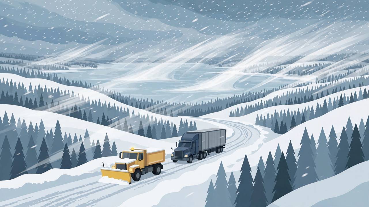
MARQUETTE, Michigan — The first multi-day lake-effect snow event of the season is under way across Michigan's Upper Peninsula, and the National Weather Service in Marquette has put Baraga and Marquette counties under a Winter Weather Advisory from 10 p.m. Wednesday, November 11, until noon Friday, November 13, Eastern time. Higher ground inland could pick up 8 to 10 inches of snow by Saturday morning, while communities on the Lake Superior shoreline may see only about an inch — a split that is the signature of lake-effect snow, and one that will make driving conditions change dramatically over just a few miles.
Source: National Weather Service, Marquette
Lake-effect rain showers spread across the region on Wednesday evening and turned to snow overnight as colder air arrived, according to the weather service's forecast discussion issued Wednesday. An extended period of lake-effect snow is expected to continue tonight into Saturday, with the most impactful periods during the overnight and early morning hours, especially Thursday night into Friday, before the snow winds down on Saturday, lingering mainly over northern Marquette County and Alger County on Saturday morning.
How much snow, and where
The weather service expects 4 to 8 inches of snow over the higher terrain of Marquette and Baraga counties through Friday, and said there is an 80 percent chance of that range in the higher terrain, with the high end along and west of the Dead River Basin. WLUC TV6 in Marquette and the Lansing State Journal reported that the high terrain of Baraga, Marquette and Alger counties could reach 8 to 10 inches by Saturday morning, while most of the northern Upper Peninsula sees 1 to 3 inches, 3 to 6 inches inland, and less along the Lake Superior shoreline.
Source: WLUC TV6 / Lansing State Journal
Town by town, Ishpeming and Champion could get 6 to 8 inches by Friday night, and Republic, Three Lakes and Gwinn up to 6 inches, the Lansing State Journal reported, citing the weather service, while Marquette and L'Anse are forecast to see only about an inch. The weather service's own numbers underline how sharp the local differences could be: it put a 90 percent chance of 2 inches or more near Ishpeming and a 75 percent chance of 4 inches or more there, a 60 percent chance of snowfall exceeding 10 inches west of the Dead River Basin, and a 40 percent chance of more than 12 inches in a small area west of Marquette County Road 510, more than 10 miles north of US-41 and more than 10 miles southwest of Big Bay.
Why driving turns dangerous on Thursday night
“Moderate snowfall rates around 0.5 [of an inch] per hour at times will lower visibility below 1 mile,” the National Weather Service in Marquette said, according to the Lansing State Journal. Gusts of 25 to 35 mph on Thursday could blow the snow around and cut visibility further, TV6 reported, with other forecasts putting gusts near 30 mph inland and up to 40 mph near Lake Superior. Winds ease on Friday. The weather service warned that the Thursday morning and evening commutes and the Friday morning commute could all be significantly affected, and it called the overnight and early morning hours the most dangerous — especially Thursday night.
One stretch drivers were specifically warned about is US-41 between Marquette and Negaunee, where conditions worsen as the highway climbs inland away from the moderating effect of Lake Superior. That matters well beyond local commuters: US-41 and the Upper Peninsula's east-west highways carry the trucks that move freight between Michigan, Wisconsin and Canada, and lake-effect bands can turn a clear road into a whiteout within a single band's width. The weather service also noted that drivers may be caught off guard because the season has had little snow so far — for many people on these roads, this is the first true winter drive of the year.
Background: why lake effect hits so unevenly
Lake-effect snow forms when cold air passes over the still-warmer water of a large lake — here, Lake Superior — picks up moisture, and then dumps it as snow where the air rises over higher ground on the far shore. That is why the inland hills of Baraga, Marquette and Alger counties can be buried while the shoreline city of Marquette, only a short drive away, gets a fraction of the total, and why forecasters describe this as a long-duration event rather than a single storm: as long as cold air keeps flowing over the lake in north and northeast wind belts, the snow bands keep regenerating, which TV6 said will keep bands expanding through Thursday and Friday, moderate to heavy at times.
Check conditions before you leave, keep the fuel tank full, and carry a scraper, warm layers and snacks. Slow down and leave extra room on Thursday night and Friday morning, especially on inland and higher routes near Ishpeming. Times in this story are Eastern for most of the Upper Peninsula, including Marquette County.
The rest of the region and the weekend
The snow is not confined to the Upper Peninsula. The National Weather Service office in Gaylord expects a rain and snow mix on Thursday, November 12, in northern Lower Michigan, which could make the Friday morning commute difficult there as well, the Lansing State Journal reported. Back in the Upper Peninsula, highs fall to the low 30s inland and the mid 30s along the shore on Thursday and Friday, then climb to the mid 30s inland on Saturday and the low 40s by Sunday, TV6 reported — warm enough that a rain and snow mix returns on Saturday and the new snow may turn slushy by the end of the weekend.
There is one more reason the roads will be busy even in the snow: Michigan's regular firearm deer season opens on November 15, so hunters are already travelling to camps across the Upper Peninsula this week, and drivers should expect extra traffic on inland and back roads where ploughing may lag behind the snowfall.
What happens next
The Winter Weather Advisory for Baraga and Marquette counties runs until noon Eastern on Friday, November 13. Lake-effect snow is expected to wind down on Saturday, confined mainly to northern Marquette County and Alger County during the morning, with a few lingering rain and snow showers. The National Weather Service in Marquette posts updated forecasts, briefings and any new advisories at weather.gov/mqt, and drivers crossing the Upper Peninsula on Thursday night or Friday morning should check the latest briefing before setting out rather than relying on conditions at the lakeshore, where the snow will look deceptively light.