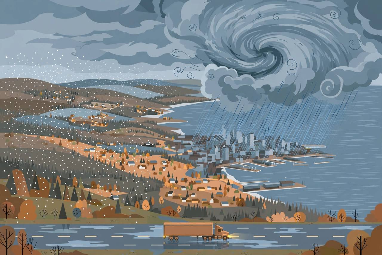
A potential nor'easter is taking shape for the end of this week, and with it the first snow of the season for parts of the interior Northeast, soaking rain for the coast, gusty winds, and a hard swing to cold that forecasters say will put more than 160 million Americans below average temperatures by Saturday. The Weather Channel and FOX Weather both stressed on Monday, November 9, that the storm's exact track is still uncertain — and that the track, more than anything else, will decide who gets snow, who gets rain and who mostly gets wind.
Source: The Weather Channel (weather.com)
What is not uncertain is the cold air arriving with the system. A deep southward plunge in the jet stream — a trough — is expected to carve across the East late this week. Daytime highs will plummet about 20 degrees from Wednesday to Friday from Chicago all the way to Atlanta, and by the weekend lows will drop into the 30s as far south as the Florida Panhandle, according to The Weather Channel.
The timeline: Wednesday rain, Thursday changeover, Friday storm
The sequence begins in the middle of the country. Forecast models show a low-pressure system moving across the Midwest by Wednesday, then strengthening as it moves into the Ohio Valley on Wednesday night, bringing rainfall from Georgia to Michigan, The Weather Channel reported. The FOX Forecast Center describes the same first stage: a wave of low pressure organizing across the Ohio Valley late Wednesday, at that point still relatively weak, producing scattered light rain with minimal impacts.
Source: FOX Weather
By Thursday, the initial low advances toward the Northeast and, by Thursday night, a second area of low pressure is expected to form off the Eastern Seaboard. As that coastal low develops, rain could begin mixing with or changing over to wet snow over parts of the interior Northeast. Scattered showers could reach the Interstate 95 corridor on Thursday and cause minor travel delays, FOX Weather said, but overall impacts at that stage are expected to remain limited.
Friday into the weekend is where the forecast gets, in The Weather Channel's words, messy. The low tracks toward the coast and tries to strengthen while colder air finally arrives. The best chances for accumulating snow on Friday are concentrated across northern New York, Vermont, New Hampshire and Maine, with snow potentially extending south into the Appalachians. By Saturday the storm is expected to pull away toward Canada, but moisture and colder northwesterly winds could still bring lingering snow showers from Maine south through the Appalachians, including parts of upstate New York and central Pennsylvania.
Two scenarios, very different weekends
Forecasters are openly describing two scenarios. In the first, the inland low tracks across the Ohio Valley and eastern Great Lakes and transfers its energy offshore, allowing a secondary coastal low to develop. Under that setup the immediate coast and the I-95 corridor stay on the drier side, while inland and higher-elevation areas pick up moisture and accumulating snow — though if the secondary low develops farther south and offshore, the coastal corridor could still see stronger gusts and even a brief change from rain to snow on the back side of the system.
In the second scenario, the nor'easter tracks much closer to the Eastern Seaboard and develops nearer the coast, bringing periods of heavy rain and gusty winds to coastal areas. Some model forecasts that hug the low close to the coast also raise a threat of coastal flooding at high tide from the northern Outer Banks of North Carolina to New England, The Weather Channel reported. A third, less favoured possibility is that the storm tracks too far east into the open Atlantic, pushing precipitation away from the coast and cutting both rain and snow. Forecasters say that outcome cannot be ruled out this far ahead, but it is not the favoured one.
Where the snow actually falls
Both forecast teams agree on the geography of the snow. The best chances of accumulating snow stretch from the mountains of northern New England to upstate New York and the Appalachians — Maine, Vermont and New Hampshire are named in both outlooks. Some wet snow could also fall in lake-effect bands, as the cold air moves across the relatively warm waters of the Great Lakes and picks up moisture that falls as narrow bands of snow. For many of these areas, this would be the first snow of the season.
With low temperatures expected to stay above freezing along the I-95 corridor, forecasters do not expect snow for the major coastal cities, and any snow that mixes in near the coast is unlikely to accumulate. The harder driving is inland: wet roads turning slushy at elevation in New England, upstate New York and the Appalachians, plus gusty winds if the coastal low deepens — the combination long-haul drivers on I-90, I-87 and I-95 should plan around from Thursday night.
For the Punjabi trucking community that runs the Northeast and Great Lakes corridors, the practical risk is timing rather than a single blizzard: rain arriving Wednesday across the Ohio Valley, a changeover to wet snow inland on Thursday night, and the coldest air — with highs in the 30s and 40s and lows in the 20s across the Northeast, Great Lakes and Ohio Valley — settling in behind the storm for the weekend. Loads moving through the interior Northeast on Friday face the worst of it; the coastal run stays mostly a rain-and-wind problem unless the storm hugs the shore.
The cold behind the storm may be the bigger story
Behind the departing system, a late-autumn air mass settles across the East. FOX Weather reported that afternoon temperatures will fall into the 30s for more than 110 million people across the Northeast and surrounding areas, and put the swing in stark numbers: on Tuesday more than 300 million Americans will be above average and only a little over 4 million below average; by Saturday that flips to more than 160 million below average, likely rising further into Sunday. The cold could reach the Gulf Coast and Florida by Sunday, bringing the first frosts and freezes of the season to millions. The West moves the other way at the same time, with cities from California to the Great Basin and the desert Southwest running 10 to 20 degrees above average.
What happens next
A nor'easter, forecasters remind readers, is simply an area of low pressure off the East Coast that brings winds in from the northeast — it does not have to bring heavy snow, and this one's snow depends on cold air that is only arriving as the storm does. The forecast is expected to firm up over the next day or so as the models converge on a track. The decision points to watch are Wednesday's Ohio Valley low, whether a secondary coastal low forms off the Mid-Atlantic on Thursday night, and how far south the weekend freeze reaches. Awaaz Punjab will update this report as the National Weather Service and the forecast centres narrow the track. Sources: The Weather Channel (weather.com), November 9, 2026; FOX Weather, FOX Forecast Center, updated November 9, 2026.