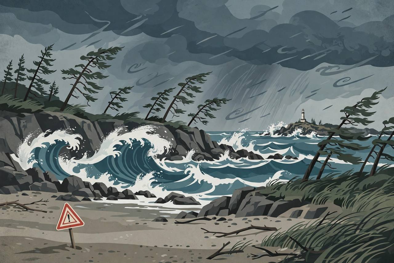
SEATTLE, Washington — A powerful Pacific storm driven by a hurricane-force low off the coast of British Columbia is lashing the Washington and northern Oregon coast this weekend, with the worst of the surf still to come on Sunday, the National Weather Service (NWS) says. Storm Warnings are in force on the coastal waters, High Wind Warnings have covered the beaches and headlands, and High Surf Warnings run through Sunday evening for breakers the Portland weather office says could reach 33 feet.
Source: WeatherBoy
The engine of the storm is a deep low that the NOAA Ocean Prediction Center's surface forecast labelled “HURCN FORCE” — hurricane force — off British Columbia on Saturday afternoon, with its fronts sweeping into Washington and Oregon. It is the kind of early-November Pacific system that turns the region's rugged coast dangerous in a matter of hours: first the wind, then a steep, long-period westerly swell that arrives overnight and peaks on Sunday.
What is warned, and where
On the Washington coast, the NWS office in Seattle issued a Storm Warning for six coastal marine zones from Cape Flattery — the northwestern tip of the Olympic Peninsula — south to Cape Shoalwater, out to 60 nautical miles offshore, running from 10 a.m. PST Saturday to 10 a.m. PST Sunday. Ten to 60 miles out, forecasters expected southwest winds of 30 to 40 knots with gusts to 50 knots, building seas of 23 to 28 feet. A Storm Warning means storm-force winds of 48 to 63 knots are occurring or imminent, and the Weather Service's standing advice to mariners is to remain in port, alter course, or secure their vessels.
Farther south, the NWS office in Portland put a Storm Warning on the waters from Cape Shoalwater, Washington, to Cape Falcon, Oregon, including the Columbia River Bar — the notoriously rough entrance where the Columbia River meets the Pacific — from 10 a.m. Saturday to 4 a.m. PST Sunday, with seas of 17 to 22 feet along the coast and 14 to 18 feet at the Bar. Still farther offshore, the Ocean Prediction Center's forecast for the waters 60 to 150 nautical miles out called for seas building to 20 to 32 feet on Saturday night and 24 to 33 feet on Sunday, and 23 to 38 feet in the outermost waters 150 to 250 miles offshore.
Source: National Weather Service — Ocean Prediction Center offshore forecast
Wind first, then the big surf on Sunday
The wind arrived first. NWS Portland's High Wind Warning ran from 3 p.m. to 11 p.m. PST Saturday for the south Washington coast and Oregon's Clatsop and Tillamook county coasts — including Astoria, Seaside, Cannon Beach, Tillamook, Long Beach and Tokeland — with south winds of 20 to 30 mph gusting to 60 mph. NWS Seattle's High Wind Warning covered the Grays Harbor County coast and the northern Washington coast, including Ocean Shores, Westport, La Push and Neah Bay, from 4 p.m. Saturday to 4 a.m. Sunday.
The surf is Sunday's story. In its Saturday-afternoon forecast discussion, NWS Portland said a steep, long-period westerly swell would push in early Sunday morning, with high confidence that seas would climb above 20 feet for a 12-to-18-hour stretch — likely reaching 20 feet between 1 a.m. and 4 a.m. Sunday and not dropping below 20 feet until after 10 p.m. Sunday — peaking around 22 to 26 feet across the northern waters including the Columbia River Bar, and 19 to 23 feet across the southern waters. High Surf Warnings run from 4 a.m. to 10 p.m. PST Sunday on the south Washington and Clatsop-Tillamook coasts, where breakers could reach 33 feet; a High Surf Advisory covers the central Oregon coast with breakers to 28 feet; and Seattle's High Surf Warning covers the northern Washington and Grays Harbor coasts from 10 p.m. Saturday to 10 p.m. Sunday, with seas of 22 to 26 feet. A Hazardous Seas Warning then follows on the northern waters from 4 a.m. Sunday to 4 a.m. Monday.
Source: National Weather Service Portland — Area Forecast Discussion
Forecasters stress the sneaker-wave threat all weekend: waves that suddenly run much farther up the beach than the ones before them, sweeping people off rocks, logs and jetties without warning. The Weather Service's advice is blunt — stay off rocks, logs and jetties near the waterline, keep well back from the surf, and never turn your back on the ocean while the warnings are in force.
Why it matters for local residents — and for Punjabi readers in the region
The warned coastline is the weekend coastline for the Seattle-Tacoma region, home to one of the largest Punjabi communities in the United States: the beach towns named in the warnings — Ocean Shores, Westport, Long Beach, Seaside and Cannon Beach — are the standard day-trip destinations from Seattle, Kent, Auburn, Renton and Tacoma. Families planning a Sunday drive to the coast should treat this as a look-from-a-safe-distance weekend at most: the High Surf Warnings are in force for the whole of Sunday daylight, and the most dangerous conditions are exactly the spectacular ones that draw crowds to viewpoints and jetties.
For truckers and freight, the exposure is different. The interstate spine — I-5 — runs inland and is not under the coastal warnings, but the coastal highway, US-101, threads the warned headlands and river mouths, and the Columbia River Bar is the shipping gateway to the Port of Portland: bar conditions of 14 to 18 feet with storm-force gusts are the kind that delay bar pilots and slow river traffic. Drivers with coastal deliveries on US-101 on Sunday should expect spray, debris and possible local restrictions, and check conditions before setting out.
What happens next
The Storm Warnings on the nearshore waters expire Sunday morning — 4 a.m. PST off Oregon and the Columbia River Bar, 10 a.m. PST off Washington — but the ocean does not calm with them: the High Surf Warnings run to 10 p.m. PST Sunday and the Hazardous Seas Warning on the northern waters to 4 a.m. Monday, as the swell slowly subsides. Forecasters said that if storm-force gusts arrived later than expected, the marine Storm Warning could be extended. The next checks are the NWS Seattle and Portland offices' Sunday updates at weather.gov — and anyone heading for the coast should read them before, not after, the drive.