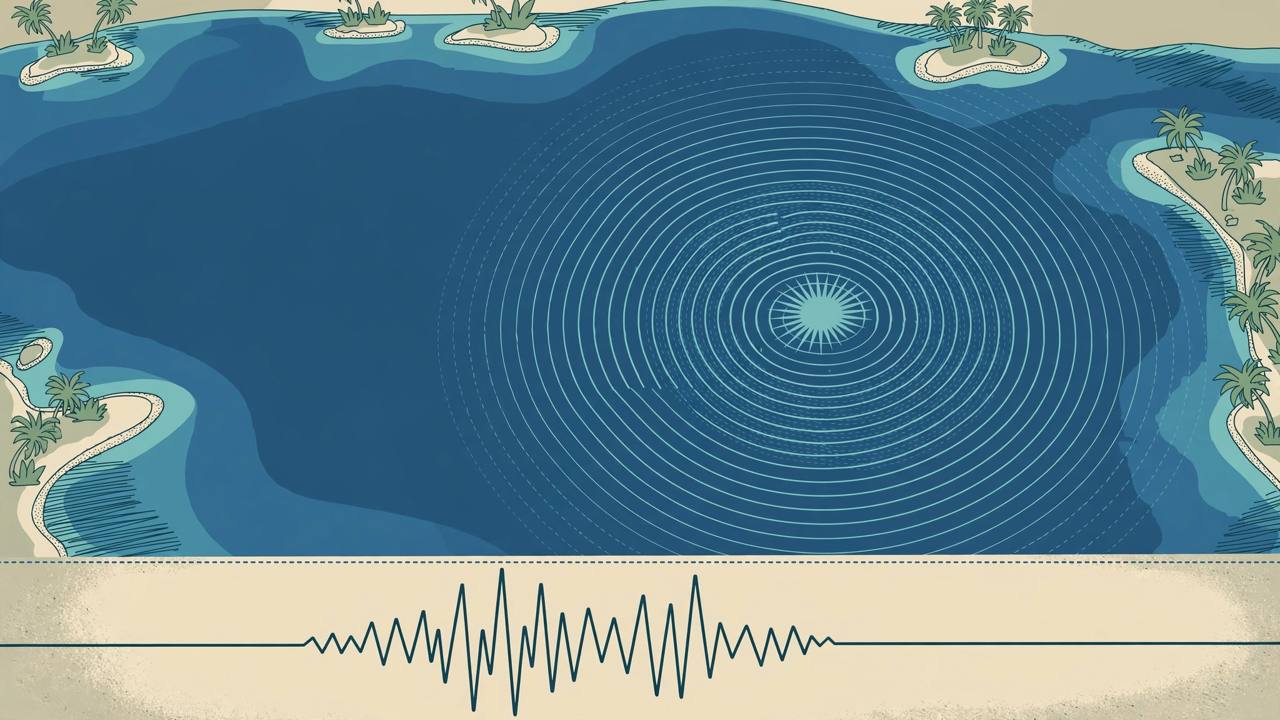
A strong earthquake struck under the Banda Sea off Indonesia's eastern Maluku province late on Monday, at 21:11 UTC — 6:11 a.m. on Tuesday local time — with its epicentre 151 km (94 miles) west-southwest of the town of Tual, according to the US Geological Survey (USGS). The USGS measured the quake at magnitude 6.6 (Mww) at a depth of 35 km, at coordinates 6.029°S, 131.446°E, and marked its solution as reviewed, meaning an analyst has checked the magnitude, location and depth.
Source: USGS event data via Tremr (Nov 16, 2026)
Indonesia's own agency read the same event as stronger. The Meteorology, Climatology and Geophysics Agency (BMKG) issued a preliminary report of magnitude 7.1 for a quake at 21:11:20 UTC, 126 km southwest of Southeast Maluku (Maluku Tenggara), reviewed by a seismologist, with no tsunami threat. The two figures are early measurements of one earthquake from different networks; agencies commonly revise magnitudes in the hours after an event, and Awaaz Punjab is reporting both figures as attributed, not settling on one.
Source: BMKG preliminary report via meteoblue warnings feed (Nov 16, 2026)
There was no tsunami threat from the quake, the monitoring reports said. The Watchers, summarising the USGS data at 21:30 UTC, put the maximum estimated shaking intensity at IV–V and the event's significance index at 670 out of 1,000. A USGS PAGER assessment carried by ZenitMap gave a green alert, meaning little impact was expected, and nine people had reported feeling the quake to the USGS at that check; no aftershocks of magnitude 4.5 or more within 150 km had been recorded by about 21:58 UTC.
Source: The Watchers — Shallow M6.6 earthquake hits offshore Maluku, Indonesia (Nov 16, 2026)
Confirmed: one offshore earthquake at 21:11 UTC on November 16 in the Banda Sea near Tual (USGS and BMKG, with different magnitude readings of 6.6 and 7.1); no tsunami threat. Not yet known in the first hour: any casualties, injuries or damage — the USGS data published so far contains no casualty or damage figures, and no Indonesian official toll had been reported when this story was queued.
The epicentre sits offshore in one of the most seismically active parts of Indonesia, where the Banda Sea's tangle of tectonic plates produces frequent strong quakes, most of them under the sea and far from large towns. Tual, the nearest town named in the USGS location, lies on the Kai Islands in Maluku province. An offshore epicentre 151 km away and a 35 km depth both reduce the shaking felt on land compared with a shallow quake directly under a populated area.
The Banda Sea quake was the second notable Maluku tremor of the day. Earlier on Monday, BMKG reported a magnitude 5.4 earthquake southeast of South Buru Regency in the Maluku Islands at a much greater depth of 323 km, which also carried no tsunami risk, Qatar News Agency reported via Fana News. That deep event was separate from the evening's shallow Banda Sea quake.
Source: Fana News / QNA — 5.4-magnitude earthquake strikes Indonesia (Nov 16, 2026)
What happens next: Indonesian authorities and BMKG will update the magnitude, check coastal communities in Maluku for damage, and monitor for aftershocks. If official casualty or damage reports emerge, Awaaz Punjab will update this story — for now, the verified picture is a strong offshore quake, two agency readings, and no reported harm.