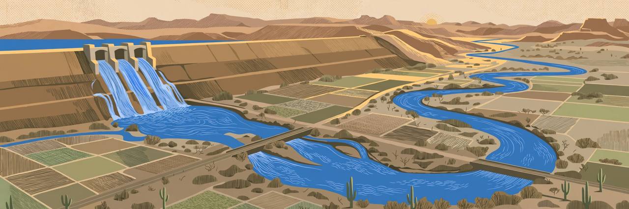
A flood warning for the Gila River in Arizona remains in effect until 11 a.m. MST on Tuesday, November 17, as the U.S. Army Corps of Engineers continues releasing water from Painted Rock Dam, the National Weather Service in Phoenix said in a flood statement issued at 7:24 p.m. MST on Friday, November 13. The warning covers Maricopa County in south-central Arizona and northeastern Yuma County in the southwest of the state.
Source: National Weather Service, Phoenix
The Weather Service said flooding caused by the upstream dam release continues, and that at 7:24 p.m. on Friday the releases were continuing with flow peaking at 3,000 cubic feet per second. A streamflow gauge immediately downstream of the dam also indicated a stage of 9.93 feet, the statement said.
Source: National Weather Service, Phoenix
A desert reservoir that filled in less than a week
Painted Rock Reservoir, northwest of Gila Bend, spends most of its life dry — a flood-control lake without the lake. Army Corps of Engineers data shows the reservoir held about 7 acre-feet of water through November 4. Water started pouring in early on November 5, and by Monday morning storage had peaked at about 70,600 acre-feet — roughly 23 billion gallons of water sitting behind an earthen dam in the desert.
Source: Yuma Informed
The Bureau of Reclamation's draft 2027 operating plan, released on November 5, underlines how unusual the fill is: it says no water reached or was released from Painted Rock in the water year that ended on September 30. The Corps finished the dam in 1959 to catch Gila River floods and let the water out slowly.
Source: Yuma Informed
How the water got there
The water came from the early-November storms that pushed the Salt River through Phoenix and the Gila River itself to flood levels. Local reporting citing Salt River Project figures said the normally dry Salt River through Phoenix carried about 49,000 cubic feet per second on Monday, November 2, and a U.S. Geological Survey gauge on the Gila at Estrella Parkway near Goodyear rose from zero to about 42,300 cubic feet per second that evening, on provisional data. Painted Rock is the last flood-control dam on the Gila before the river runs toward Yuma and the Colorado River.
Source: Yuma Informed
Releases from the dam began at 6 a.m. on Tuesday, November 10, at 250 cubic feet per second and ramped up over the following days, reaching up to 3,000 cubic feet per second by Thursday, November 12, the Yuma Sun reported. At that rate, the reservoir should empty in about 12 to 15 days.
Source: Yuma Informed
What is expected downstream
The Weather Service said flooding of rivers, creeks, streams and other low-lying and flood-prone locations is expected, and that low-water crossings are likely to become inundated and may not be passable. The locations named in the warning are farmlands and low-water crossings along the Gila River. Its precautionary advice is direct: turn around, do not drown when encountering flooded roads — most flood deaths occur in vehicles — and do not drive on flooded roads.
Source: National Weather Service, Phoenix
The Yuma Sun reported that 13 road crossings along the Gila River will be removed, working with Yuma County Public Works, to make room for the higher flows, and warned that some dirt roads and river crossings may close or become impassable. No list of the 13 crossings had been published in the reporting reviewed for this story. Weekend local reporting citing federal gauges said the gauge near Dateland, downstream toward Yuma, was still reading zero four days into the releases — a sign of how much water the dry riverbed is absorbing before the flow front moves on.
Source: Yuma Informed
The Gila Bend–Yuma corridor carries Interstate 8, one of the main east–west trucking routes between Phoenix, Yuma and San Diego, and Yuma County is one of America's biggest winter-vegetable farming regions. No closure of I-8 itself has been reported, but farm roads, dirt roads and low-water crossings along the Gila are exactly the routes local and agricultural traffic uses daily — and those are the places the Weather Service expects to go under water first.
What happens next
The flood warning runs until 11 a.m. MST on Tuesday, November 17, and the Weather Service can extend or reissue it while releases continue. Arrival estimates that the Yuma Sun attributed to the Wellton-Mohawk Irrigation and Drainage District have the water reaching Dome Valley, near Yuma, about three weeks after releases began — well after this warning expires — so further warnings are possible as the water moves downstream. In spring 2023, a smaller Painted Rock release took two to three months to work its way down to the Colorado River near Yuma, according to earlier local reporting on the dam. Anyone travelling or working near the Gila between Gila Bend and Yuma in the coming days should check the latest National Weather Service Phoenix statements and county road information before setting out, and never cross a flooded low-water crossing.