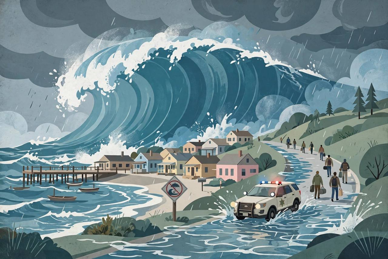
SANTA CRUZ, Calif. — Towering surf crashed ashore along the California coast on Saturday, prompting evacuation warnings for low-lying neighbourhoods in Santa Cruz County, the closure of beaches and the Santa Cruz Municipal Wharf, and a coastal flood warning farther south, as forecasters warned that anyone who ventured near the water risked being swept away. The Santa Cruz County Sheriff’s Office issued the evacuation warnings at 2 p.m. on Friday for parts of Capitola and Aptos, saying large waves could reach homes, flood properties and make roads impassable.
Source: Lookout Santa Cruz
The National Weather Service office for the San Francisco Bay Area said breaking waves of 25 to 35 feet were expected along the Pacific coast on Saturday, with occasional sets of 40 to 50 feet likely at favoured breaks such as Mavericks near Half Moon Bay. A High Surf Warning was in effect there until 4 a.m. on Sunday. Fresno television station KMPH called the swell some of the biggest waves to reach California in a few years.
Source: Weatherboy / National Weather Service
“These waves bring tremendous power that will overpower anyone in the water and cause coastal erosion,” the weather service said in its forecast discussion. “The risk of drowning is very high this weekend. Do not go in the water, avoid climbing on the rocks or leaning over seawalls, and never turn your back on the ocean.” The swell was generated by a series of powerful low-pressure systems over the northeastern Pacific, which the weather service’s Bay Area office described as “hurricane force” storms.
Evacuation warnings in Capitola and Aptos
The warnings, issued by the sheriff’s office and the Capitola Police Department, cover three evacuation areas: Capitola Village, including the Esplanade and the Venetian (Zones CTL-E027-A and CTL-E029-B); the Las Olas Drive and Beach Drive area of Rio Del Mar in Aptos, including Platform Beach (Zone CTL-E048); and the Potbelly Beach and New Brighton State Beach area (Zone CTL-E031). The sheriff’s office urged people in those areas to think about leaving before conditions got worse, warning that if waves reach homes or damage roads, emergency crews may be delayed or unable to reach people.
Source: Lookout Santa Cruz
“Large waves have the potential to reach coastal homes and properties, causing dangerous flooding and making access to affected areas difficult or unsafe,” the sheriff’s office said, as reported by SFGate. “Residents should not wait for conditions to worsen before considering leaving.” No evacuation orders — the mandatory step above a warning — had been issued as of the county’s most recent update on Friday afternoon, and the warning stays in effect until conditions improve. Residents can follow updates through CruzAware and the Santa Cruz County emergency information website.
An evacuation warning gives residents time to prepare and strongly consider leaving before conditions become dangerous. An evacuation order, which had not been issued in Santa Cruz County as of Friday afternoon, directs residents to leave immediately.
Beaches, wharf and 17-Mile Drive closed
The City of Santa Cruz closed all city beaches and the Santa Cruz Municipal Wharf from Friday night through early Sunday, and county officials told people to stay away from the shoreline. In Monterey County, public safety agencies closed a long list of beaches and coastal turnouts from Friday evening until Sunday morning, “with a very likely extension through Tuesday,” according to a release posted by Caltrans District 5 on behalf of the county. The closures included San Carlos and McAbee beaches in Monterey, coastal turnouts in Pacific Grove, beaches and turnouts in Pebble Beach, Carmel River State Beach, Garrapata Beach, Point Lobos State Natural Reserve and Asilomar State Beach. SFGate reported that 17-Mile Drive in Pebble Beach was closed to visitors and, in some places, to residents.
Flooding risk runs the length of the West Coast
Farther south, the weather service office in Los Angeles and Oxnard issued a Coastal Flood Warning for San Luis Obispo County beaches and the Central Coast beaches of Santa Barbara County from 3 a.m. to 6 p.m. on Saturday, with a High Surf Warning calling for “dangerously large breaking waves of 18 to 25 feet” until 3 a.m. on Sunday. The office said widespread flooding was likely in low-lying areas such as Oceano Dunes and that breaking waves could hit the Cayucos and Pismo Beach piers and the Morro Bay Harbor entrance. The San Luis Obispo Tribune reported that the Pismo Beach Pier was closed, and KMPH reported that the pier and Oceano Dunes were closed on Saturday but could reopen on Sunday. To the north, forecasters warned of breaking waves of 30 to 40 feet along the Del Norte, Humboldt and Mendocino coasts until 4 a.m. on Sunday, 30 to 35 feet on the south-central Oregon coast, and breakers up to 30 to 35 feet on the north and central Oregon coast and the south Washington coast, where the sneaker-wave danger was called “extreme.”
A shoreline that has been hit before
These neighbourhoods have been in this situation before. In January 2023, the county issued evacuation warnings for the same areas as waves and high tides battered the coast. Those storms did widespread damage, including to Capitola Wharf and Seacliff State Beach, and in unincorporated Santa Cruz County alone, damage to roads, parks and coastal access areas was estimated at $27.8 million. This time, offshore buoys showed the swell’s power before it arrived: a buoy west of San Francisco measured waves of 34.1 feet on Friday afternoon, passing about every 19 seconds — a long interval that signals a powerful, long-travelled swell able to surge farther up beaches than people expect. Early on Saturday, the Bodega Bay buoy reported significant wave heights of about 28 feet and the San Francisco buoy about 20 feet, both with the same 19-second period. The county also said El Niño was raising sea levels along the coast and that some beaches had less sand than usual, allowing waves to reach farther up the shore.
What happens next
Officials said the safest choice is to avoid the coast entirely. The U.S. Coast Guard said on Friday that it was prepared to respond as hazardous conditions affected the California coast through Sunday morning. “Mariners and beachgoers should monitor Coast Guard and National Weather Service updates, never turn their backs on the ocean, wear life jackets, and carry reliable communications equipment,” said Lt. John Corvino, a search and rescue mission coordinator with Coast Guard Sector San Francisco. As of early Saturday, no deaths, injuries or rescues tied to the surf had been reported in the official sources reviewed. The break will be short: the county urged residents not to return to the coast when conditions calm on Sunday because a second swell is expected on Monday, warning-level surf could return to the Central Coast late Sunday night through Monday, and forecasters expect a second frontal system on Sunday into Monday bringing a half-inch to an inch of rain in many Bay Area places, with a third, possibly stronger storm possible Tuesday through Thursday. For Punjabi and other diaspora families living and working along the Central Coast and in the wider Bay Area, officials’ advice is to check CruzAware and county updates before any coastal trip this weekend and to stay off beaches, rocks and jetties until the warnings expire.