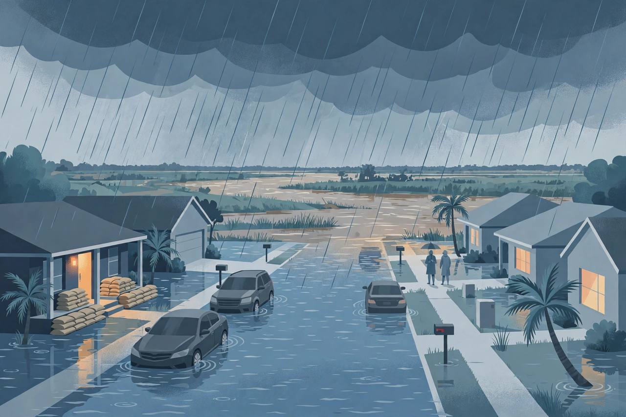
Heavy rain battered Central Florida on Wednesday, pushing the St. Johns River at Cocoa to record flooding and forcing school closures across two counties, as a flood watch stretching from Orlando to the Treasure Coast runs through Friday.
What happened on Wednesday
The heaviest rain arrived on Wednesday, November 18, soaking Brevard and Volusia counties and sending water over roads and into low-lying neighbourhoods. WFTV reported record flooding at the St. Johns River in Cocoa, with more storms expected through the week. The National Weather Service had placed most of Central Florida under a flood watch from Tuesday afternoon through Friday, warning that coastal communities could receive 8 to 12 inches of rain over the course of the week, with Wednesday bringing the heaviest rain and the highest impacts.
Source: WFTV
The watch covers nine counties — Volusia, Seminole, Orange, Osceola, Okeechobee, Brevard, Indian River, St. Lucie and Martin — including Orlando, Daytona Beach, Melbourne, Cocoa Beach, Vero Beach, Fort Pierce and Port St. Lucie. Forecasters said 3 to 6 inches would fall widely across east-central Florida, with isolated pockets seeing more than a foot. In South Florida, a further 2 to 4 inches was expected through Friday, with 6 to 8 inches possible in places.
Schools shut, sandbags out
Brevard Public Schools announced that all campuses and offices would close on Thursday, November 19. Volusia County schools went further, closing on both Thursday and Friday because of the severe weather. On the Treasure Coast, St. Lucie Public Schools sent pupils home two hours early on Tuesday and closed schools and offices on Wednesday as a precaution, while Indian River County ran a modified schedule with early dismissal and Martin County cancelled after-school activities for Tuesday and Wednesday.
Source: WFTV
In Brevard County, officials offered residents free sandbags on Tuesday from 7 a.m. to 6 p.m. at three locations — in Cocoa, Melbourne and Palm Bay — with a limit of 10 bags per vehicle. In Port St. Lucie, crews inspected drainage systems, cleared blockages and lowered water levels where possible. Volusia County crews monitored communities along the St. Johns River and checked drainage systems, while FOX 35 reported persistent flooding and rising river levels in Brevard, Volusia and Seminole counties.
Ground already soaked from earlier flooding
The new rain is falling on ground that never dried out. Earlier this month, Central Florida was hit by severe rain and flooding — Melbourne recorded 11.51 inches of rain on November 2, a daily record, and the National Weather Service reported 23.69 inches at Grant-Valkaria. Okeechobee County declared a state of emergency on November 2 after widespread flooding closed schools and roads. That is why forecasters warn that flooding can return quickly this week even where the rainfall is lighter than in the earlier storms. Awaaz Punjab reported the flood watch for east-central Florida and the St. Johns River on November 16; this week's rain is the storm that watch warned about.
What officials are telling residents
Officials across the region warn drivers never to enter flooded roads — if you cannot tell how deep the water is, turn around and find another route. The National Weather Service guidance cited by WFTV urges residents to check routes, identify alternate routes to higher ground, charge essential electronics and gather food, water, medications, flashlights and first-aid supplies, and to include pets in family plans. Sandbags should be put in place before water rises.
Never drive through flooded roads. Six inches of fast-moving water can knock a person down; a foot of water can float a car. Turn around — do not drown.
What happens next
The flood watch runs through Friday evening, and forecasters say the rain will peak around Melbourne before easing. Volusia County could still see 3 to 6 more inches of rain through Friday, and some watches could be upgraded to flood warnings if the heaviest rain materialises. The rain is being driven by a low-pressure system crossing the Gulf of Mexico towards South Florida, which forecasters say may develop further near Florida's east coast or the Bahamas. For residents along the St. Johns River and the east coast, the advice is unchanged: stay off flooded roads, watch local alerts, and expect school and travel disruption until the water recedes.