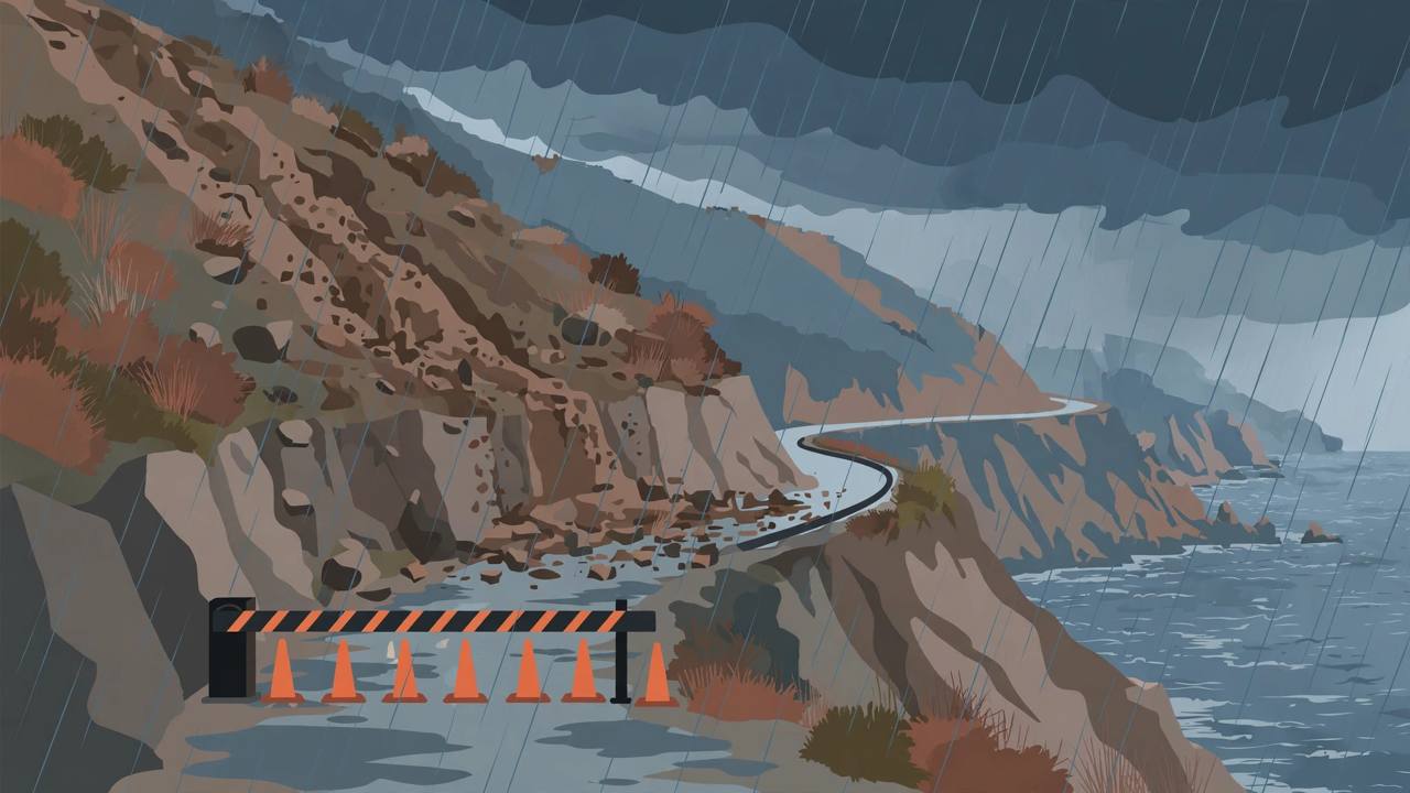
California's Highway 1 through Big Sur is fully closed for 46 miles after Caltrans shut the coastal road at 1 p.m. on Wednesday, November 18, warning that heavy storm rain falling on fresh wildfire burn scars could send mud, rock and burned debris pouring across the highway with little warning.
The closure runs from Nepenthe, at post mile 44 in Monterey County, south to Ragged Point in San Luis Obispo County, Caltrans District 5 said in its release. Both directions are closed, electronic message boards are warning travellers in advance of the closure points, and the agency is telling drivers to avoid any unnecessary travel through the area and use US 101, the inland highway, as the alternate route.
Why Caltrans closed the road before anything slid
Caltrans said the decision was precautionary: during the current storm events, the likelihood of debris-flow thresholds being exceeded on the Big Sur coast was high enough that keeping the road open was not safe. A post-fire debris flow is a fast-moving mix of mud, rock and burned material that can cover a coastal road in moments, and Highway 1 through Big Sur is cut into steep cliffs with few places for a driver to escape it.
The National Weather Service had issued a flash flood watch for parts of Big Sur burned during the summer Plaskett and Timber fires, including parts of Highway 1 and the Los Padres National Forest near Big Sur, the San Francisco Chronicle reported. Burned hillsides shed water far faster than vegetated slopes, which is why the same amount of rain that a healthy slope absorbs can turn into a debris flow on a burn scar.
Part of a much larger California storm
The closure came as an atmospheric river — a long plume of Pacific moisture — pounded the West Coast on Wednesday. FOX Weather reported that NOAA's Weather Prediction Center put the Bay Area under a Level 2 flash flood risk for Wednesday, with 2 to 3 inches of rain possible, and that the threat would shift south toward the Los Angeles metro area on Thursday, putting 30 million Americans under the Level 2 flash flood threat across the two days.
Downtown San Francisco had recorded about 2.18 inches of rain by 2 p.m. Wednesday, close to the city's historical day-of record of 2.24 inches set in 1918, according to National Weather Service figures reported locally. In the Sierra Nevada, winter storm warnings covered more than 5 feet of snow at the highest peaks and 1 to 3 feet above 4,000 feet, FOX Weather reported — the same storm system that forced the Big Sur closure.
Highway 1 is closed in both directions between Nepenthe (post mile 44) and Ragged Point. Use US 101 as the alternate route. There is no fixed reopening time: Caltrans crews will assess the road in the early morning hours of Thursday, November 19, before deciding. Live conditions are on Caltrans QuickMap, the CHP traffic incident page and Caltrans District 5 channels (@CaltransD5).
A road with a long history of storm closures
Big Sur's Highway 1 is one of the most famous drives in the United States and also one of its most fragile. Slides in 2023 and 2024 — including the Regent's Slide of February 9, 2024, about 45 miles south of Carmel — blocked full through-access along the coast for roughly three years before the road fully reopened, and local reporting at the time put the hit to Big Sur visitation at about 35 percent during the closure years. Wednesday's closure is different in kind: it is a preventive safety shutdown ahead of a forecast debris-flow risk, not a response to a slide that has already taken the road out — which is why a Thursday-morning assessment, rather than a months-long repair, is the next step.
Drivers should not confuse the 46-mile storm closure with the separate, short Torre Canyon work zone near post miles 39 to 40, where one-way traffic control has been in place for construction. The storm closure spans Monterey County into San Luis Obispo County and covers the full roadway.
Impact on residents, visitors and truck traffic
For Big Sur residents and businesses between the closure points, a full Highway 1 closure means the coast road is simply not an option in either direction until Caltrans reopens it, and every trip north or south has to route inland to US 101 — a substantial detour. Delivery vehicles, service trucks and visitors headed for Big Sur's hotels and restaurants face the same reroute, and Caltrans is asking anyone who does not need to travel through the area to stay away until crews have assessed the road.
What happens next is the early-morning assessment on Thursday, November 19. If the storm has not pushed debris onto the road and thresholds have eased, Caltrans can begin reopening; if debris has come down or the risk remains, the closure stays. Awaaz Punjab will update this story when Caltrans District 5 announces the result of that assessment.